
Art, Gold & Silver, Primitives & Rare Books
Lot 309B:
Description
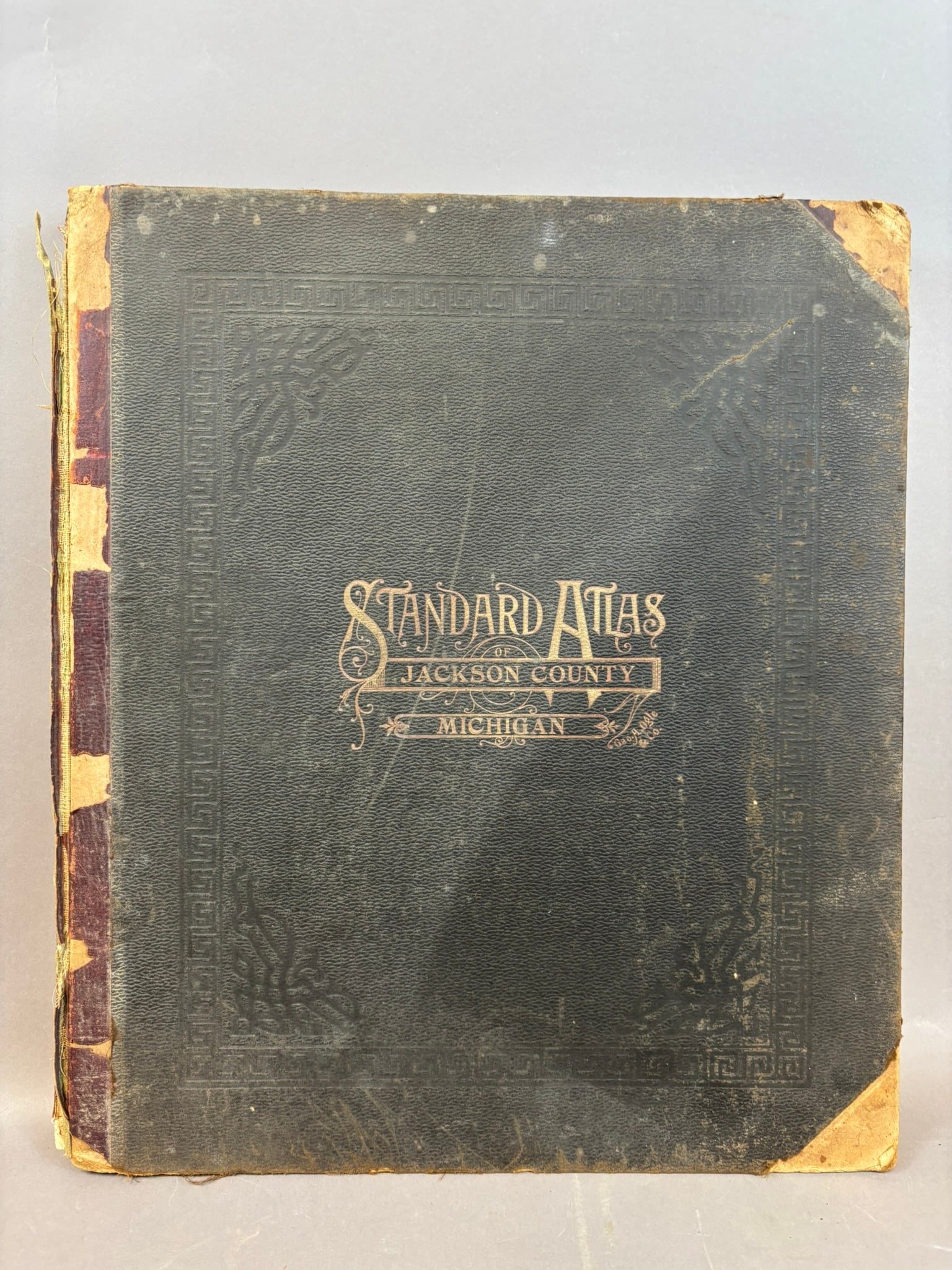
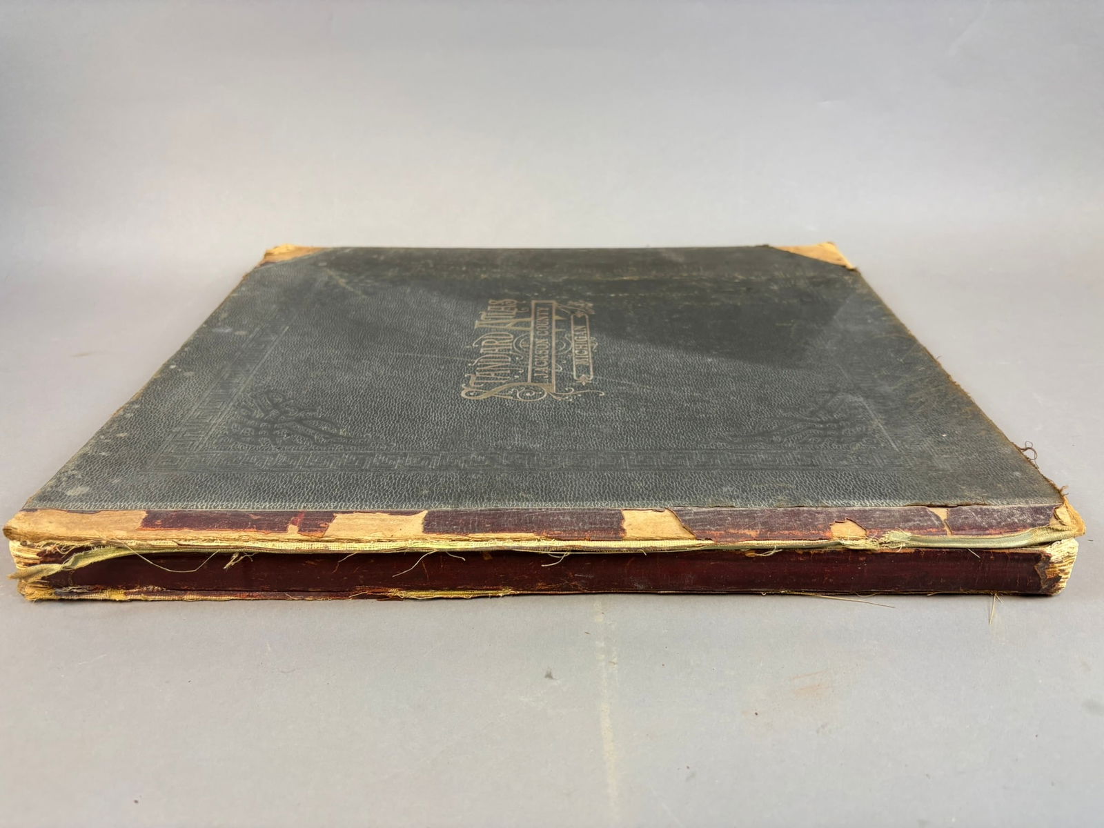
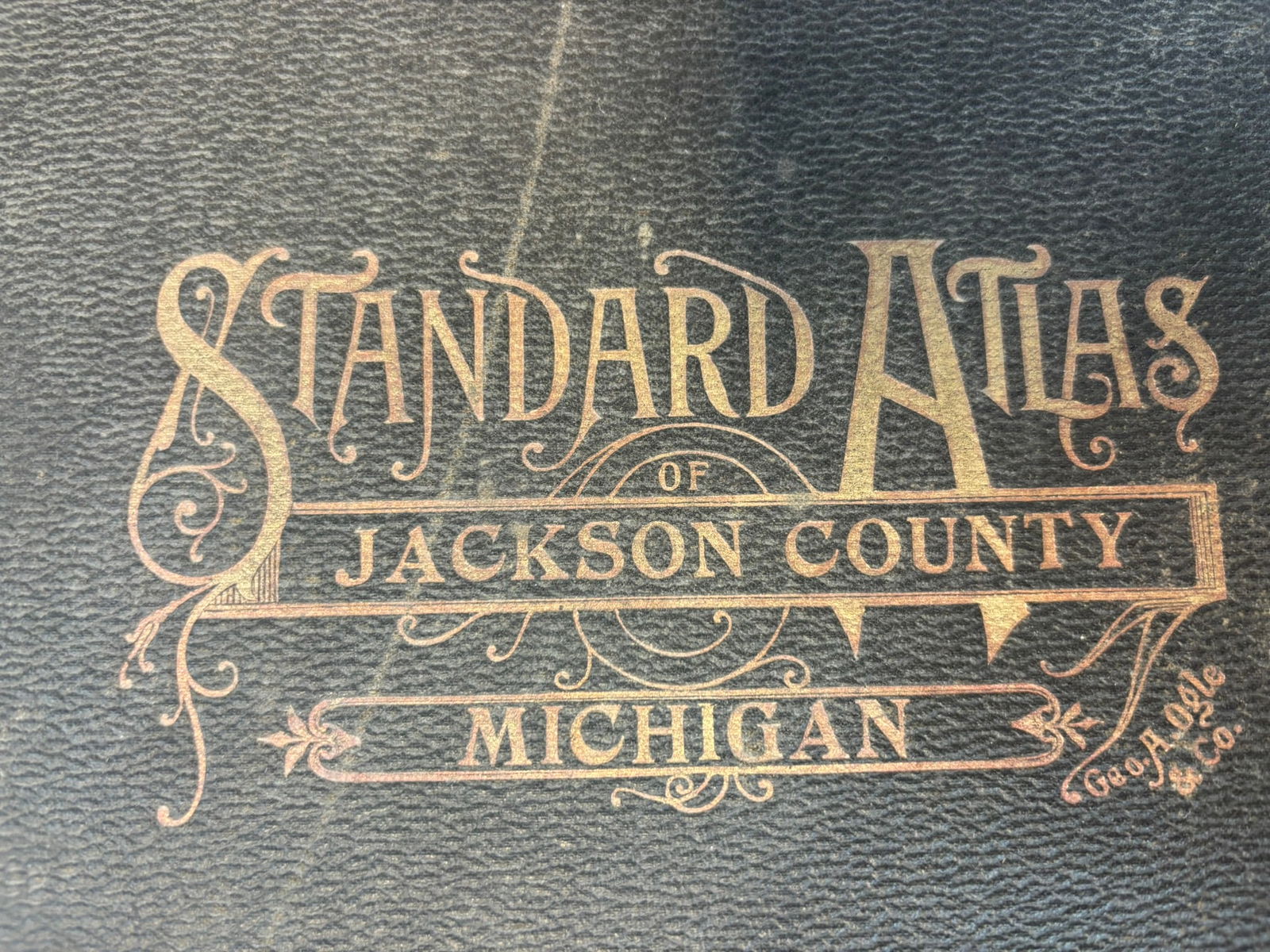
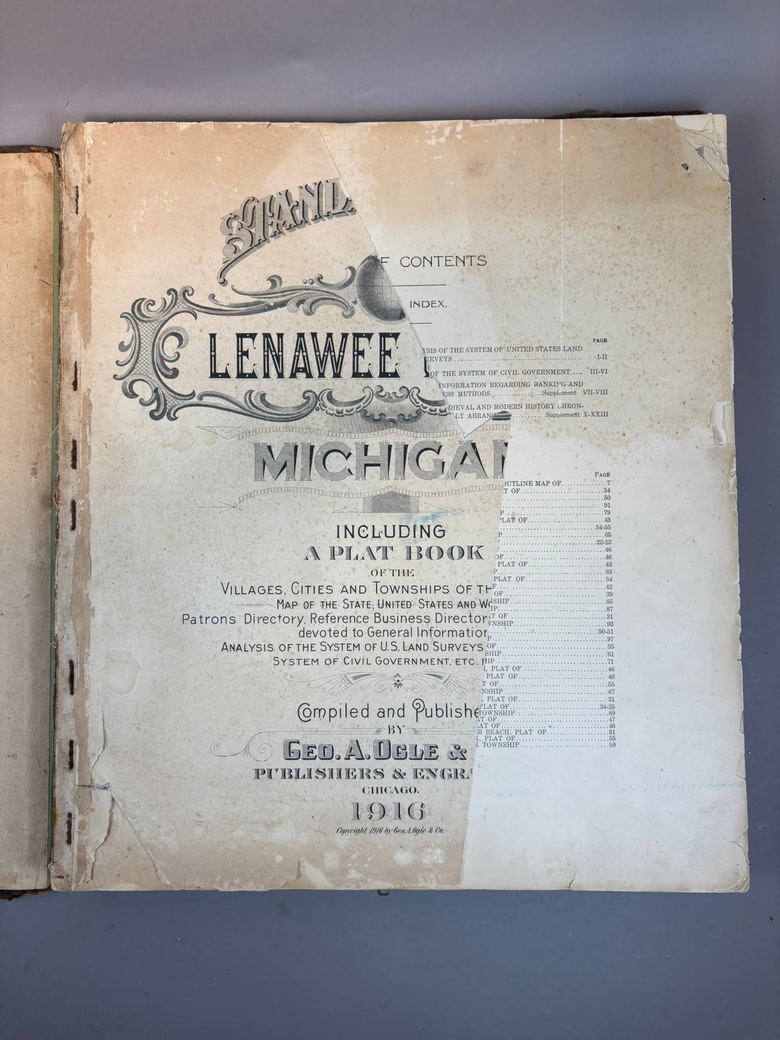
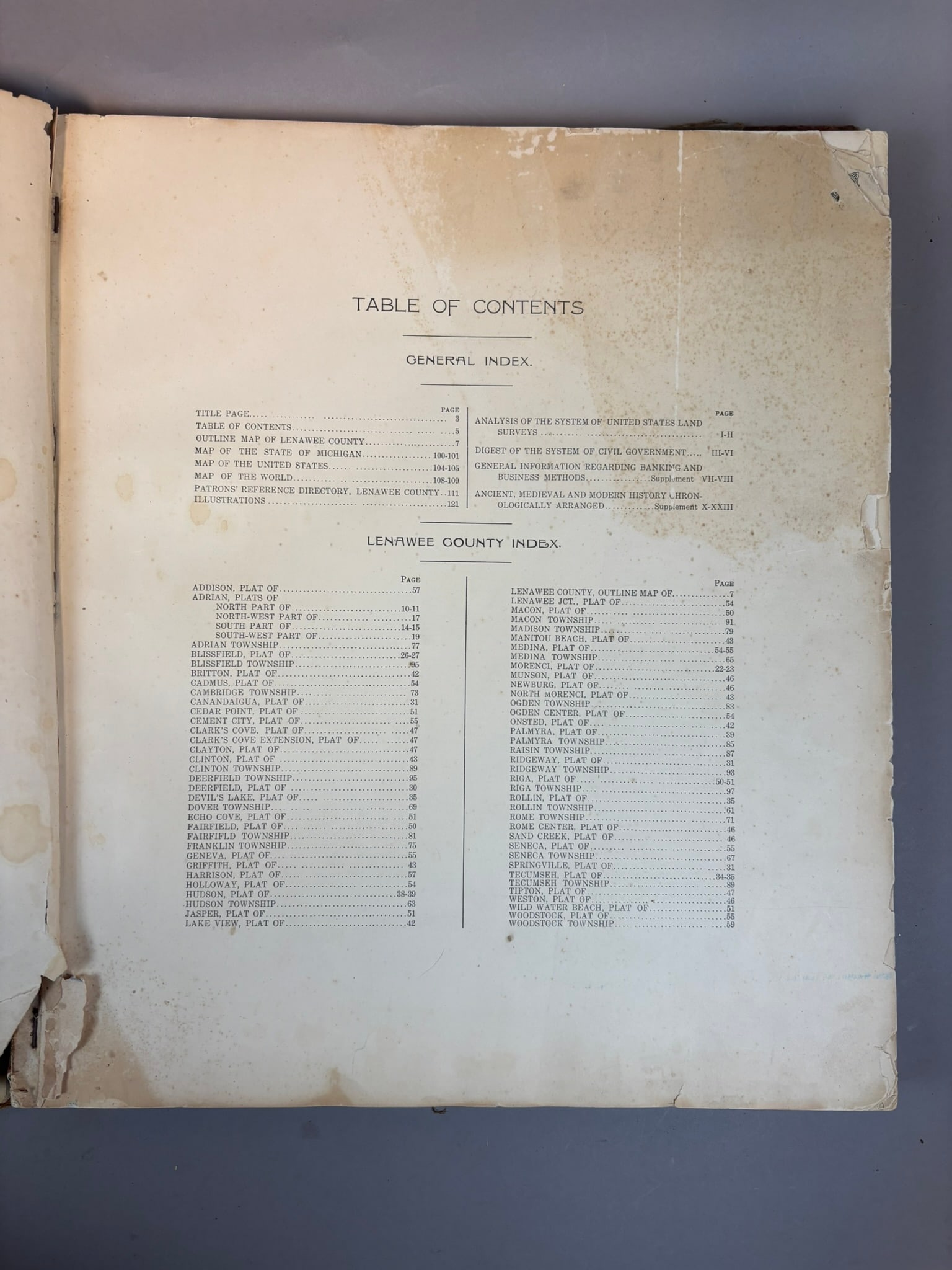
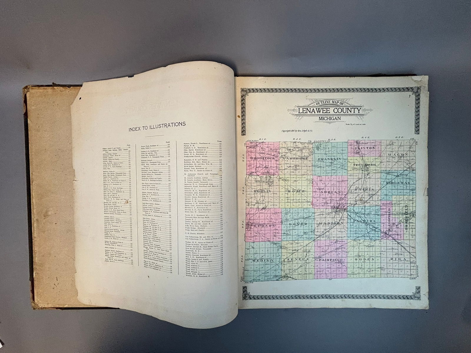
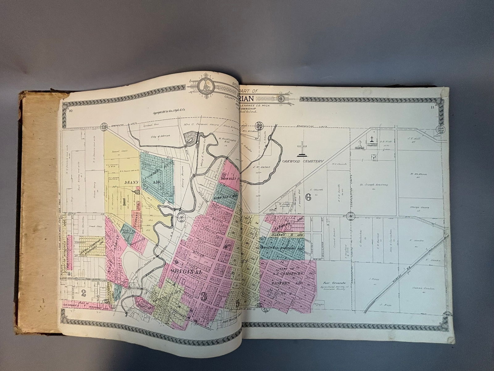
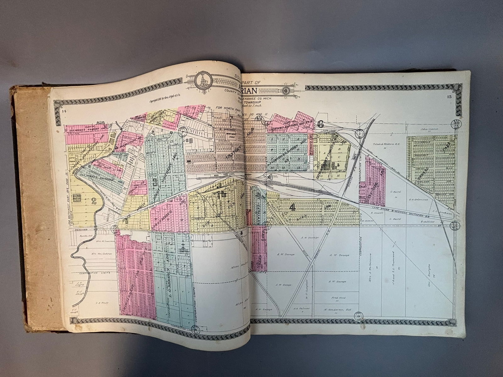
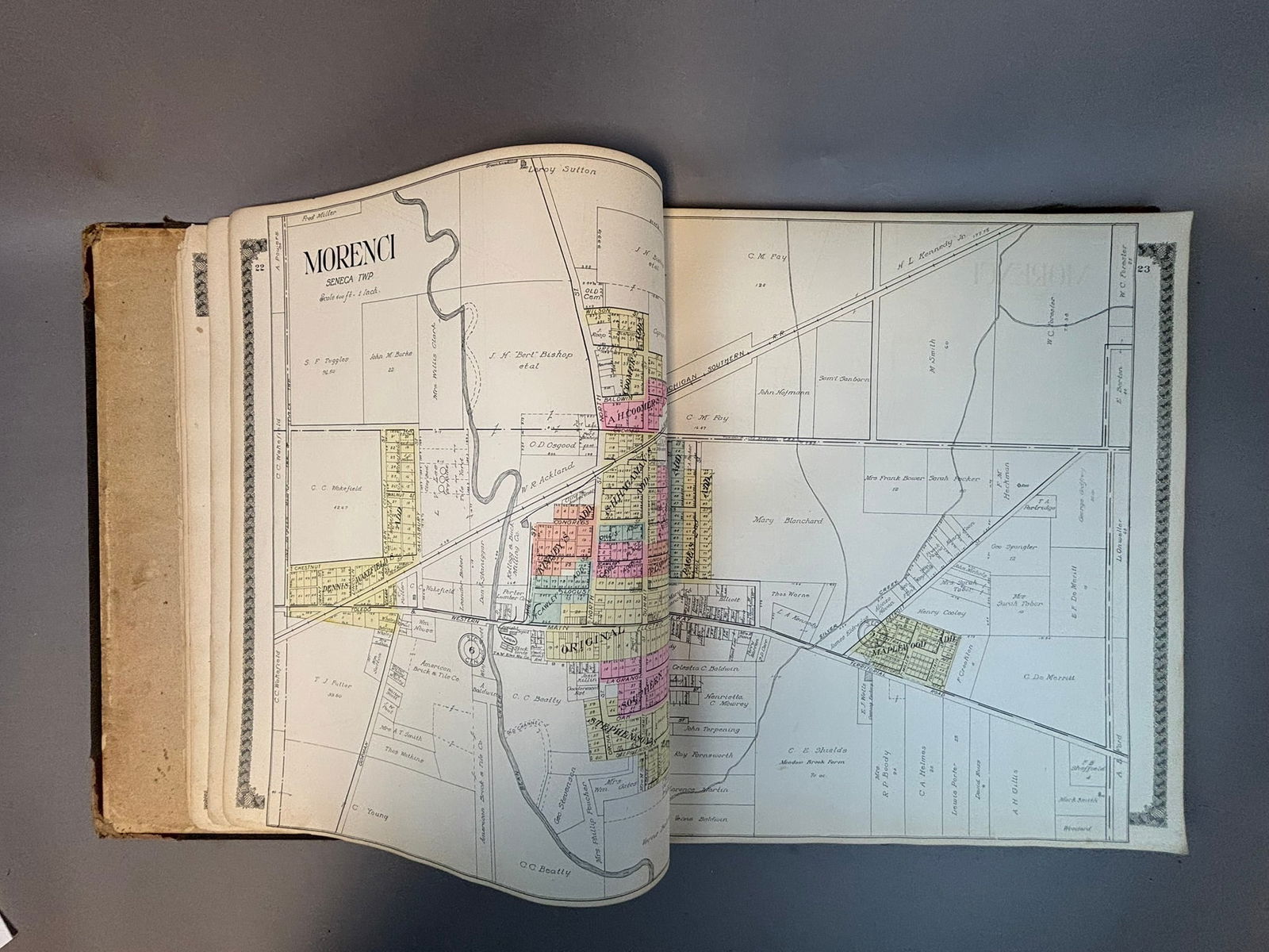
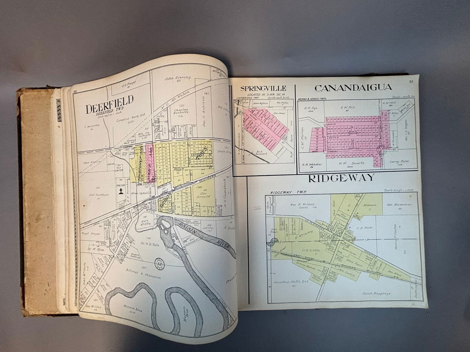
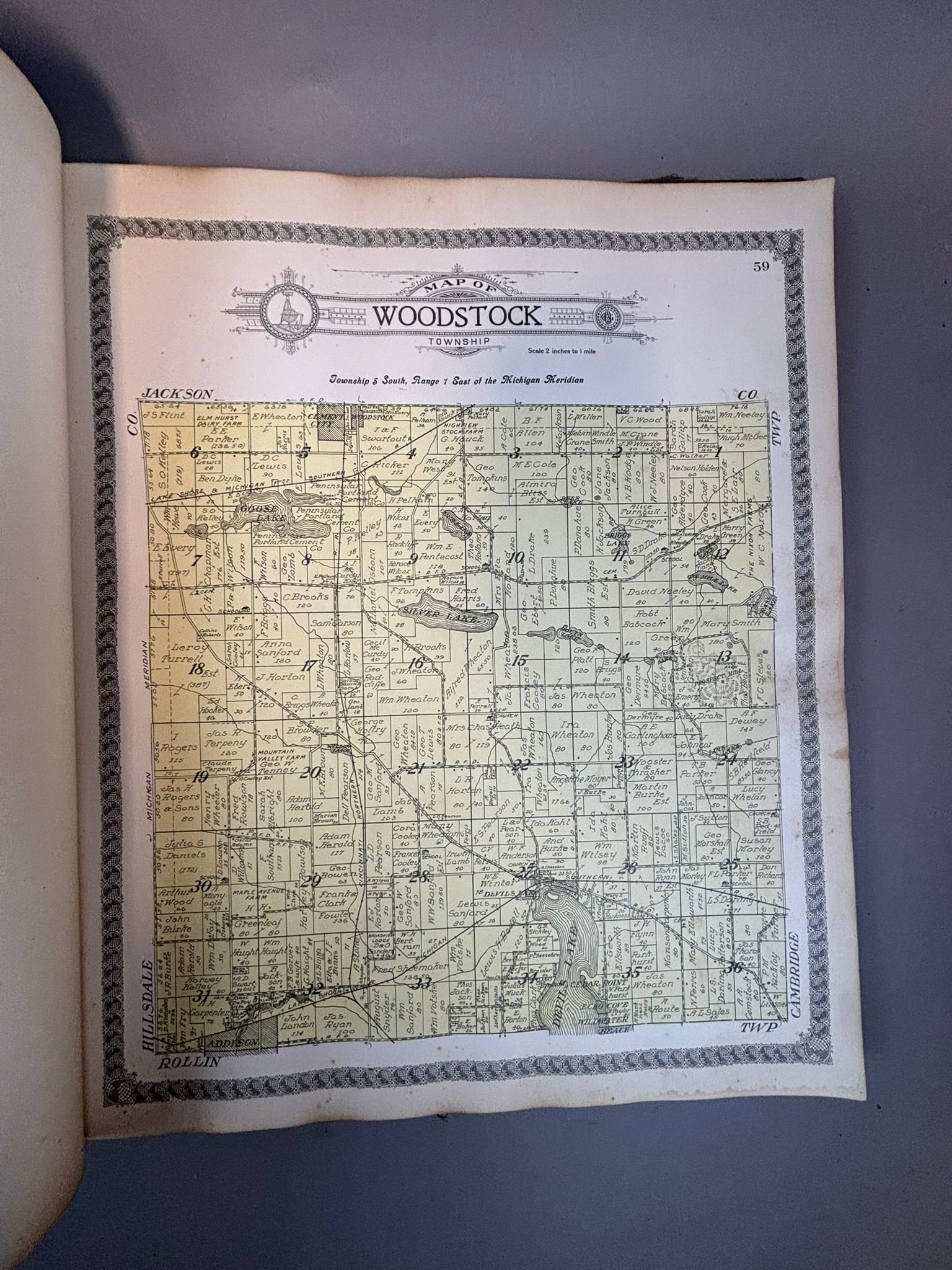
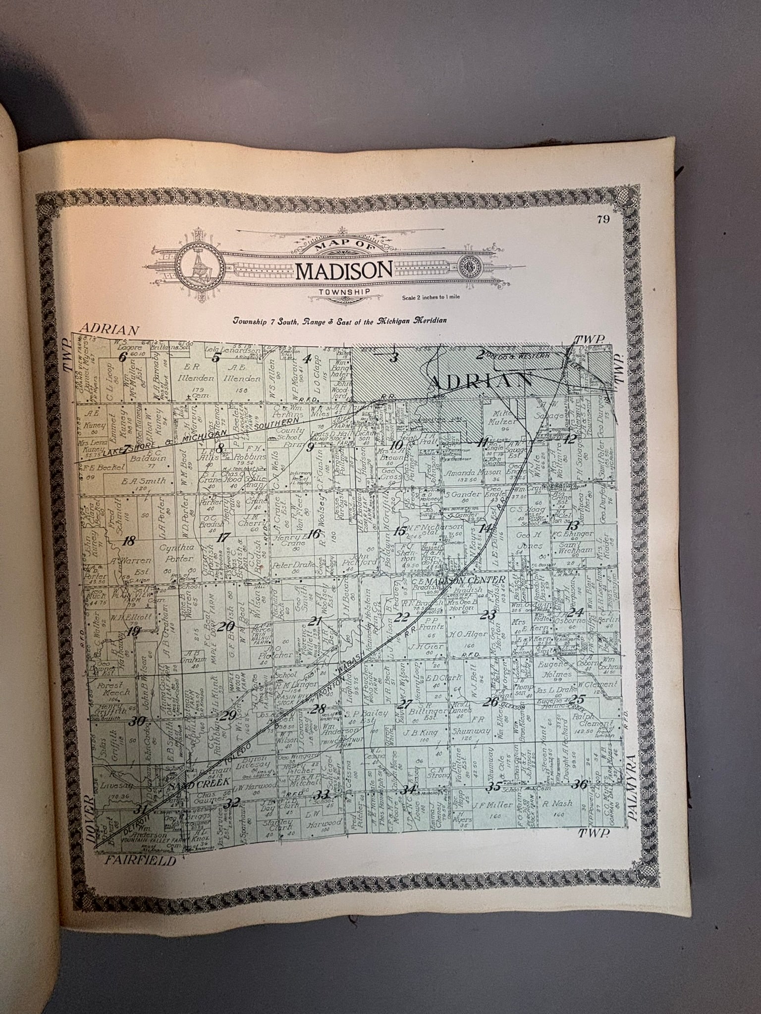
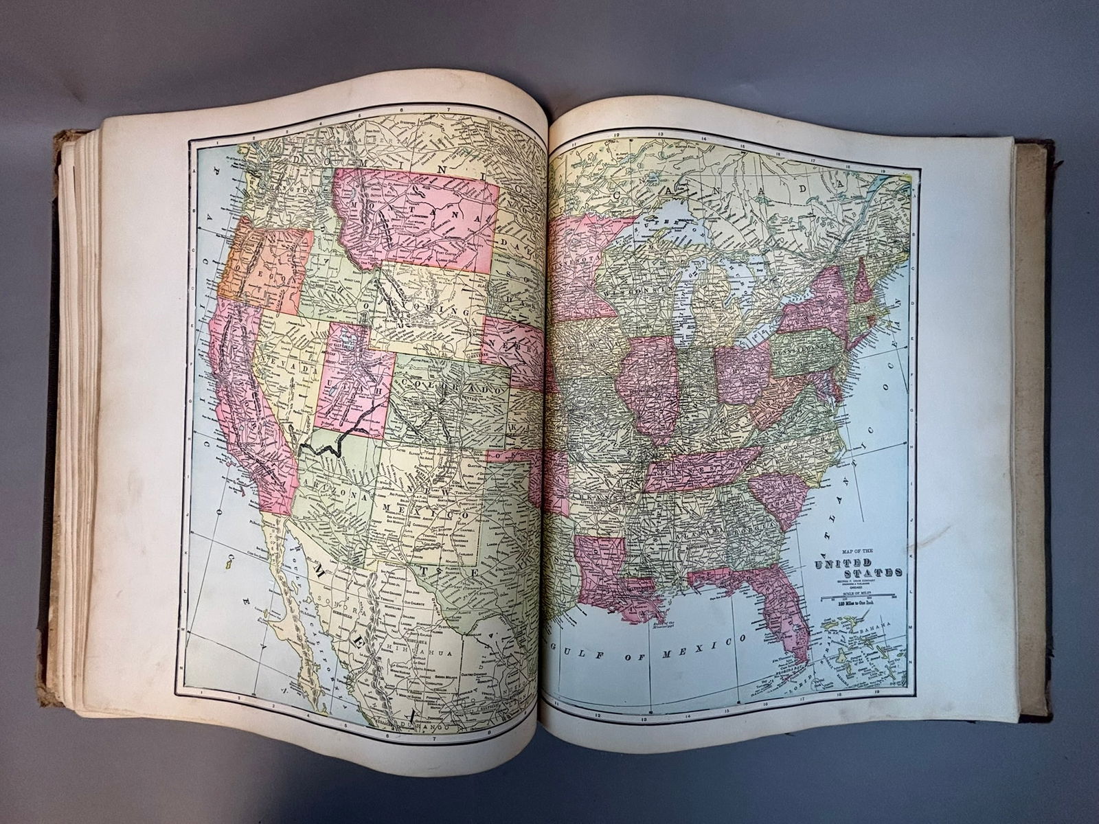
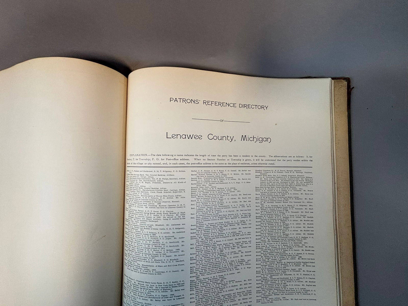
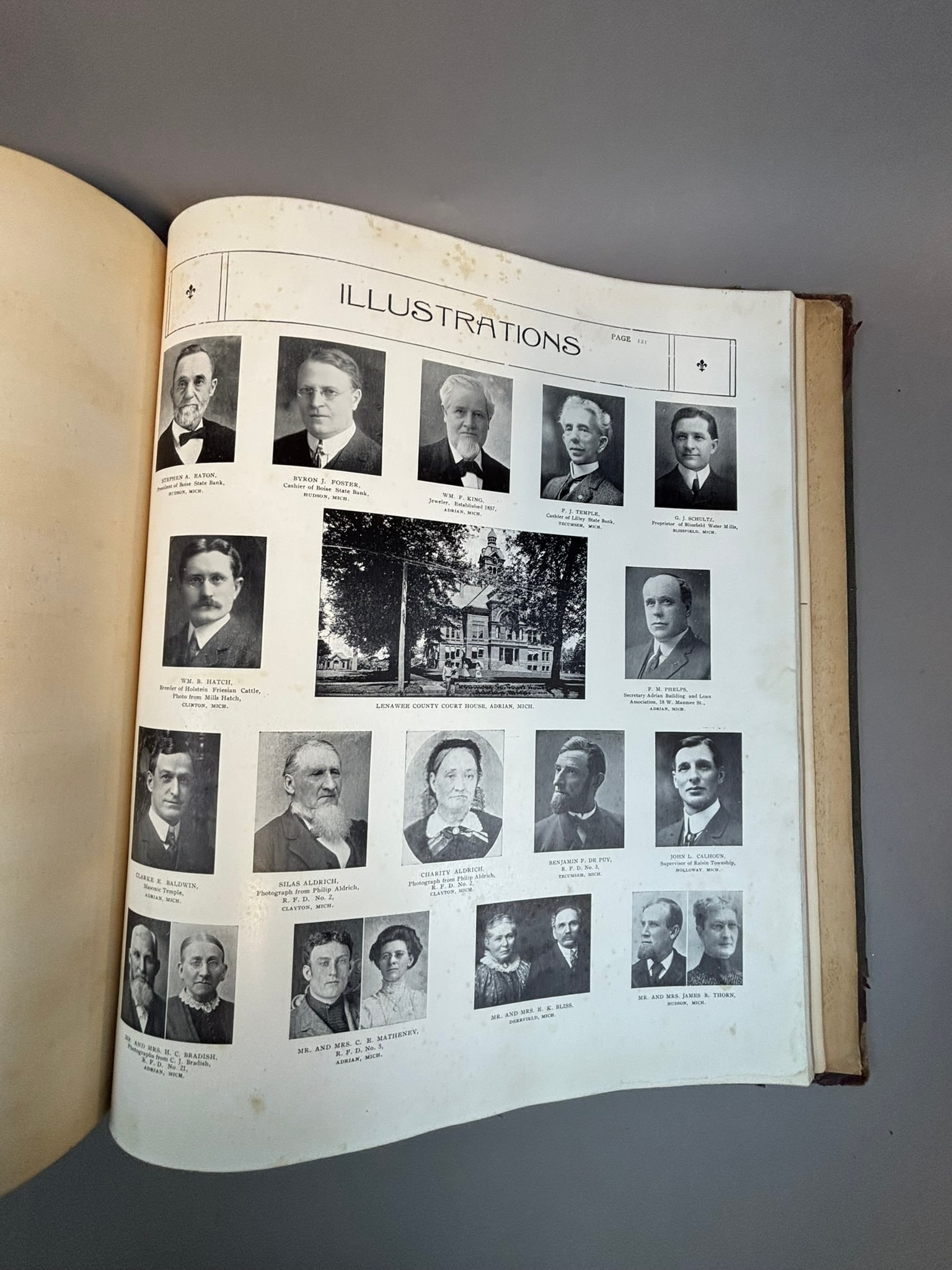
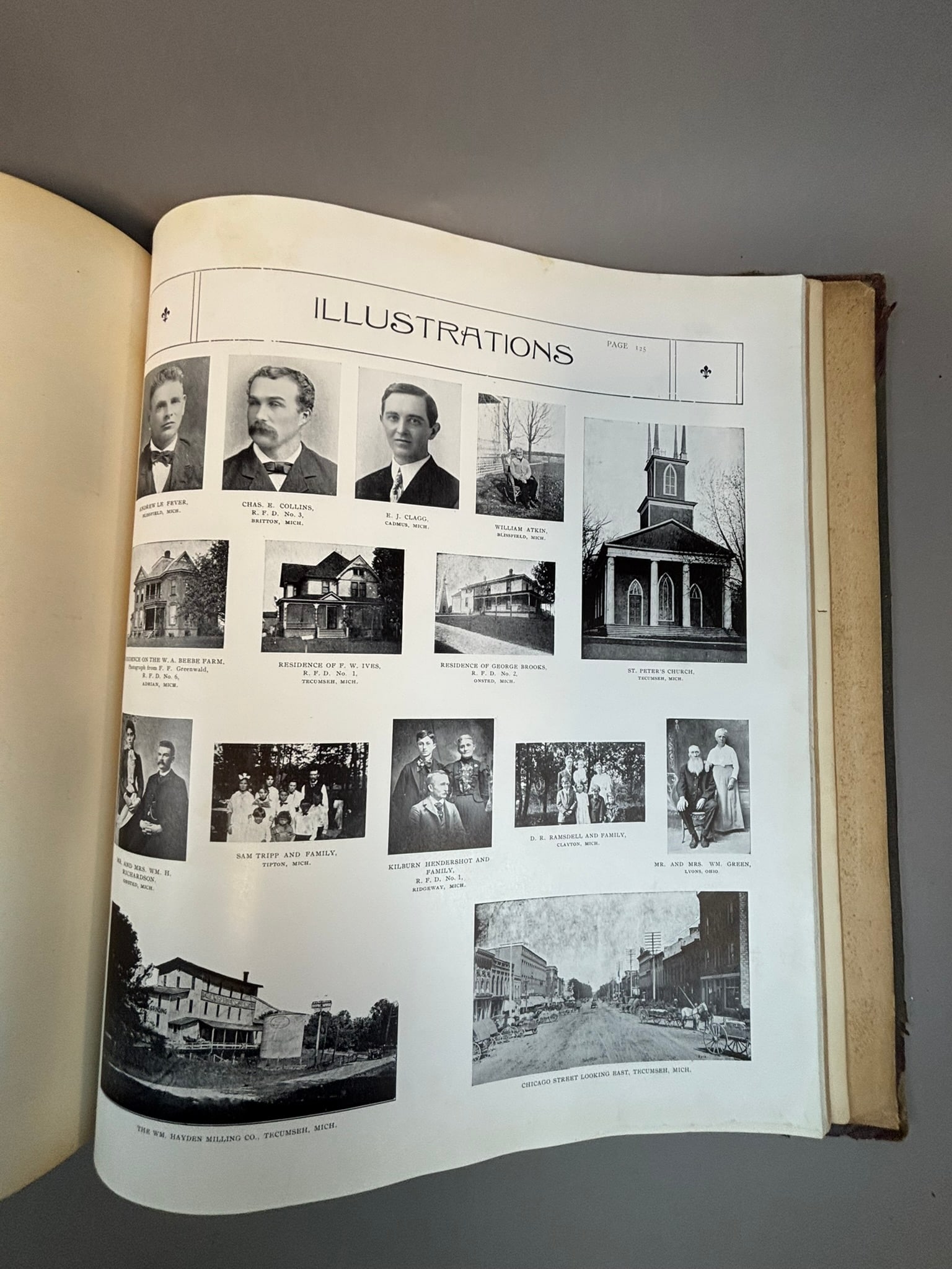
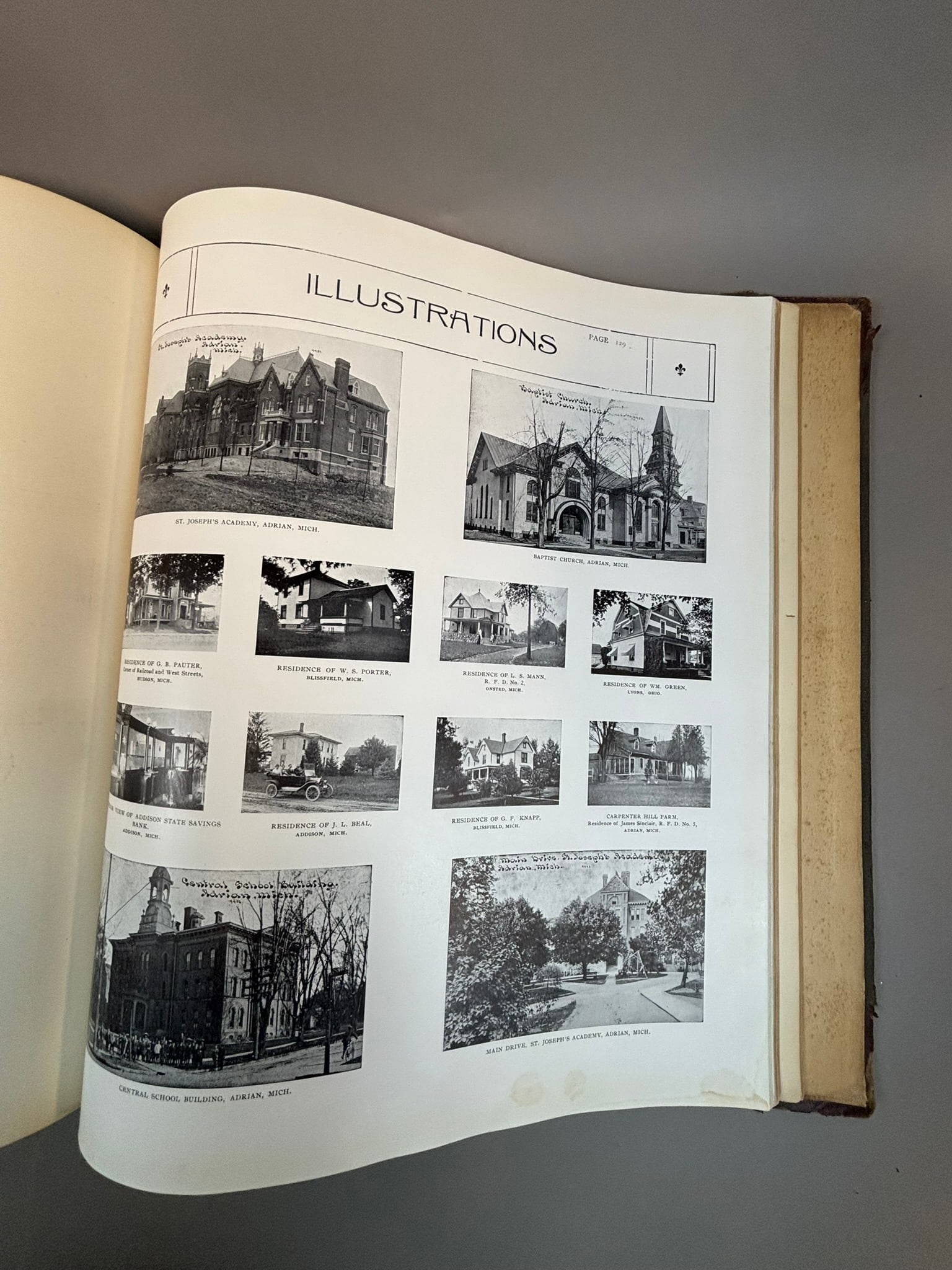
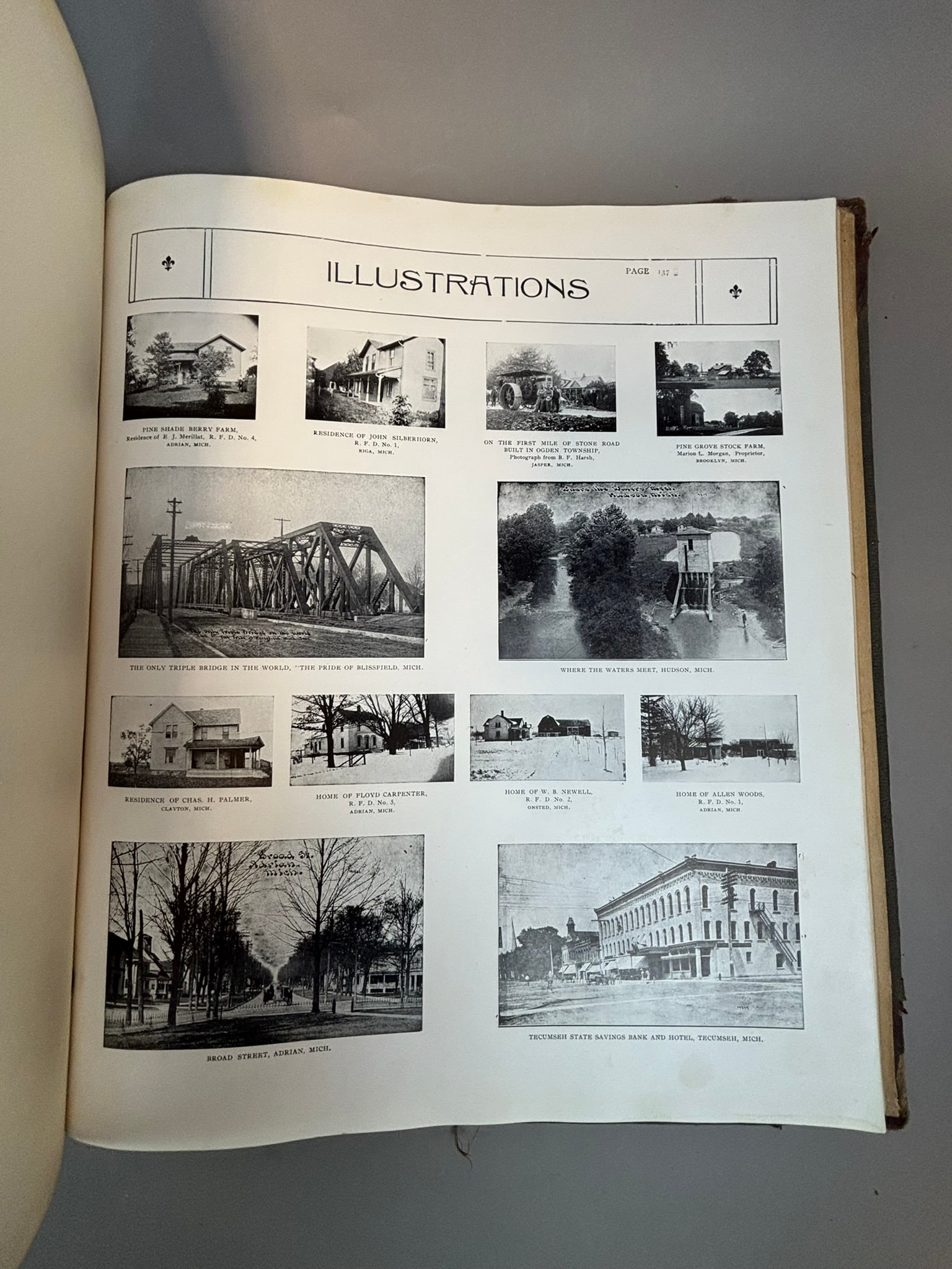
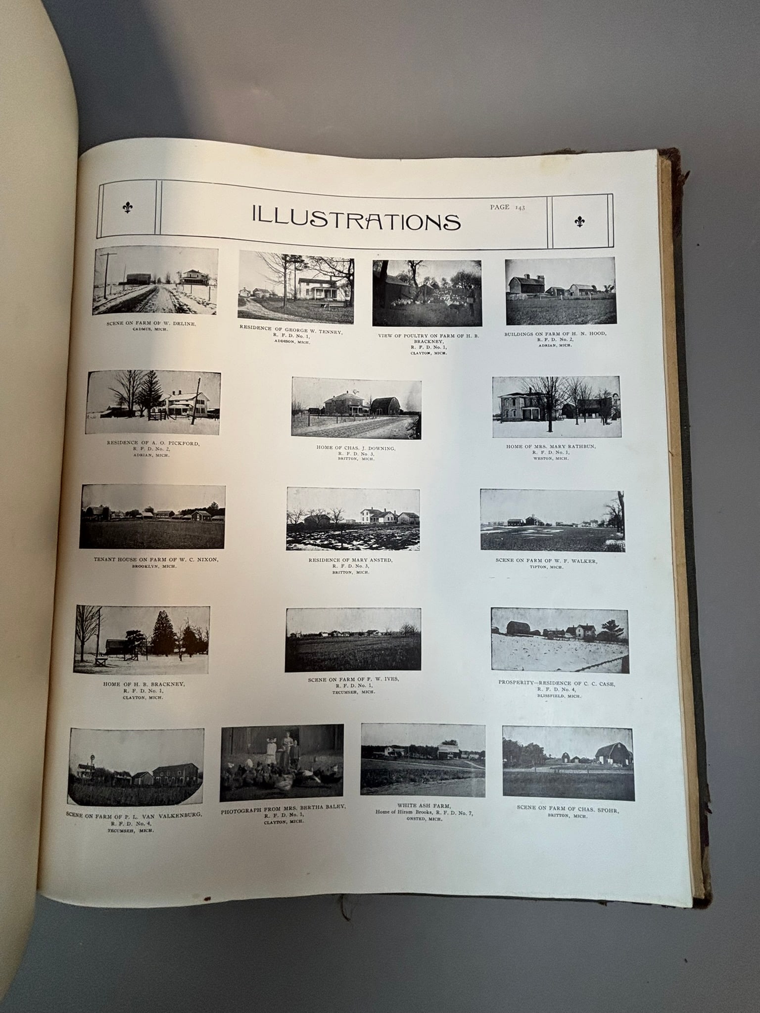
Early 20th century county atlas titled Standard Atlas of Lenawee County Michigan, compiled and published by Geo. A. Ogle & Co., Chicago, dated 1916. The large format volume contains numerous detailed township maps identifying landowners, property boundaries, roads, and railroads throughout Lenawee County, along with city maps including Adrian, Morenci, and surrounding communities. The atlas also includes a patrons’ reference directory, photographic portrait pages of notable county residents, and photographic plates depicting homes, farms, churches, schools, and local businesses of the period. Several pages show illustrated township layouts and detailed plat maps characteristic of early county land ownership atlases. Bound in original publisher’s cloth boards with gilt title to the cover. Measures approximately 15.75 x 18 inches. Condition shows heavy wear to the binding with edge losses, separated areas of the spine, toning, and scattered page wear, though many interior maps and photographic plates remain present and readable. A desirable regional historical atlas documenting land ownership, architecture, and development of Lenawee County, Michigan in the early 20th century.
Share this lot: