
Art, Gold & Silver, Primitives & Rare Books
Lot 308B:
Description
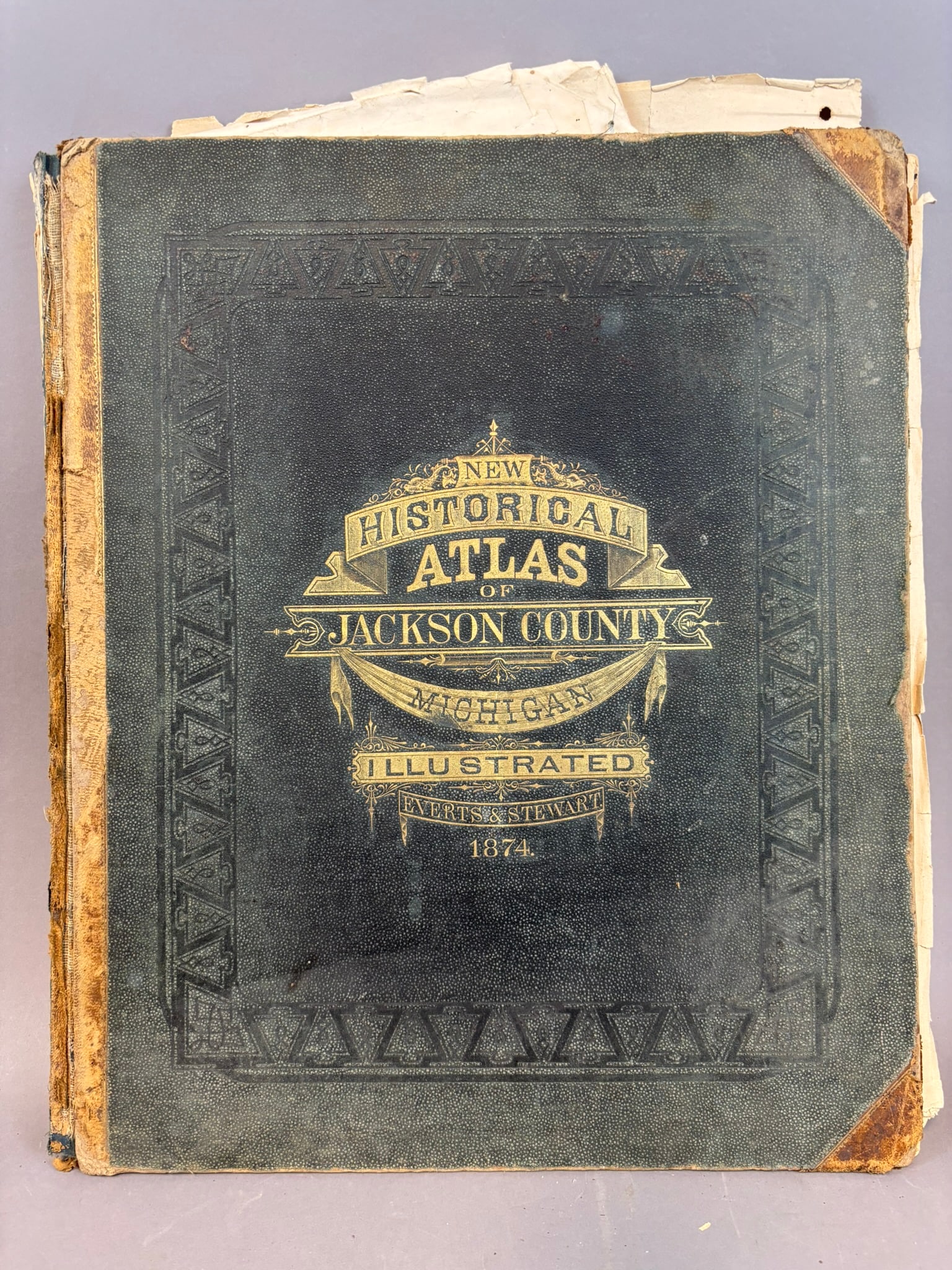
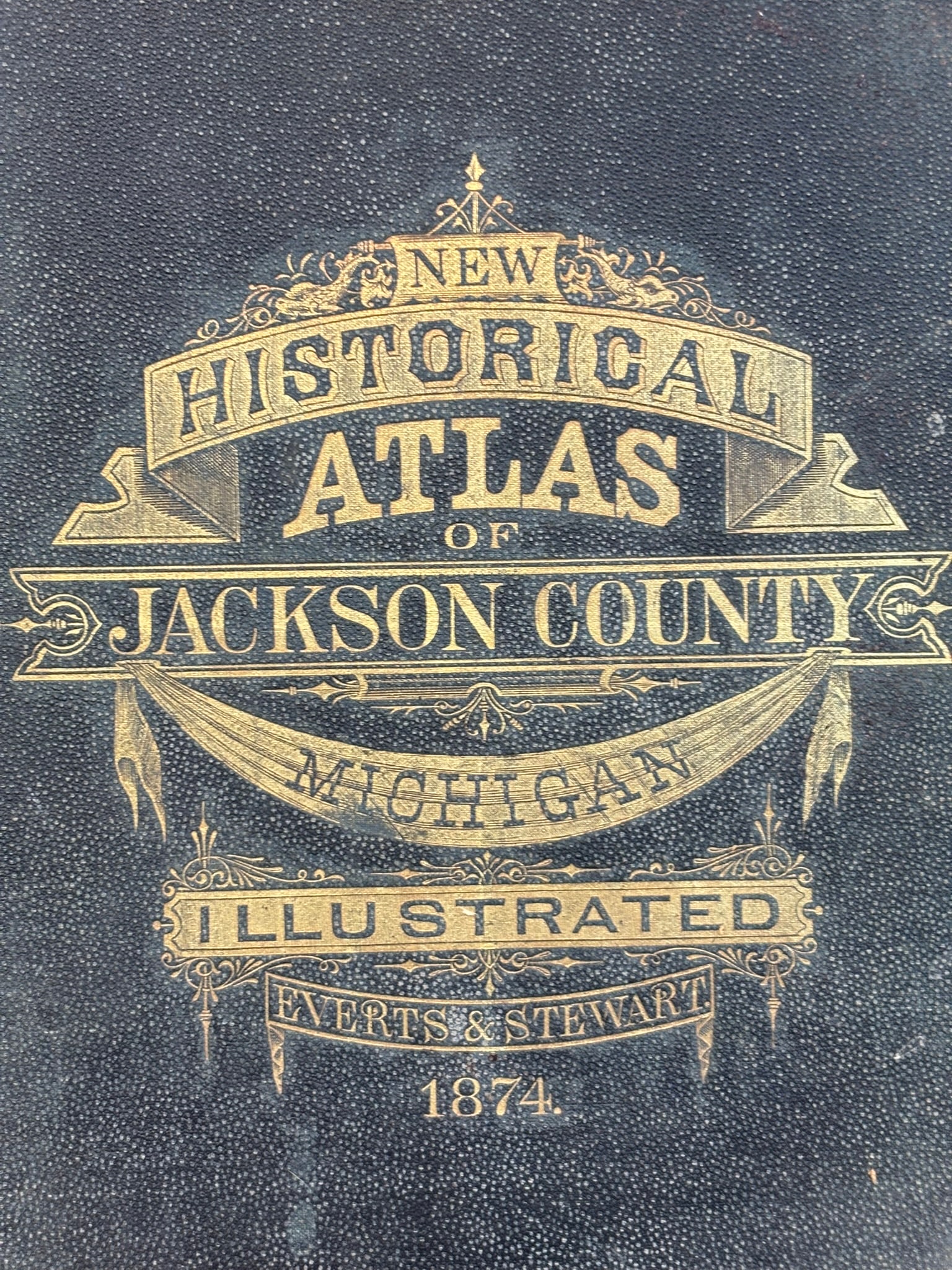
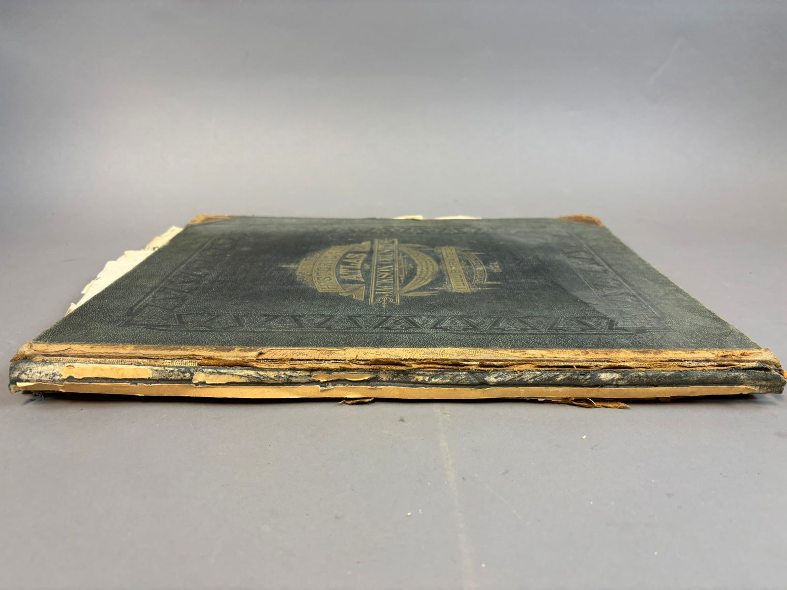
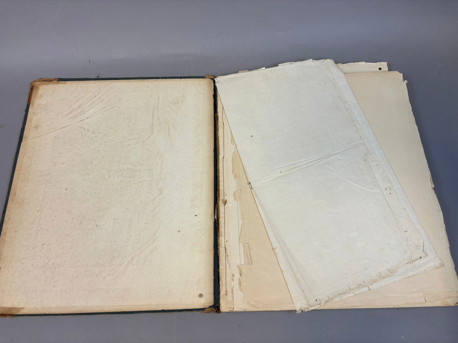
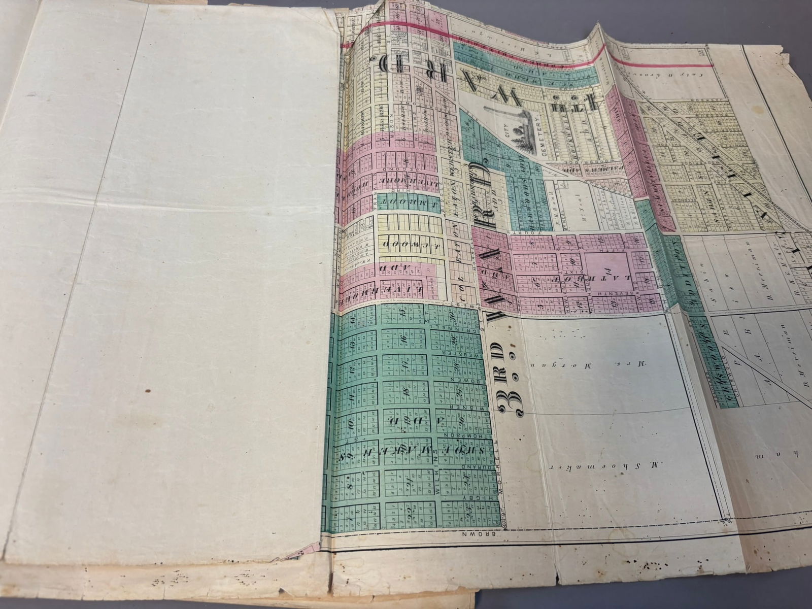
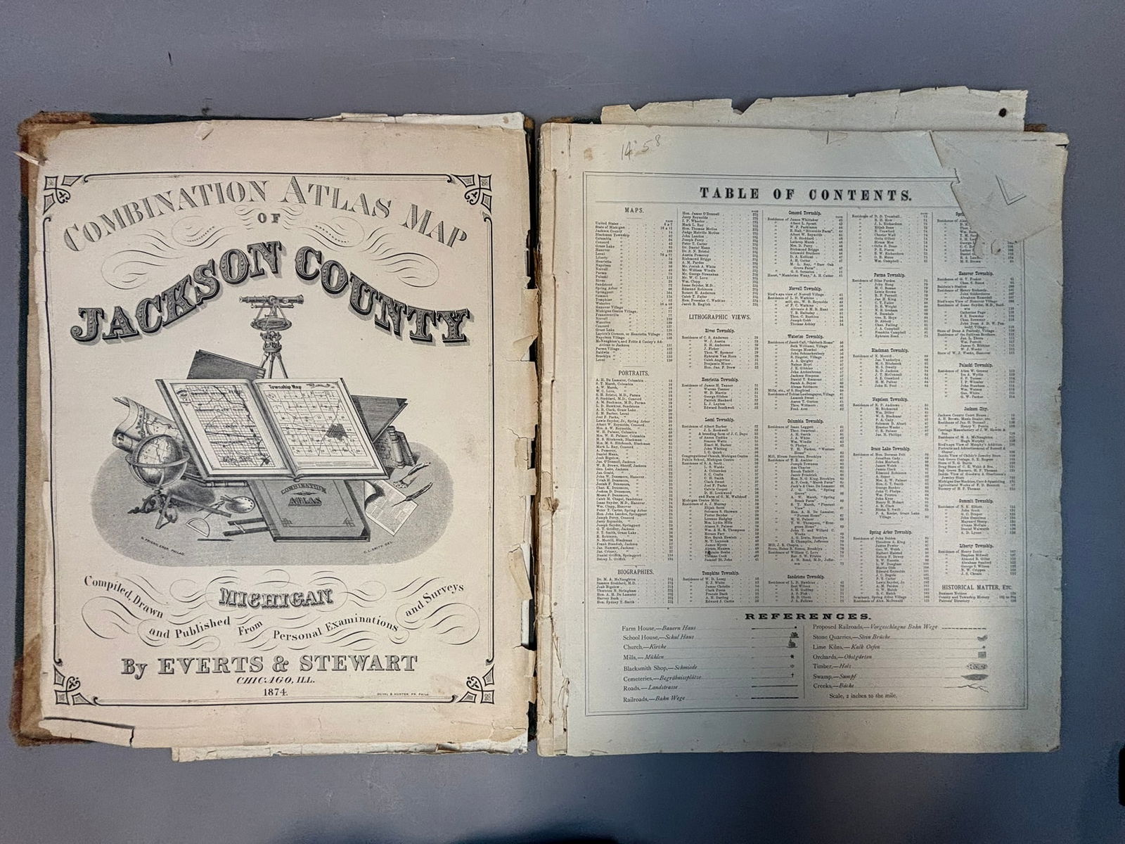
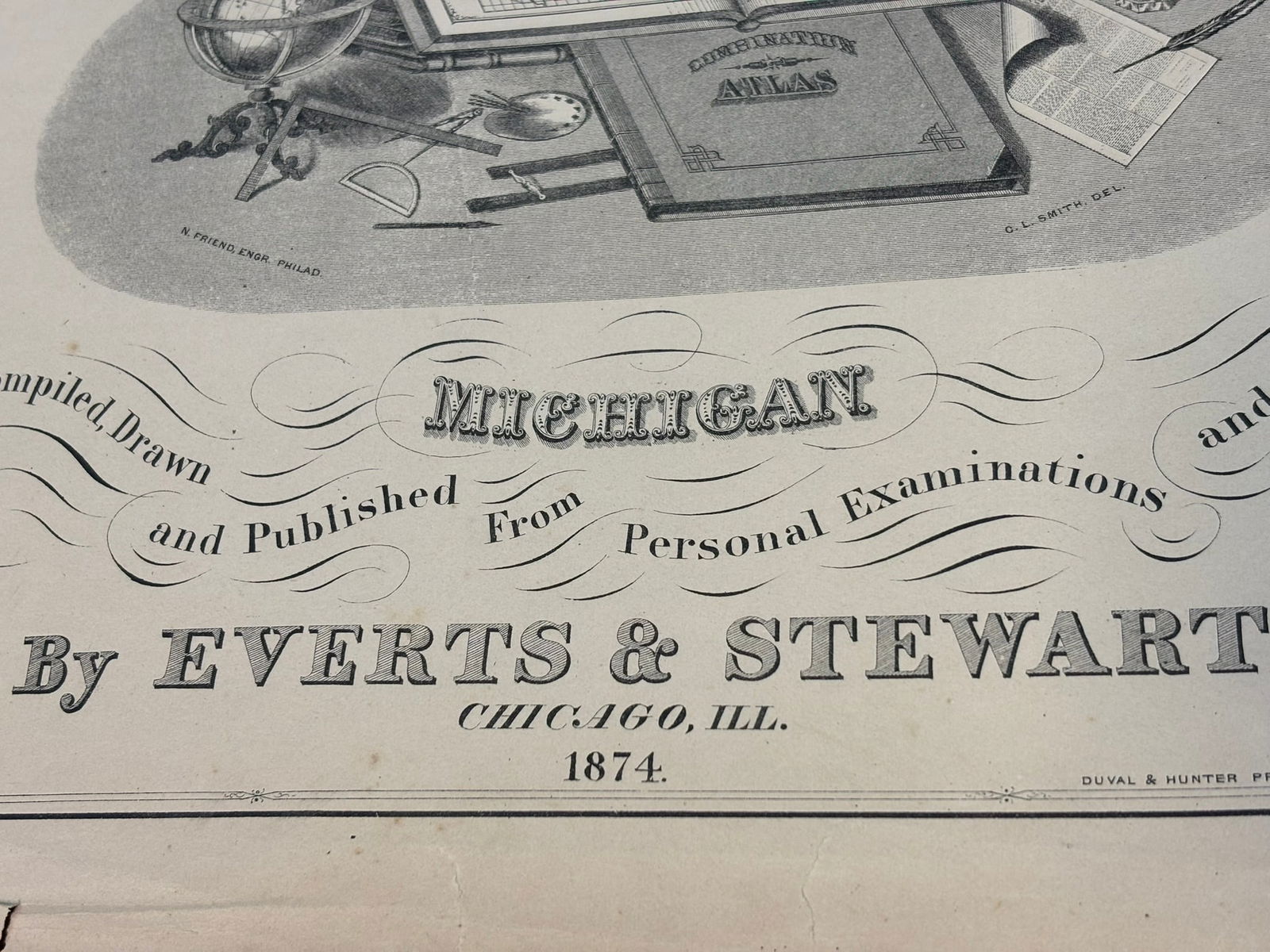
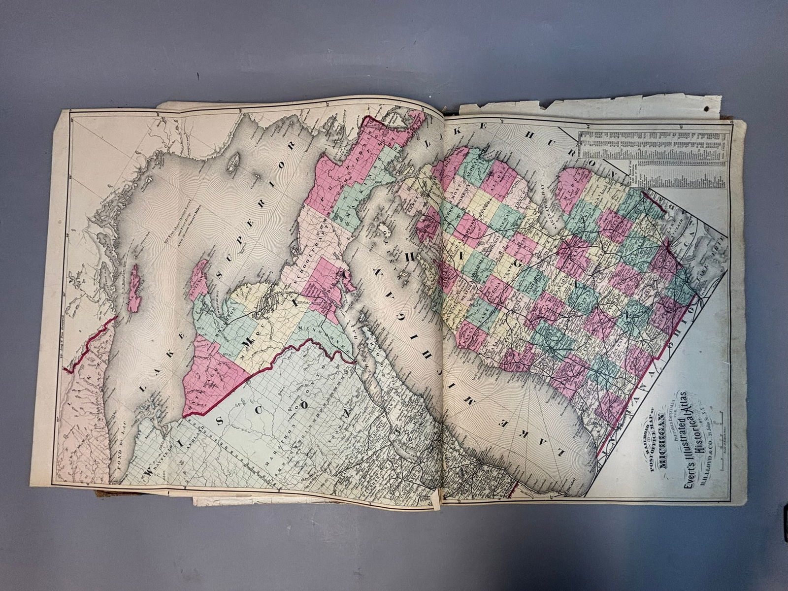
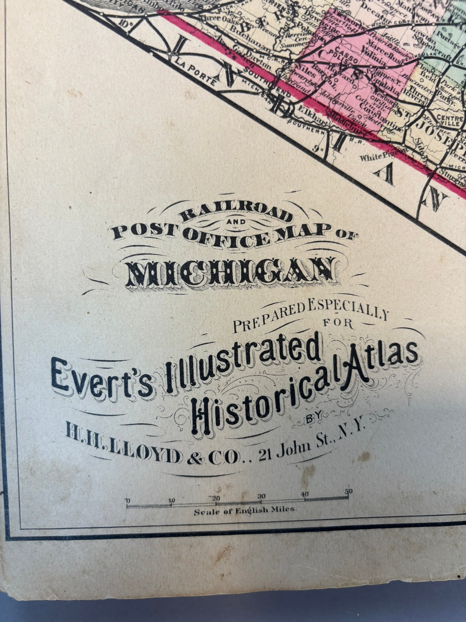
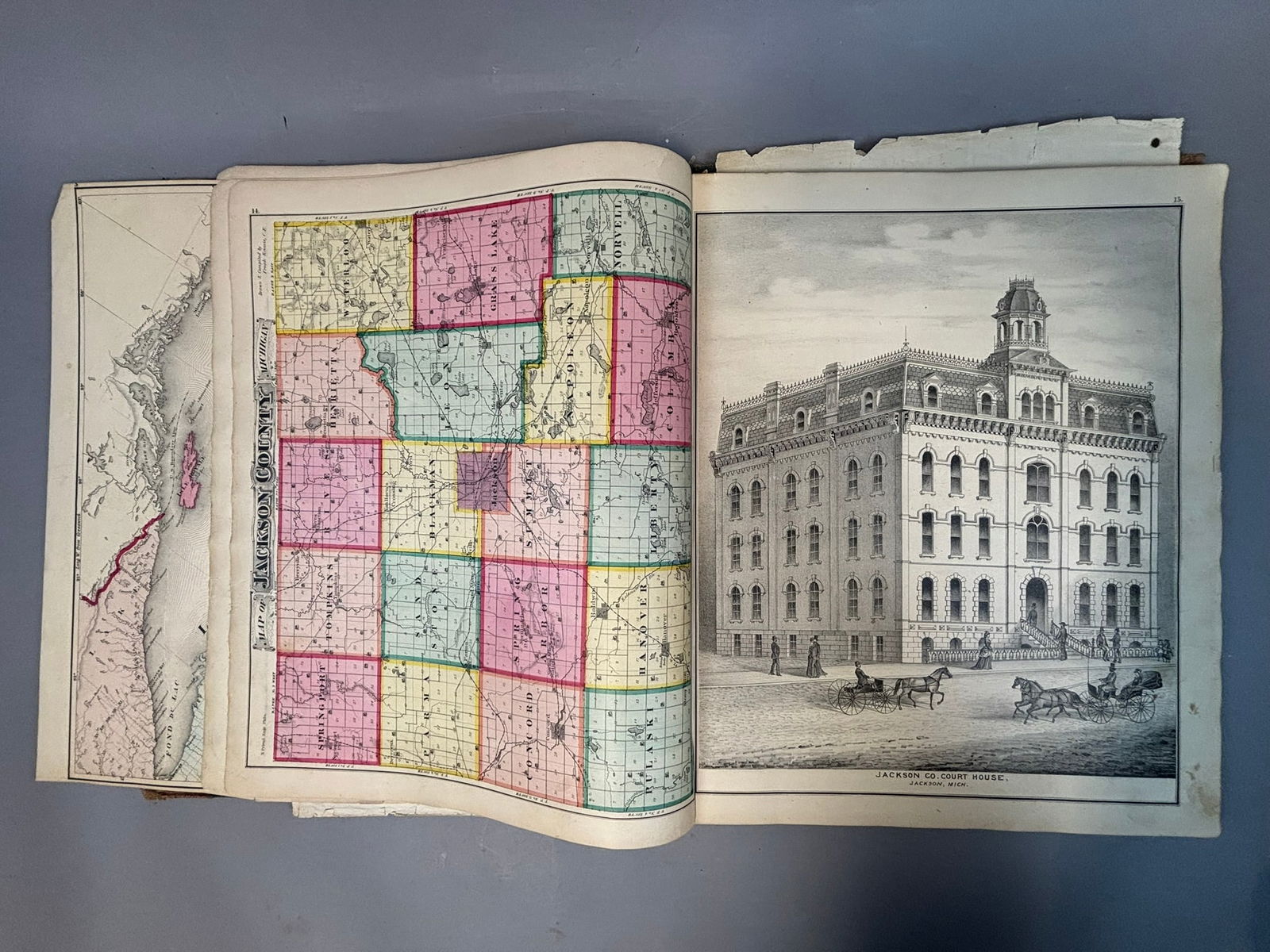
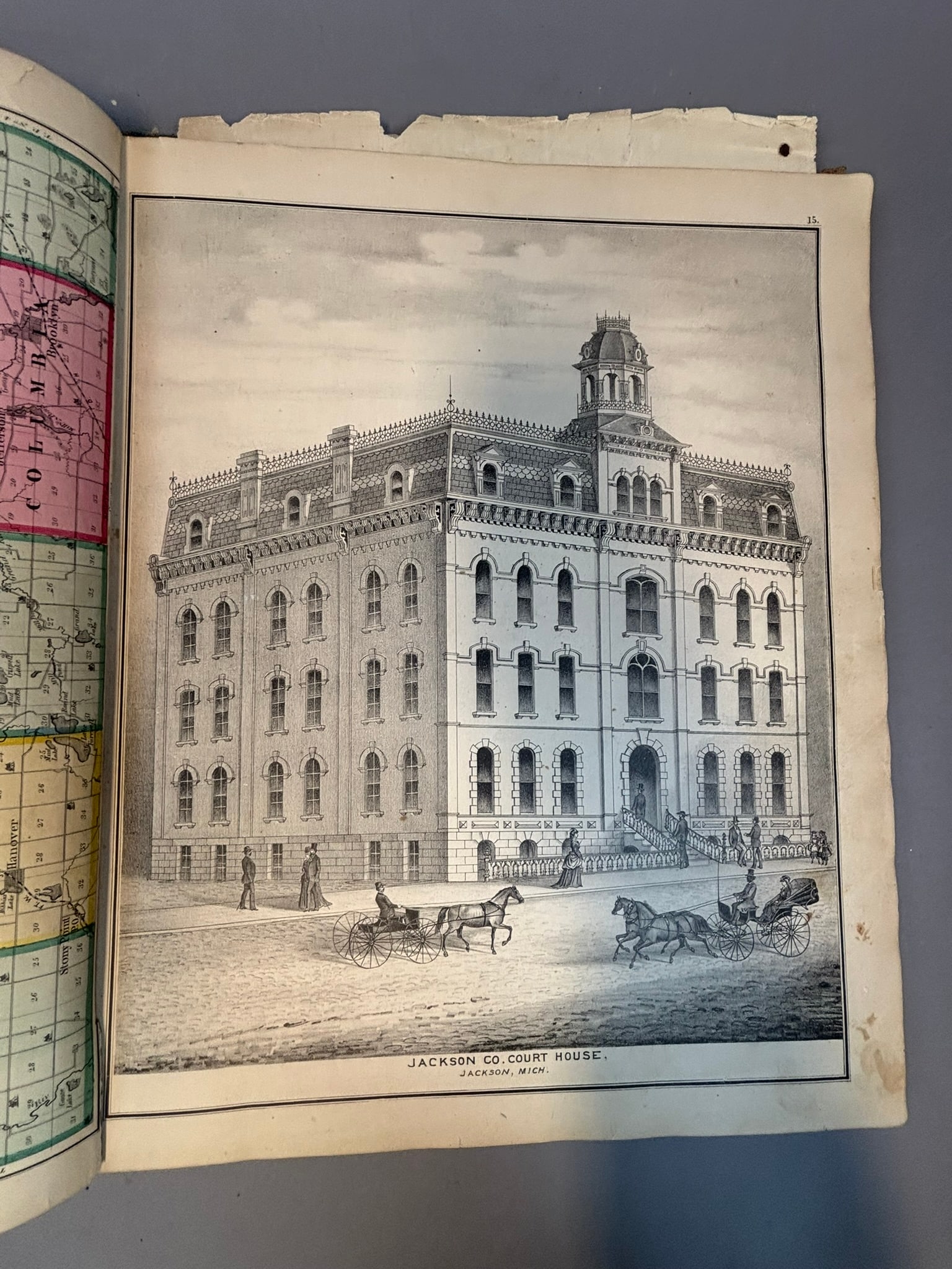
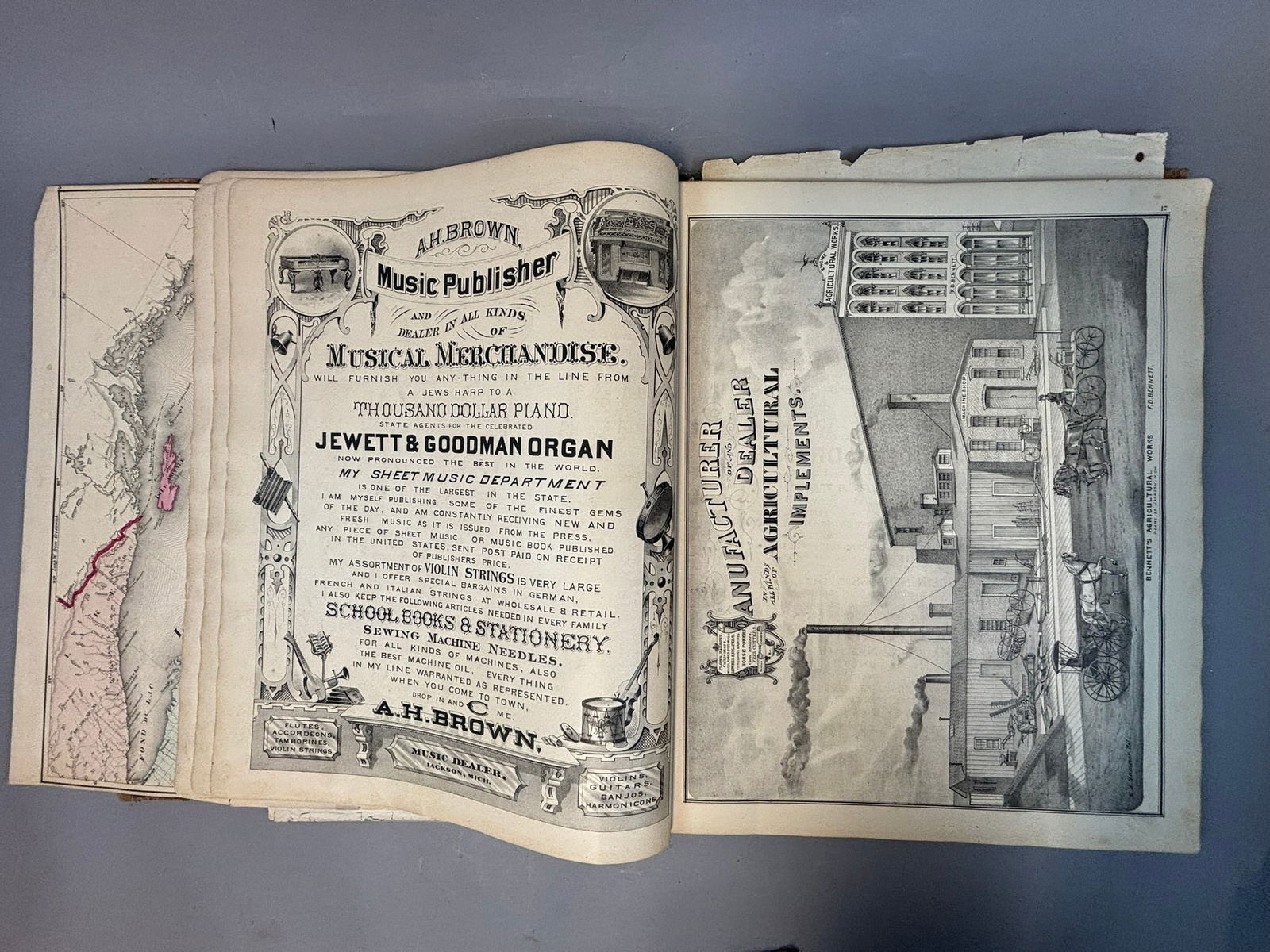
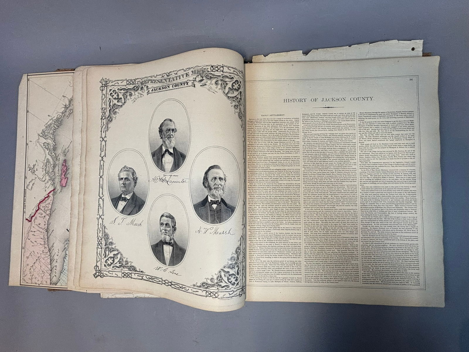
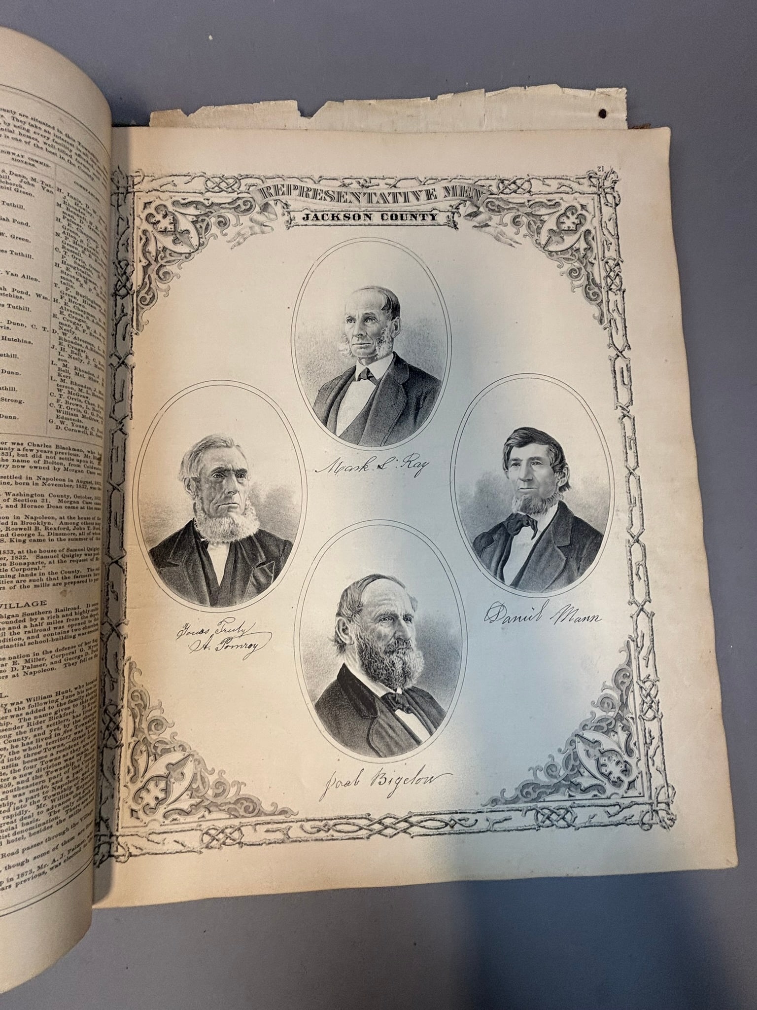
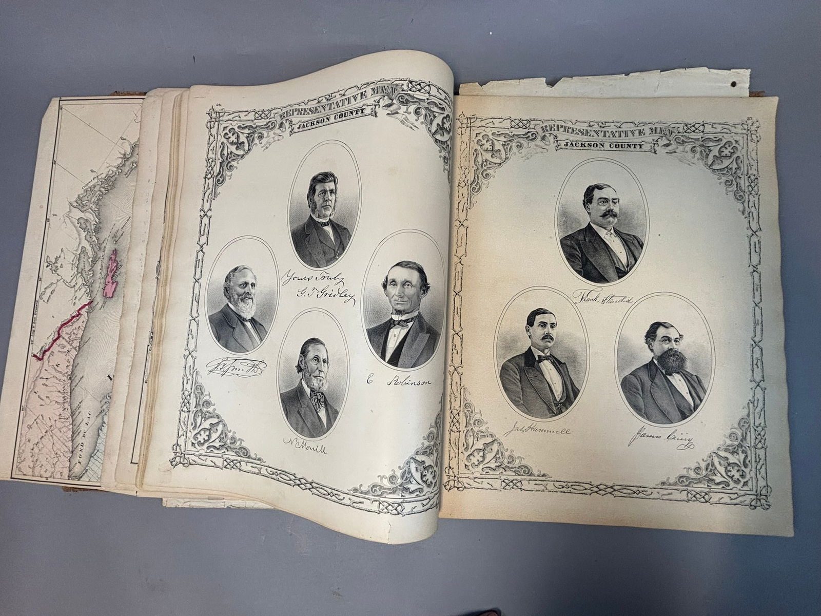
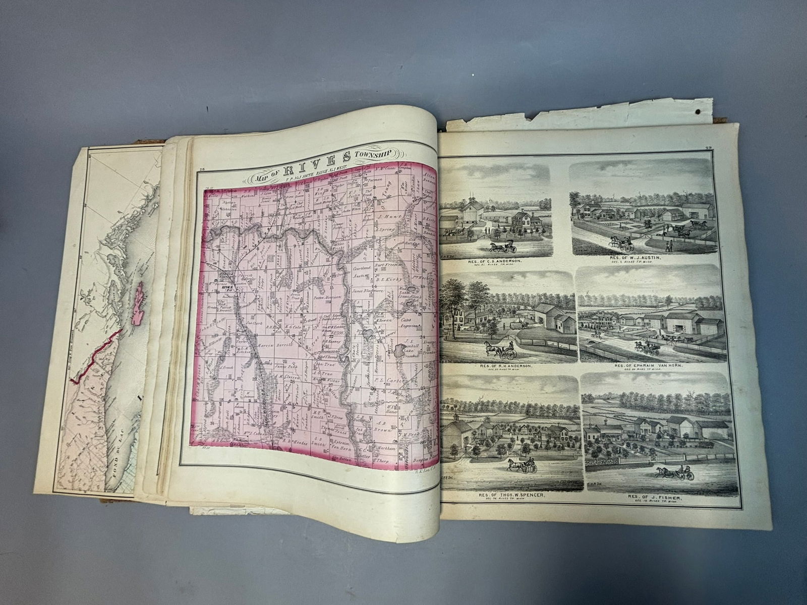
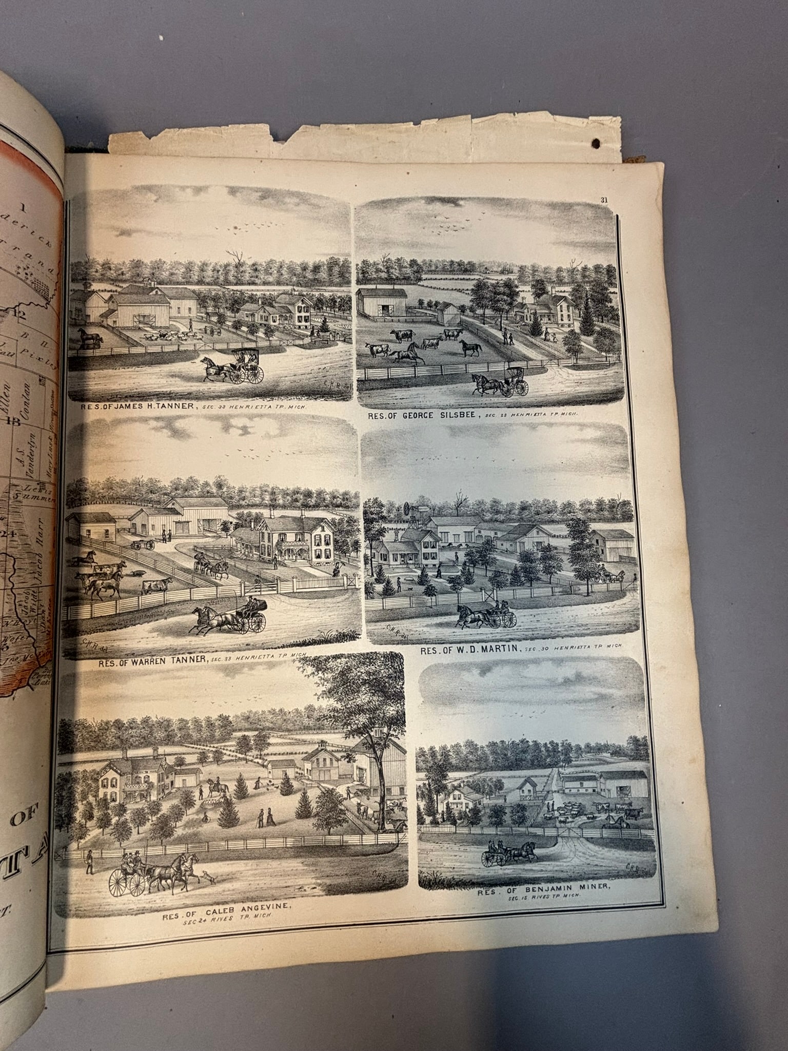
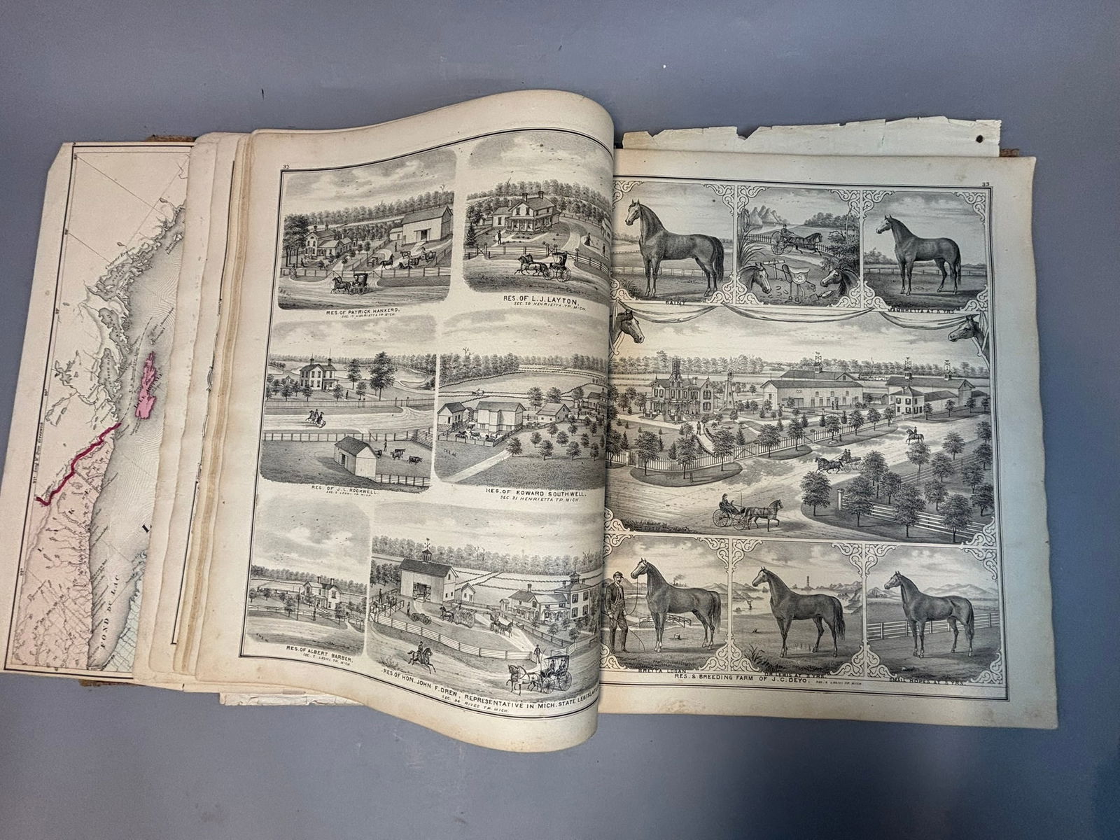
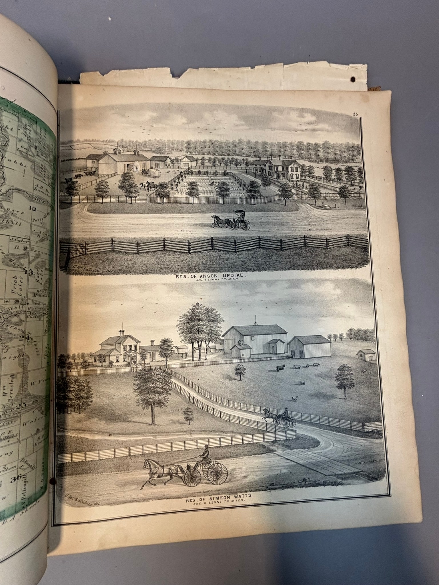
Large 1874 New Historical Atlas of Jackson County, Michigan Illustrated compiled, drawn, and published from personal examinations and surveys by Everts & Stewart of Chicago. The atlas contains detailed hand-colored township maps identifying landowners and property boundaries across Jackson County along with a large fold-out railroad and post office map of Michigan. The volume also includes engraved lithographic views of prominent residences, farms, and businesses, portrait plates of notable county residents, and illustrated plates such as the Jackson County Courthouse and other regional landmarks. Bound in original publisher’s cloth boards with gilt title to the cover. Condition shows heavy wear including detached and loose pages, edge losses, toning, and general binding deterioration consistent with age, though many of the detailed maps, lithographic views, and portraits remain present and visually strong. A highly desirable 19th century county atlas documenting land ownership, architecture, and the development of Jackson County, Michigan shortly after the Civil War era.
Share this lot: