
Art, Gold & Silver, Primitives & Rare Books
Lot 310B:
Description
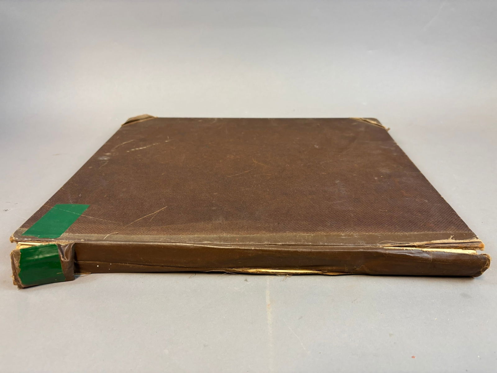
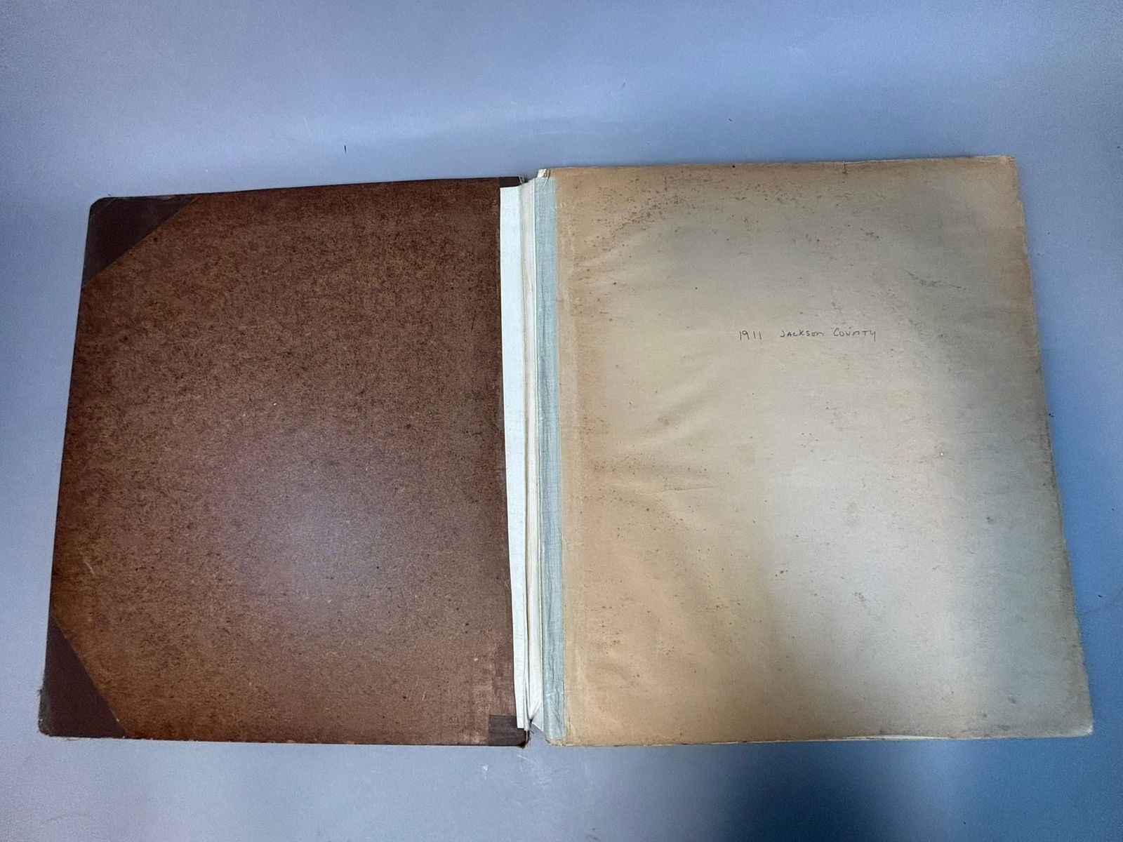
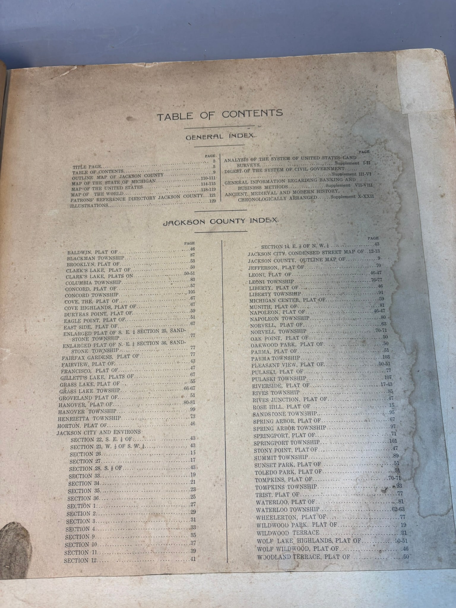
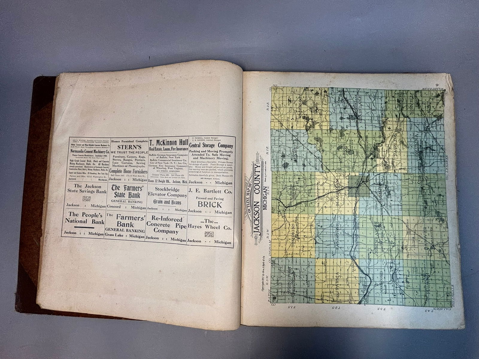
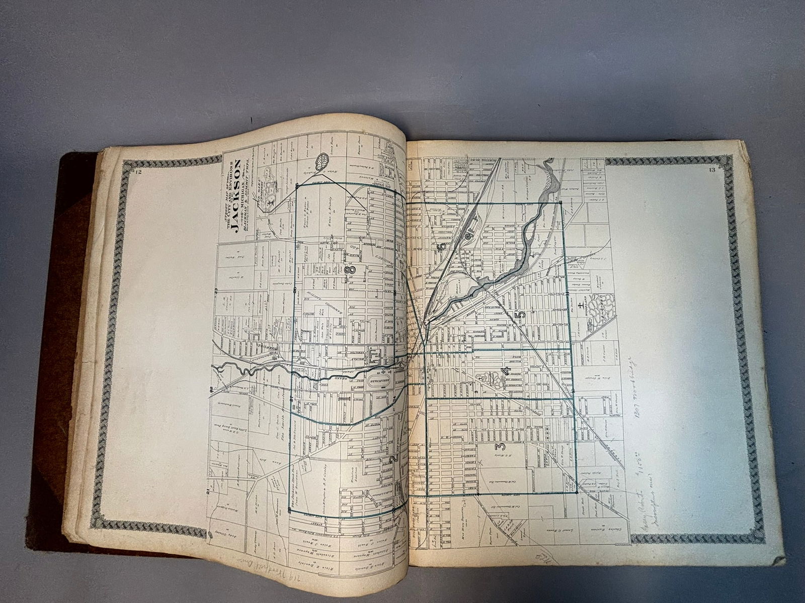
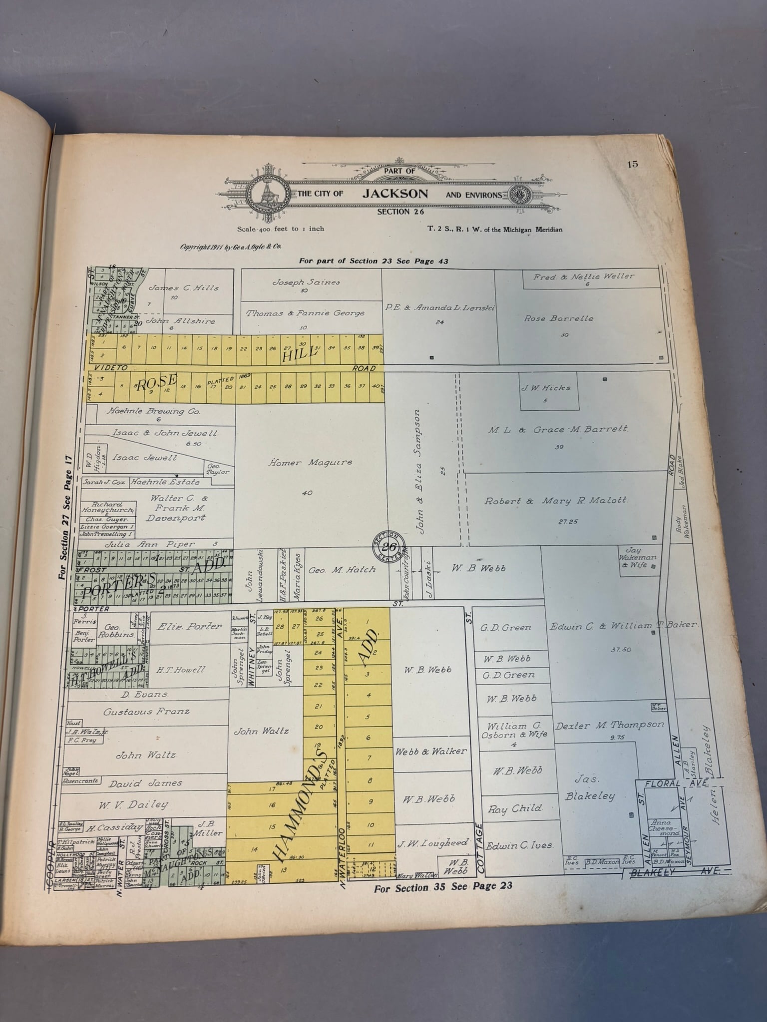
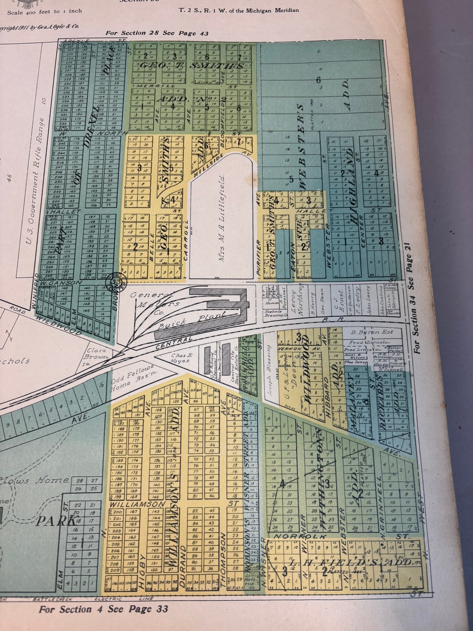
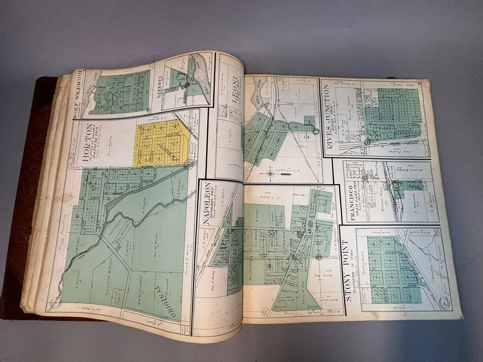
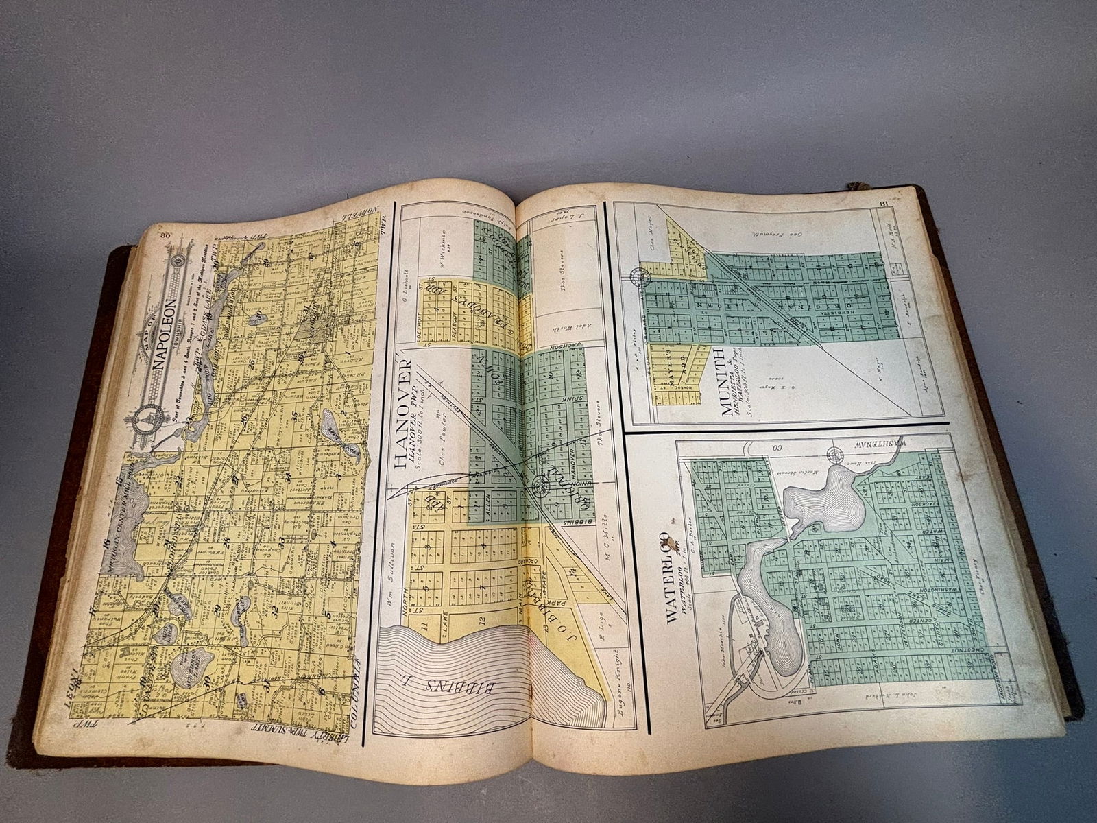
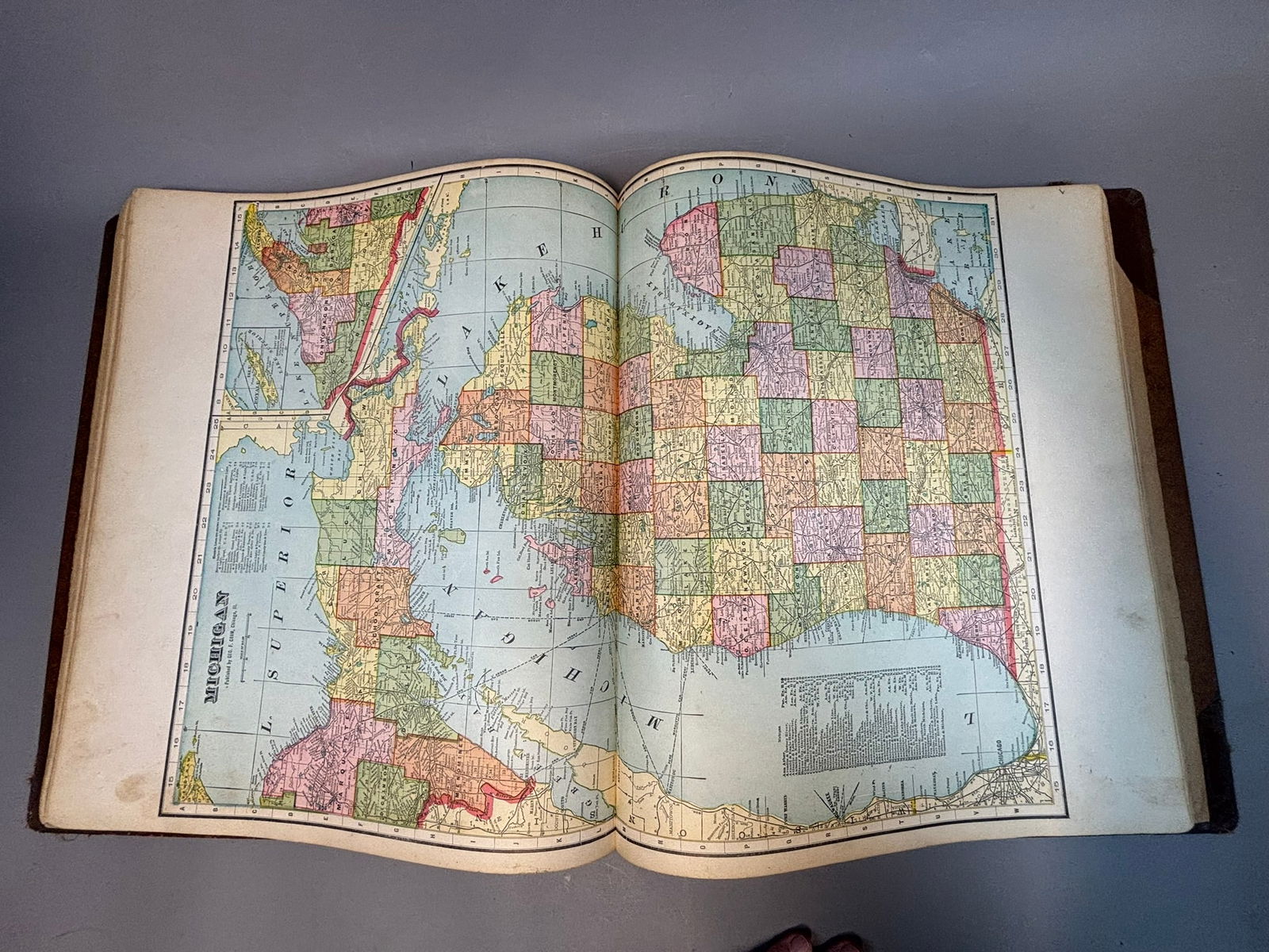
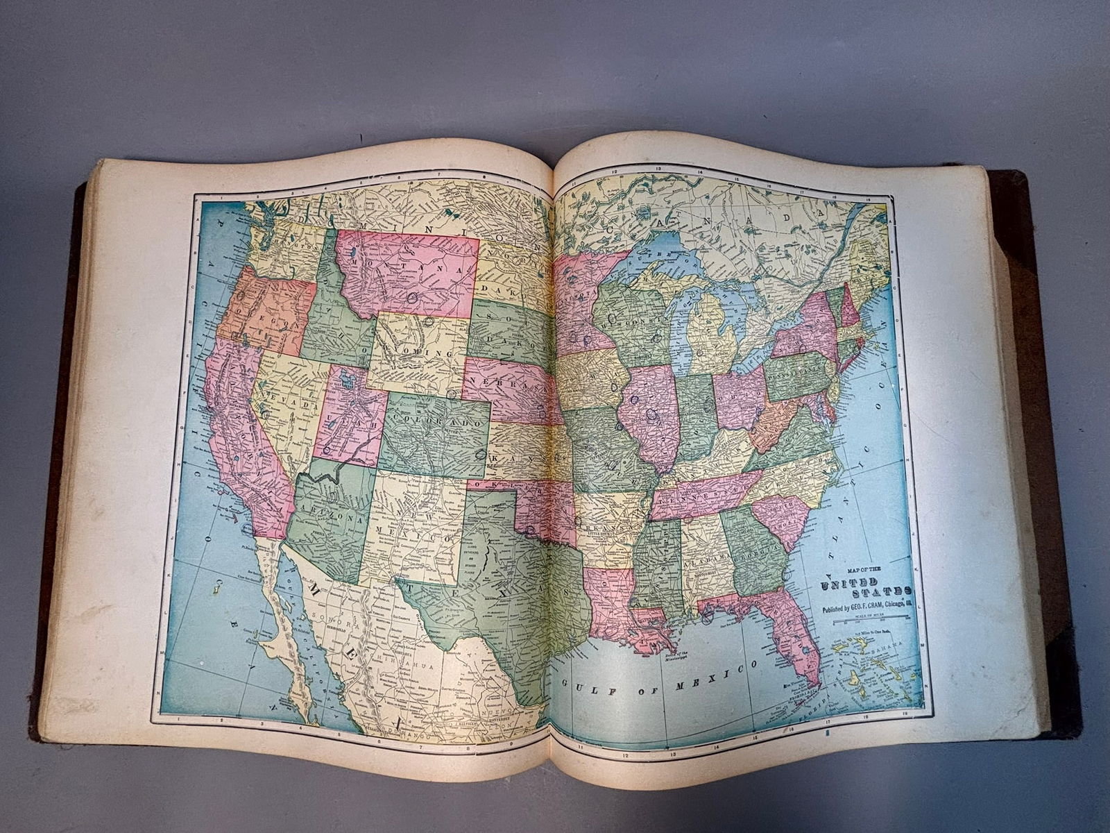
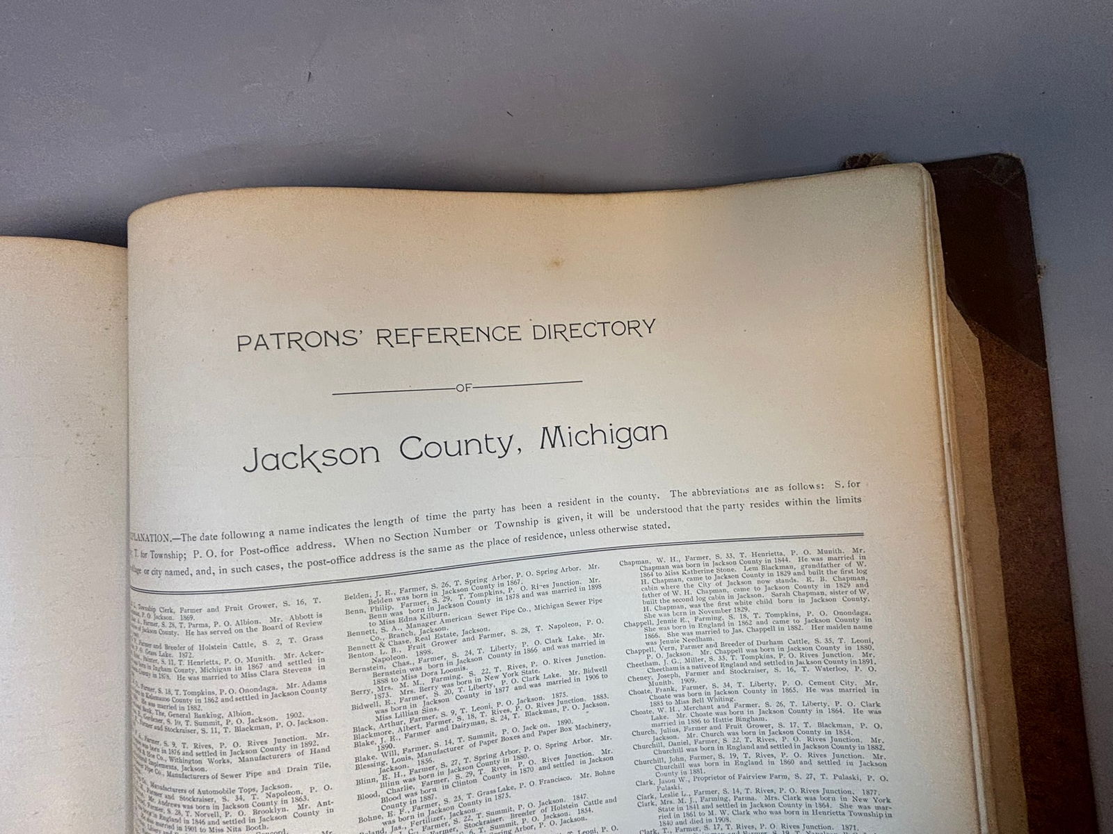
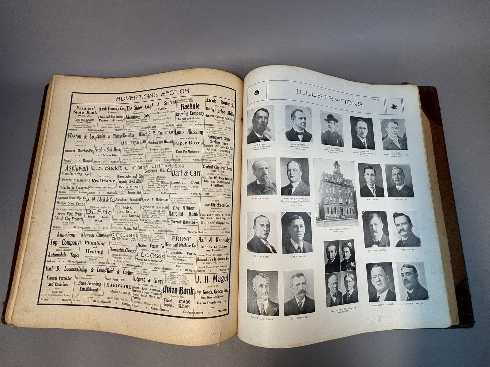
Large format early 20th century county atlas titled Standard Atlas of Jackson County Michigan, compiled and published by Geo. A. Ogle & Co., Chicago, circa 1911 as noted in period inscription. The atlas contains detailed township plat maps identifying landowners, property boundaries, railroads, roads, and city layouts throughout Jackson County including Jackson city and surrounding communities such as Napoleon, Hanover, and Rives Junction. Also included are advertising pages for local businesses, photographic portrait plates of prominent residents, and a patrons’ reference directory listing county landholders and citizens. Interior maps include hand-colored township plats and regional maps typical of early Midwestern land ownership atlases. Bound in original cloth boards with leather spine, measuring approximately 15.5 x 18 inches. Condition shows heavy wear with separation at the spine, edge losses, tape reinforcement, and general age toning, though the majority of interior maps remain present and readable. A desirable regional historical reference documenting land ownership and development in Jackson County, Michigan during the early 1900s.
Share this lot: