
Art, Gold & Silver, Primitives & Rare Books
Lot 302B:
Description
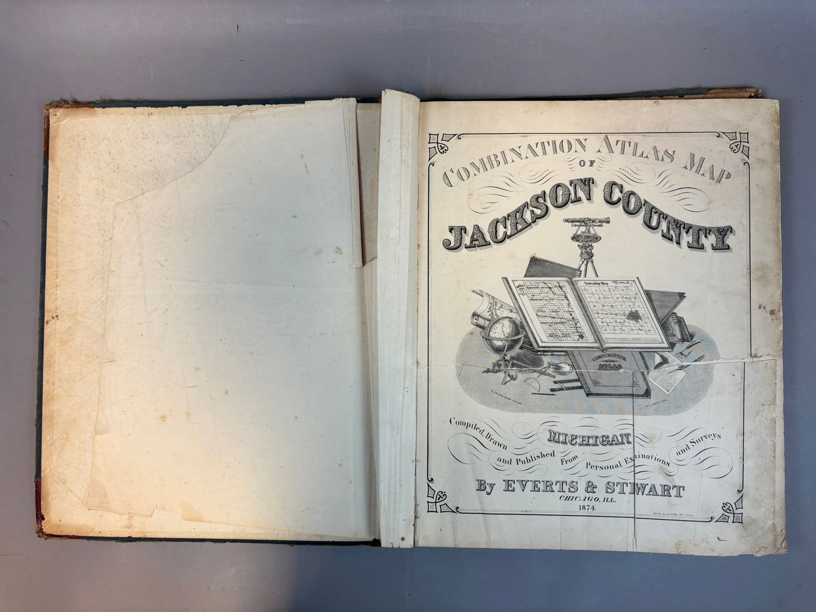
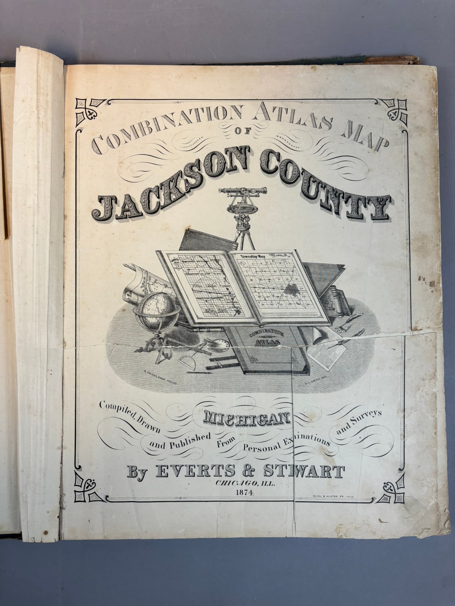
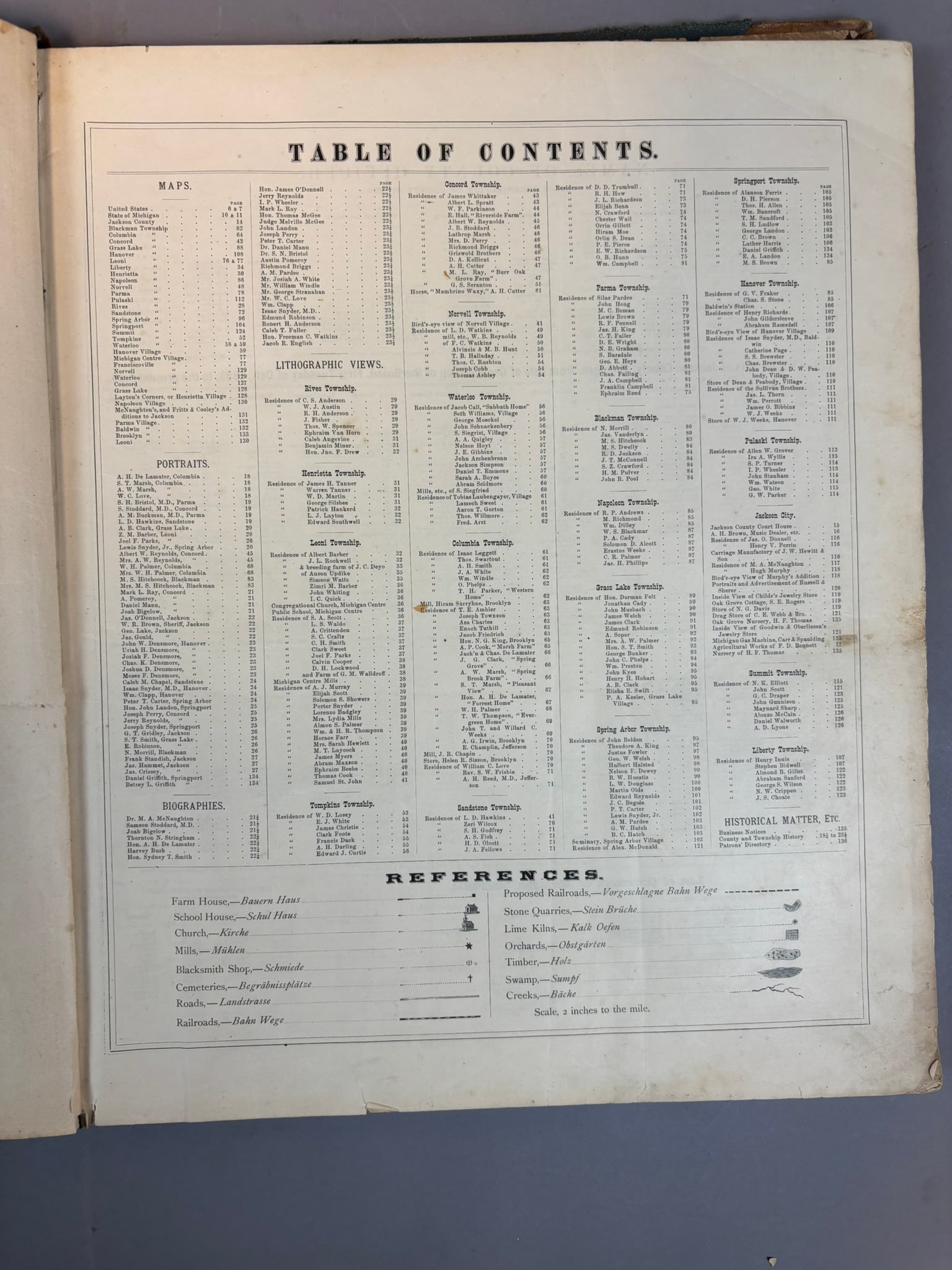
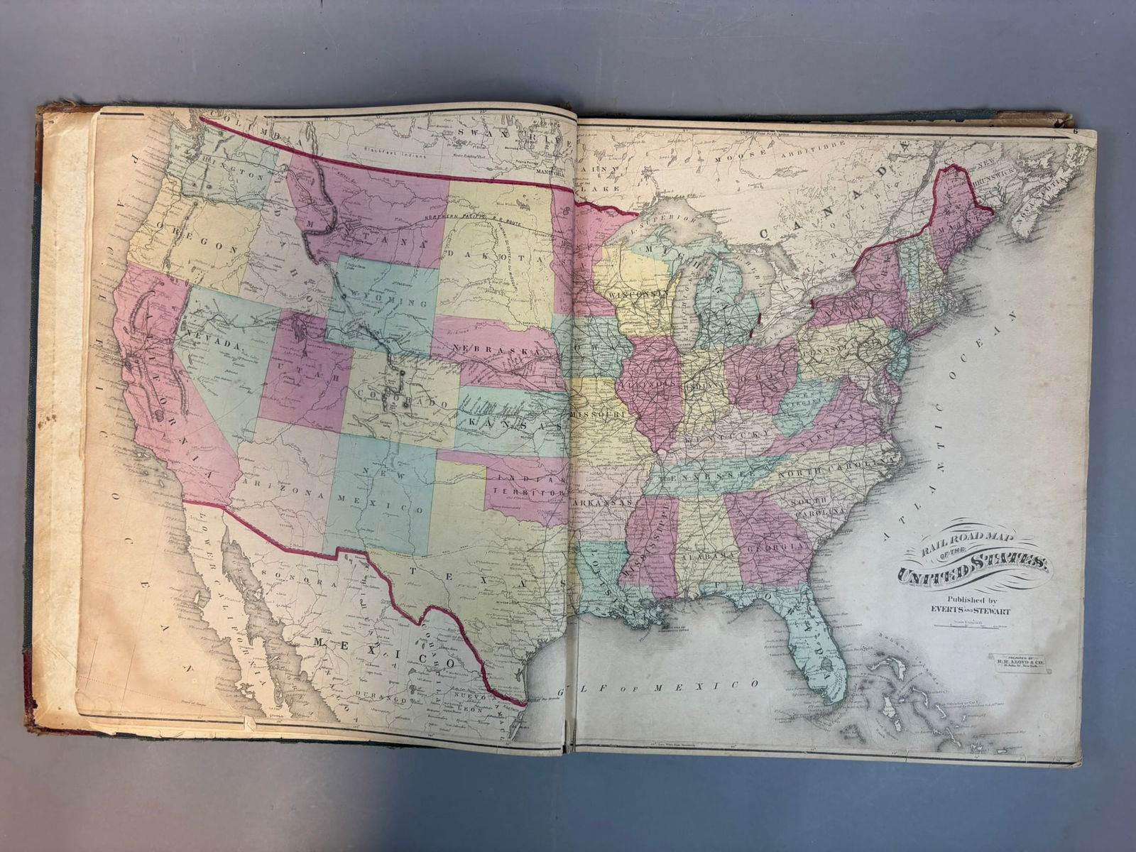
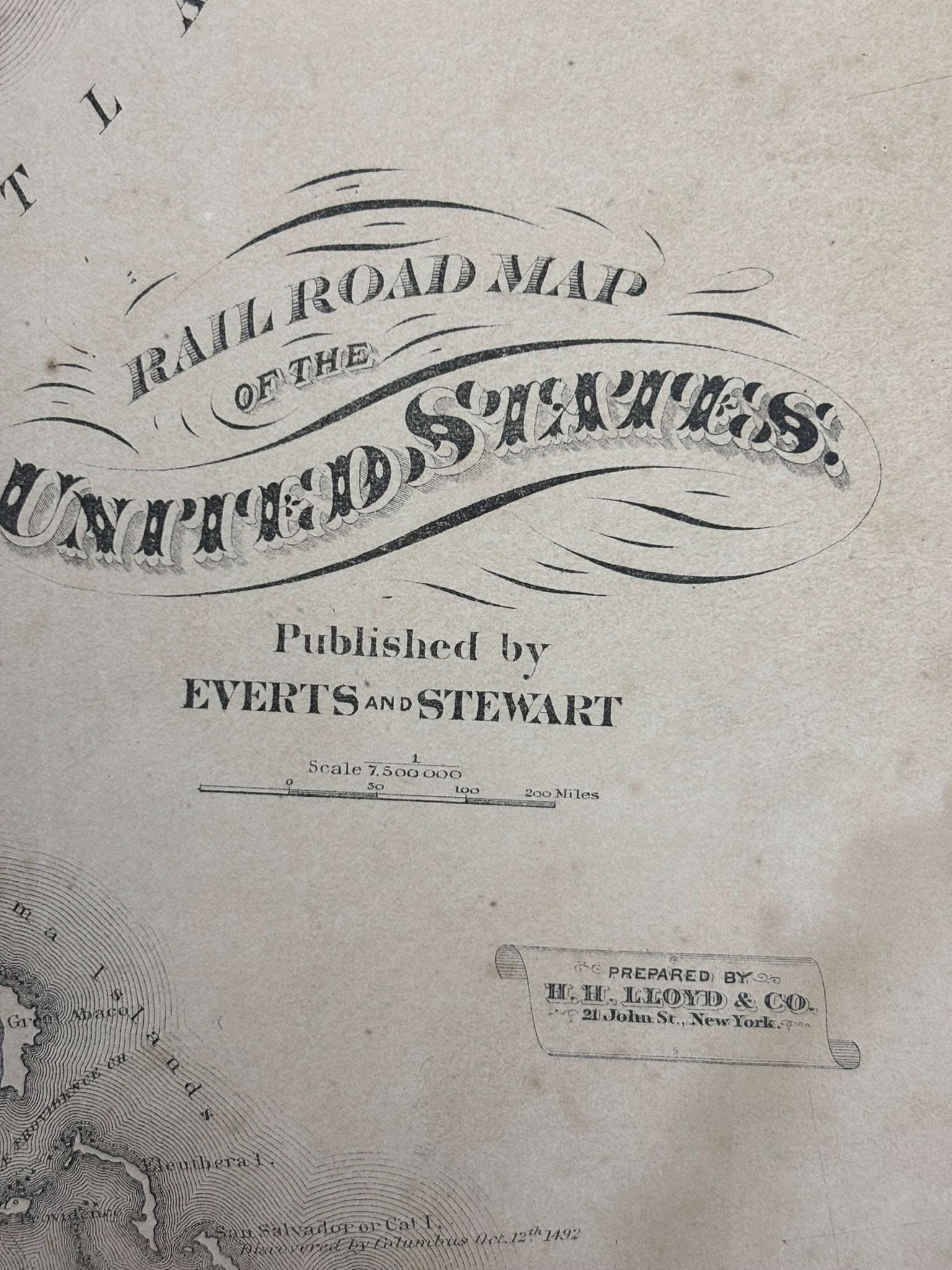
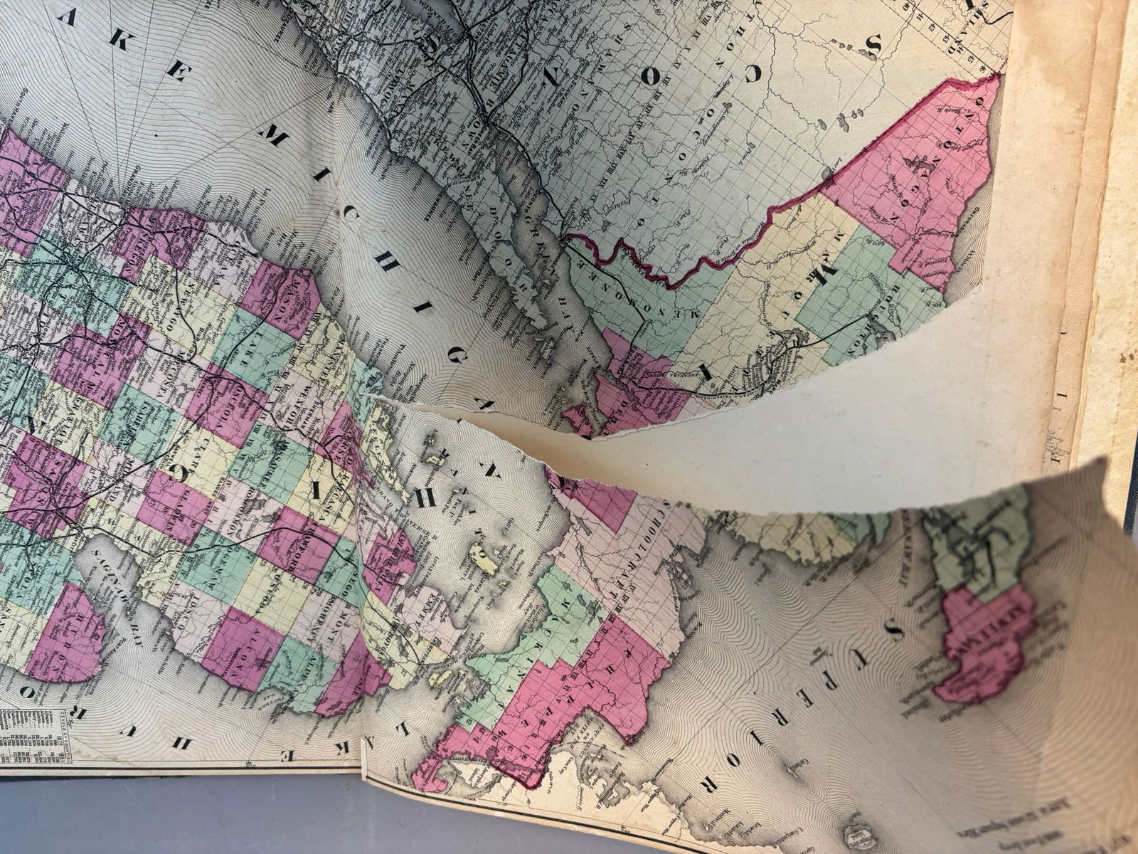
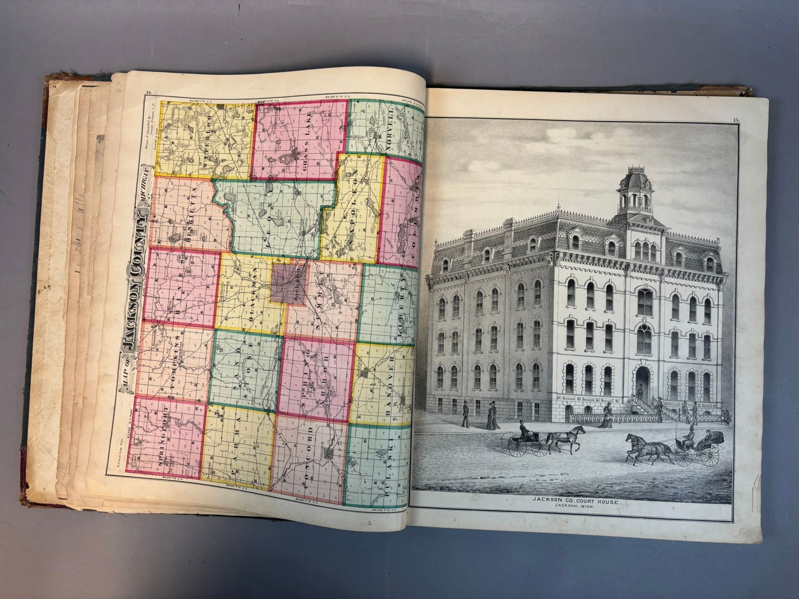
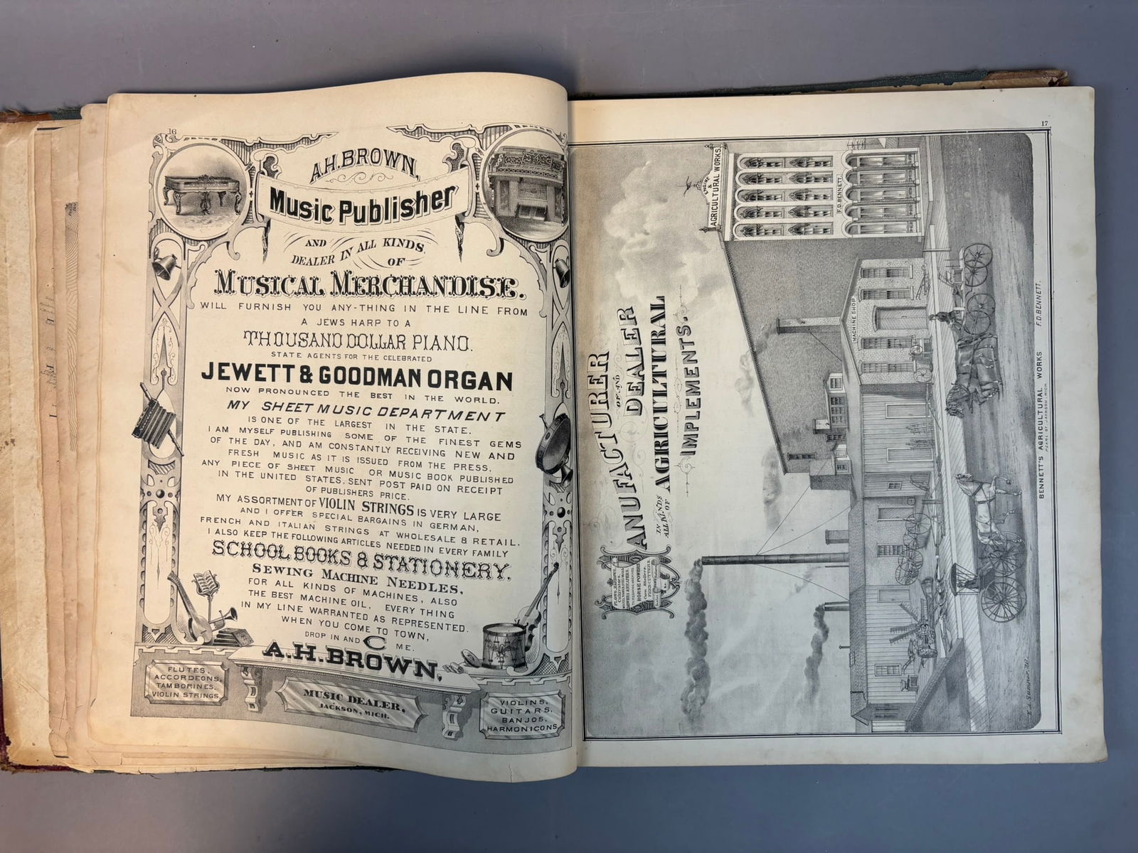
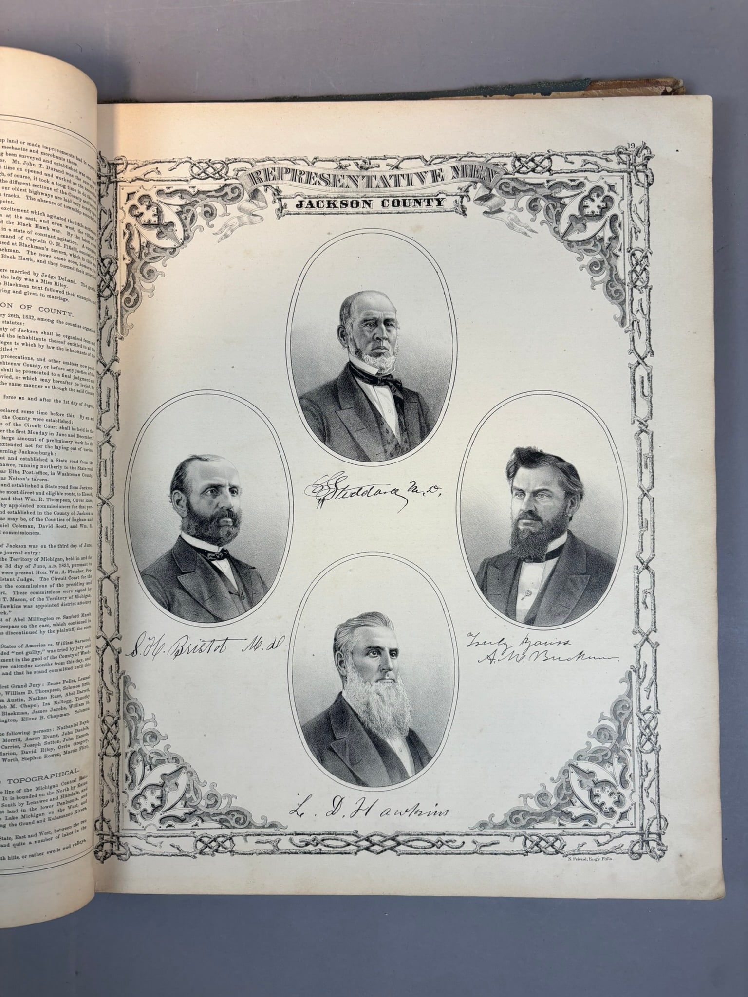
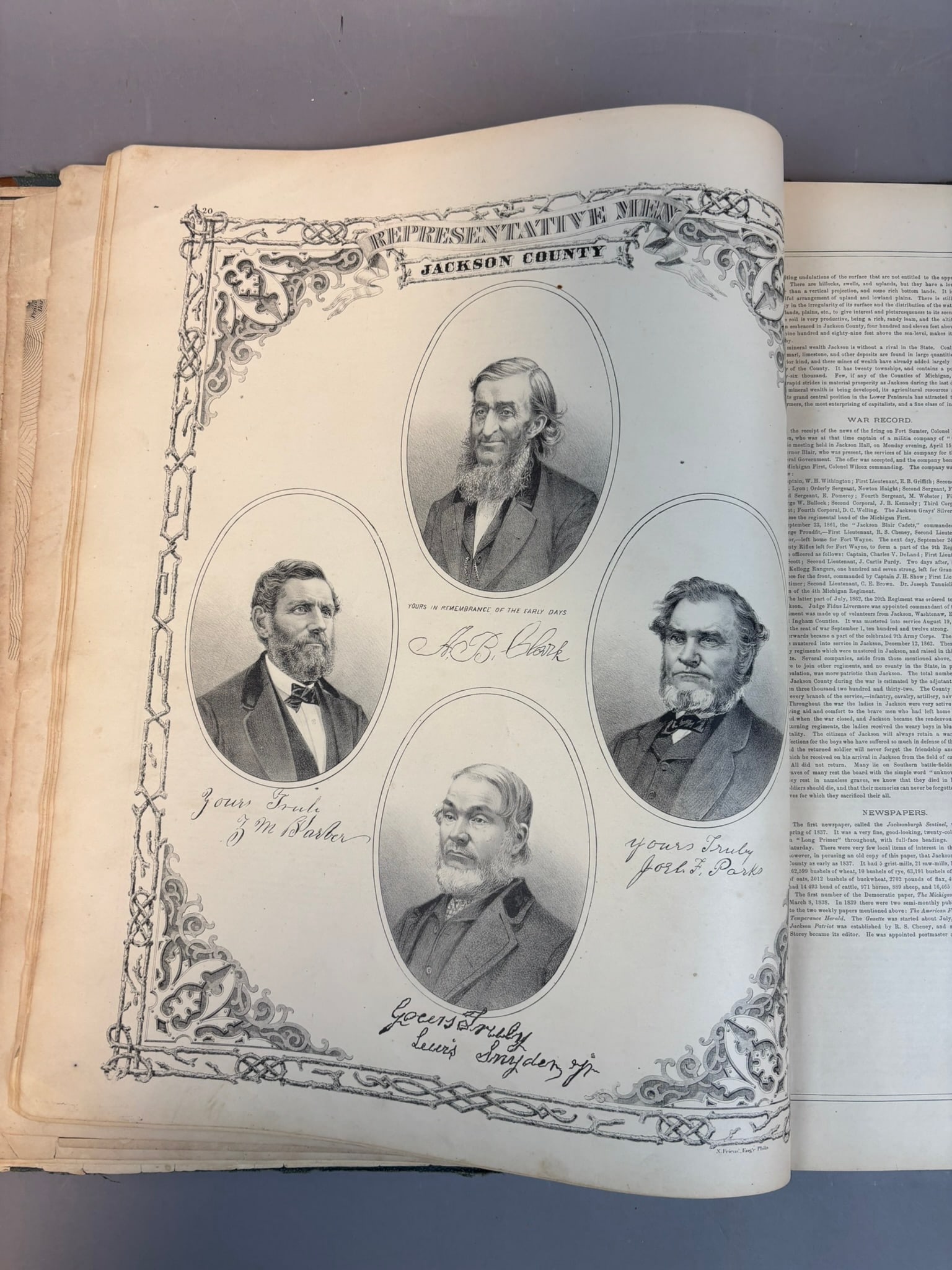
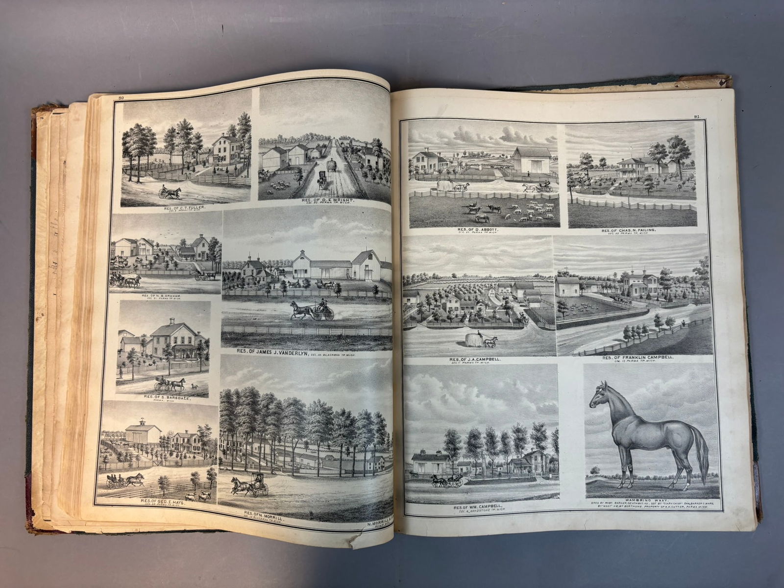
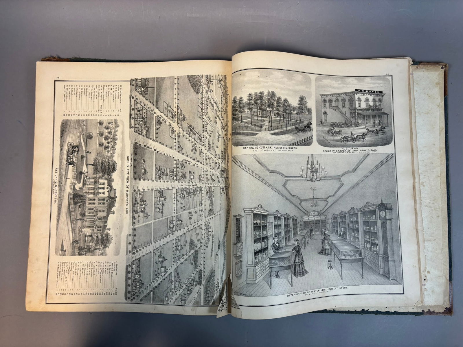
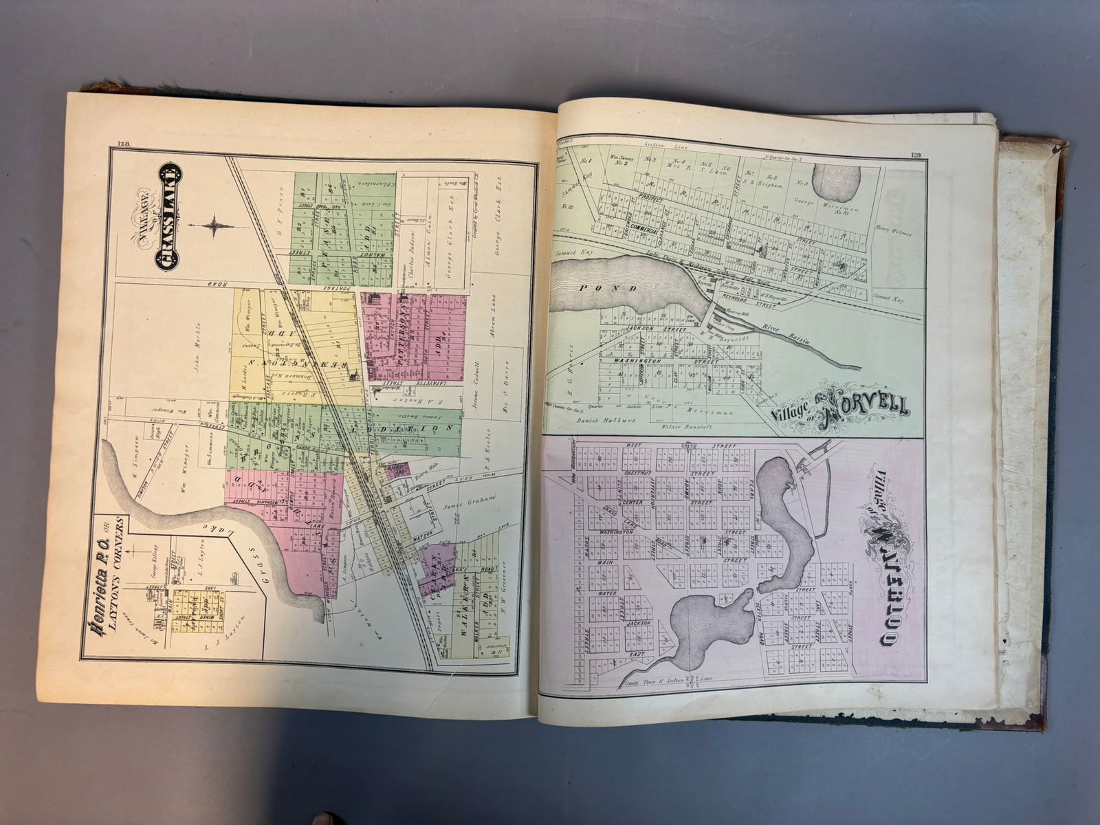
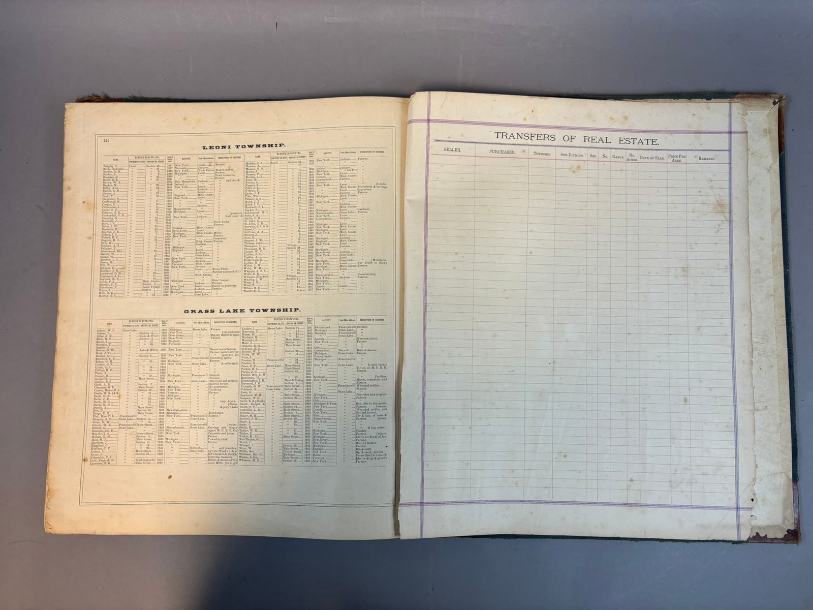
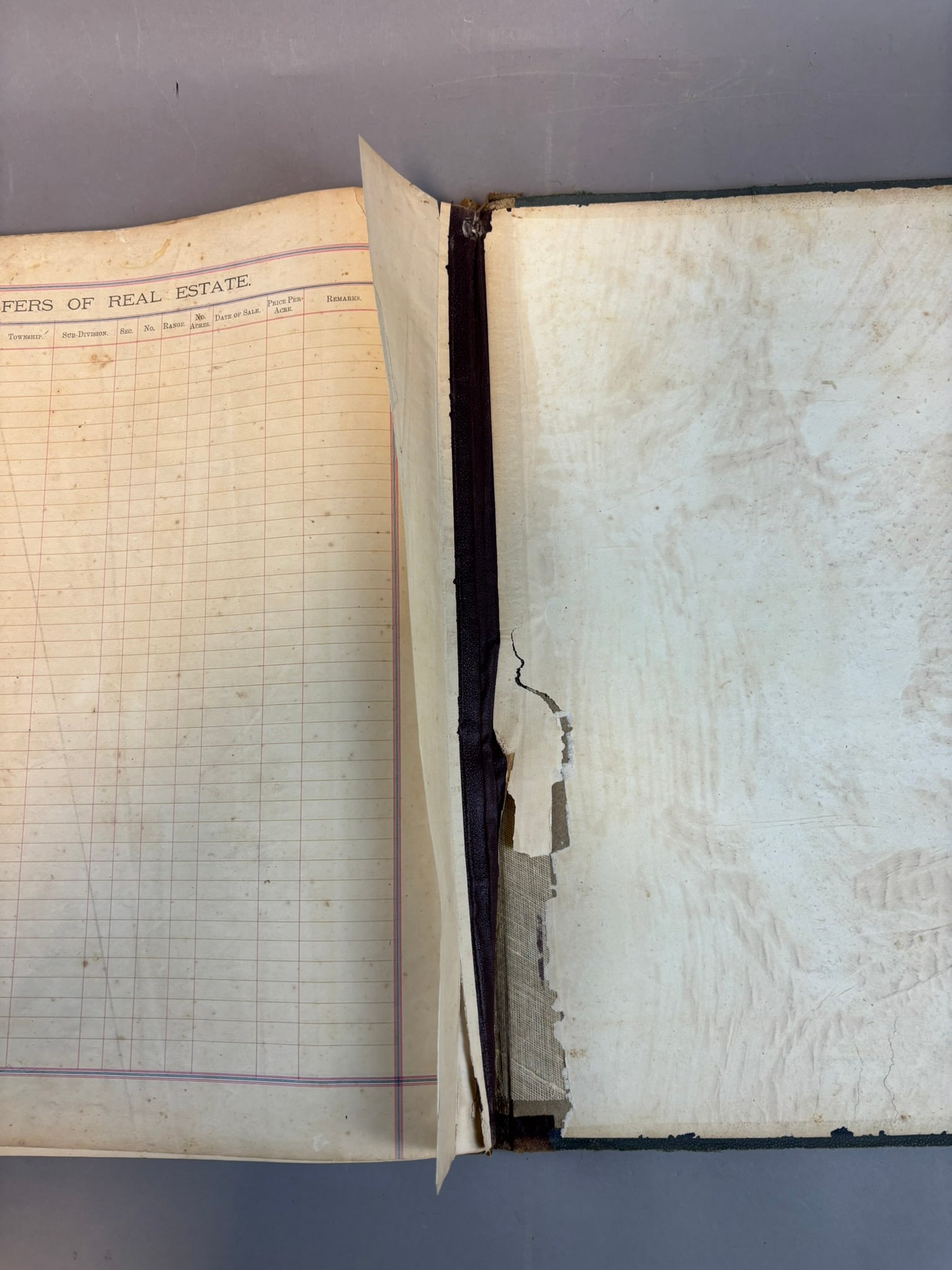
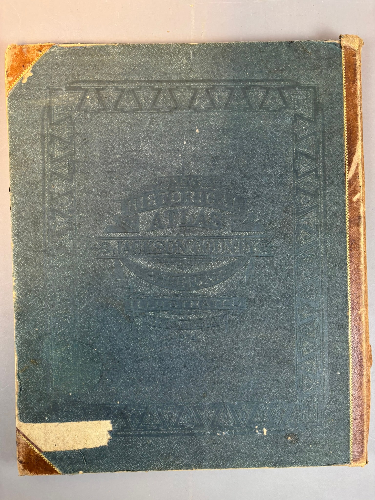
1874 Combination Atlas Map of Jackson County, Michigan compiled, drawn, and published from personal examinations and surveys by Everts & Stewart, Chicago. Large illustrated county atlas containing detailed township maps, village plans, lithographic views of residences and businesses, portraits of prominent citizens, and a fold-out railroad map of the United States. Plates include engraved views such as the Jackson County Courthouse, local farms and estates, commercial buildings, and interior business scenes including a jewelry store interior. Township maps identify landowners and property boundaries across Jackson County communities including areas such as Norvell, Napoleon, Grass Lake, and surrounding townships. Bound in original publisher’s cloth boards titled Historical Atlas Jackson County Michigan Illustrated 1874. Condition shows heavy wear consistent with age including cover wear, edge losses, internal toning and staining, tears, and damage to several pages including the large fold-out map, though many plates and maps remain present and visually strong. A desirable and highly collectible 19th century Michigan county atlas documenting land ownership, architecture, and local history shortly after the Civil War period.
Share this lot: