
Art, Gold & Silver, Primitives & Rare Books
Lot 268:
Description
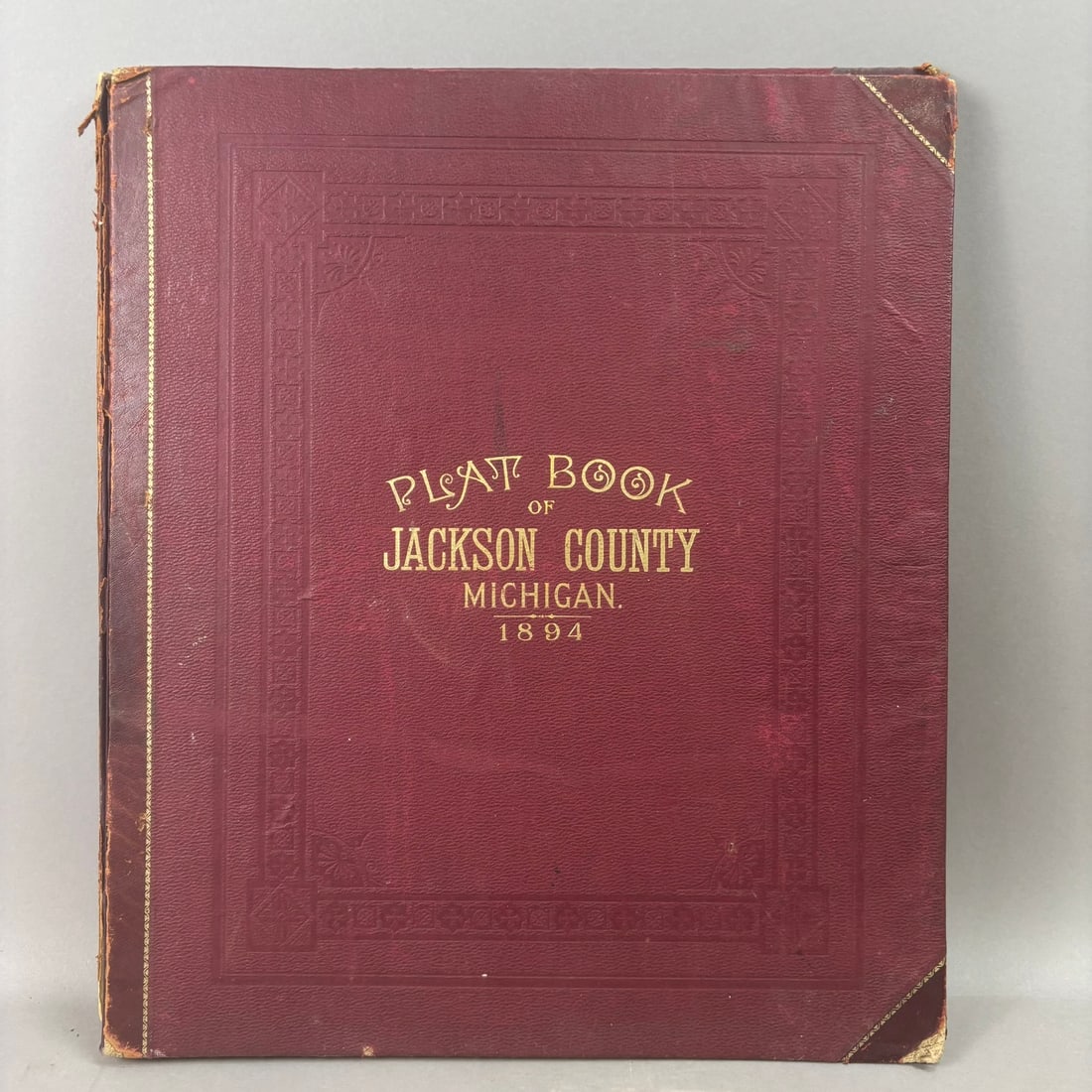
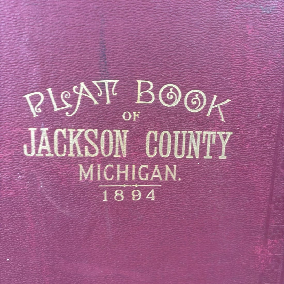
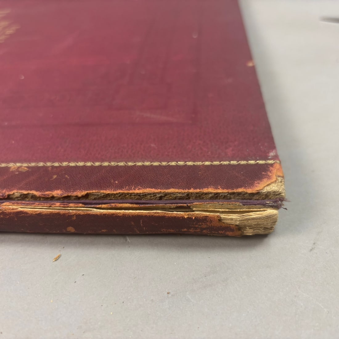
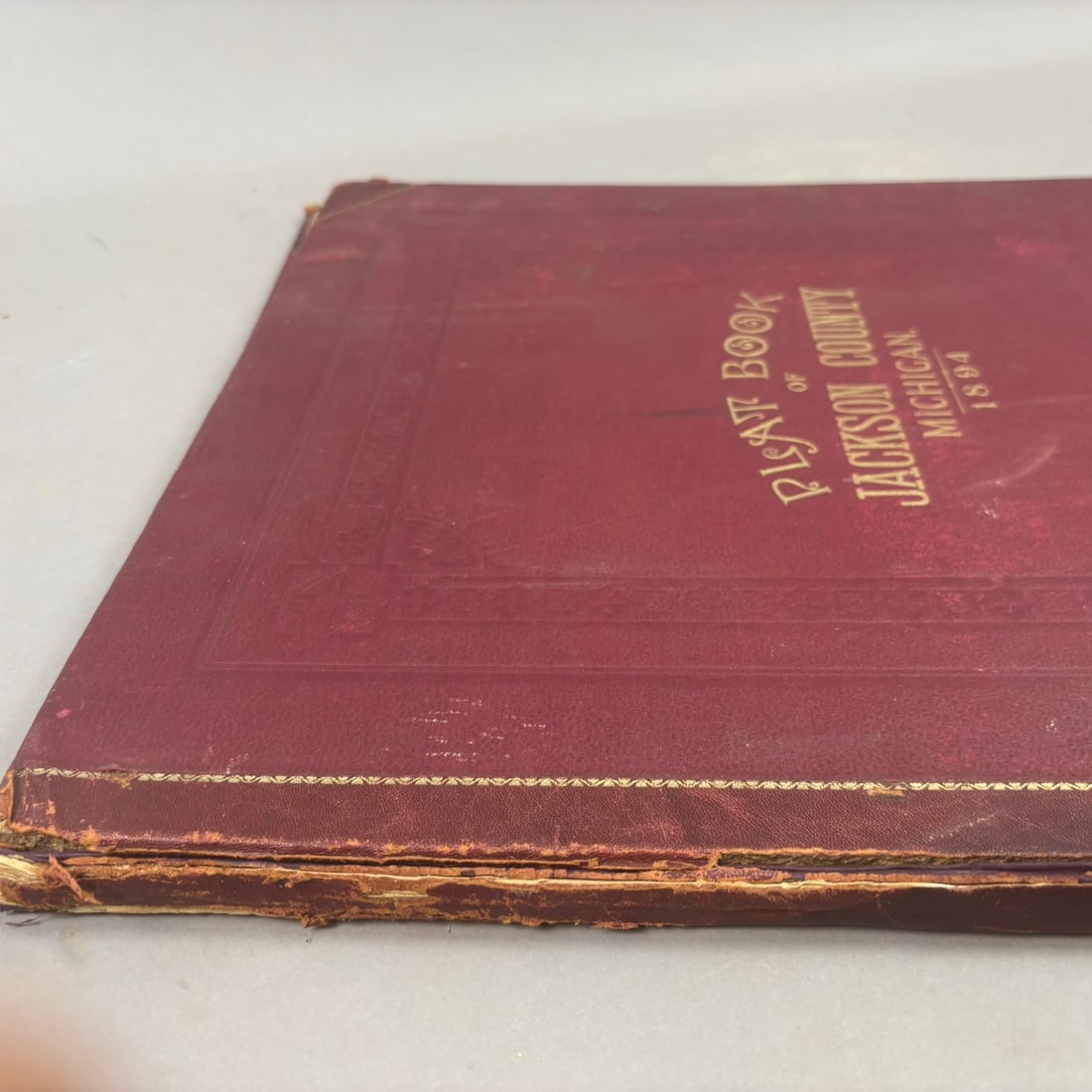
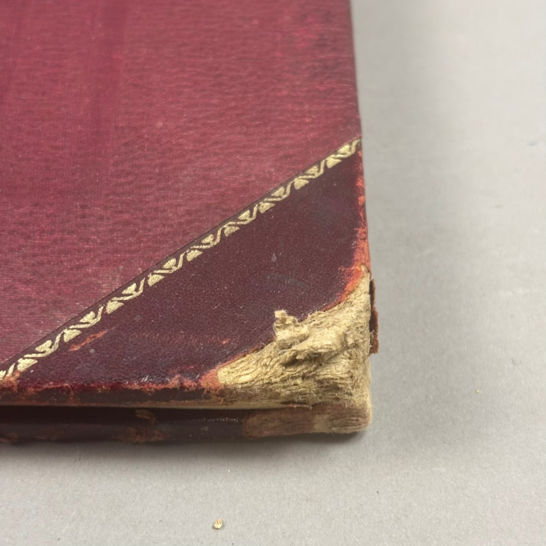
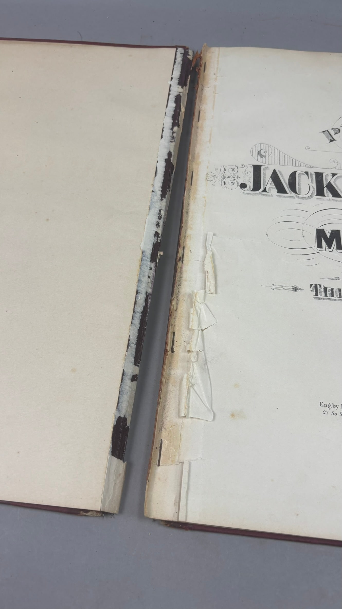
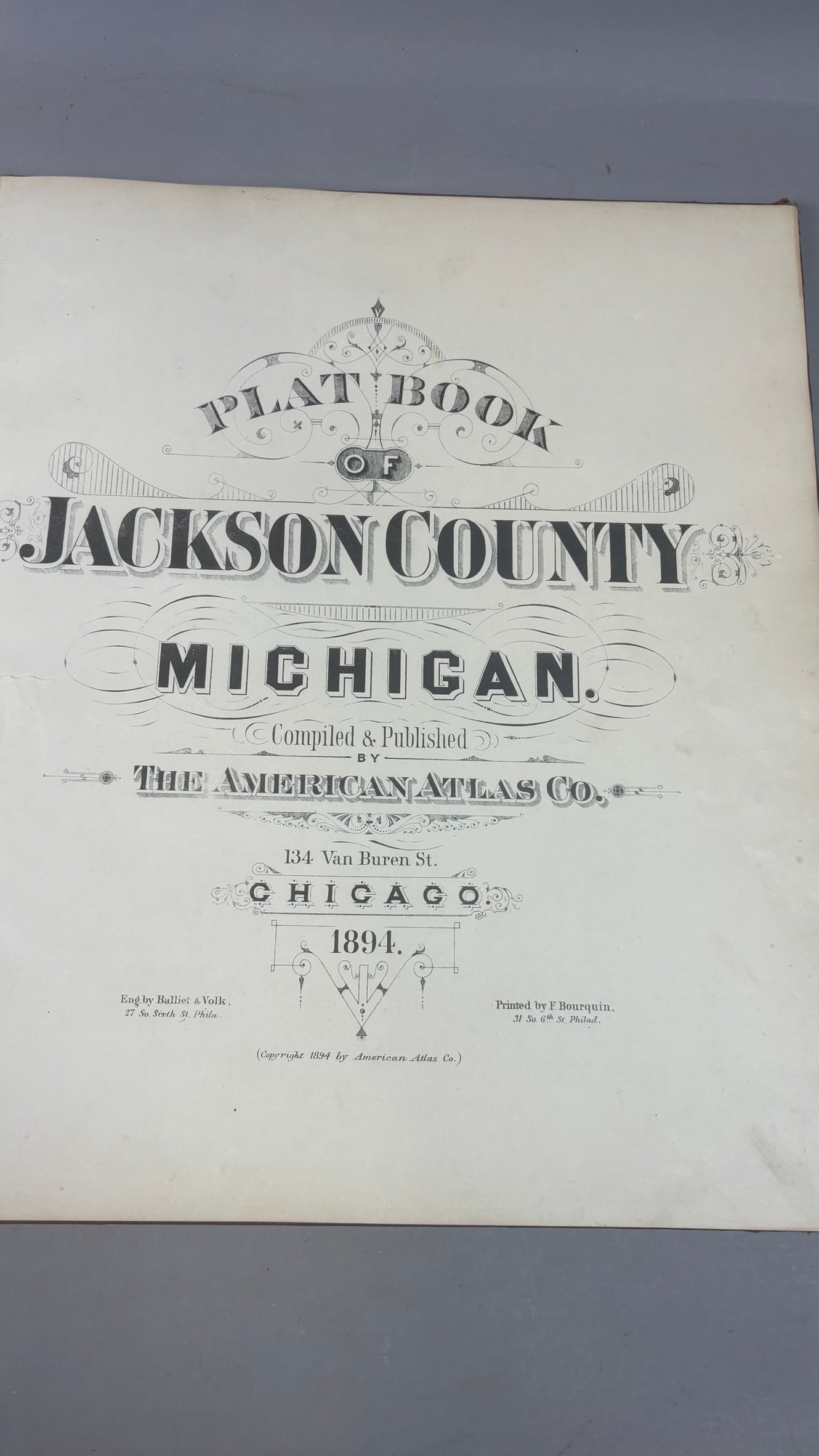
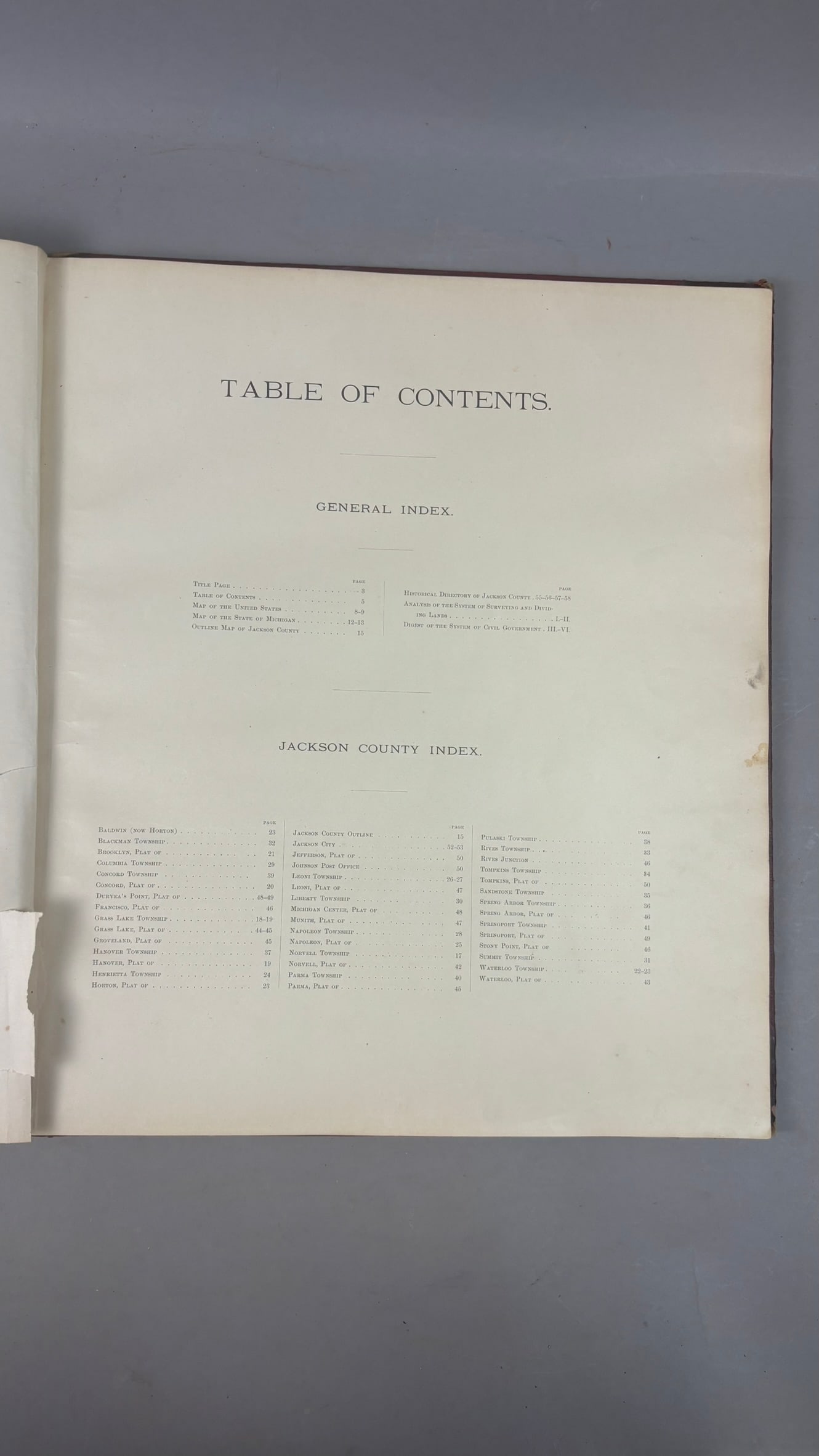
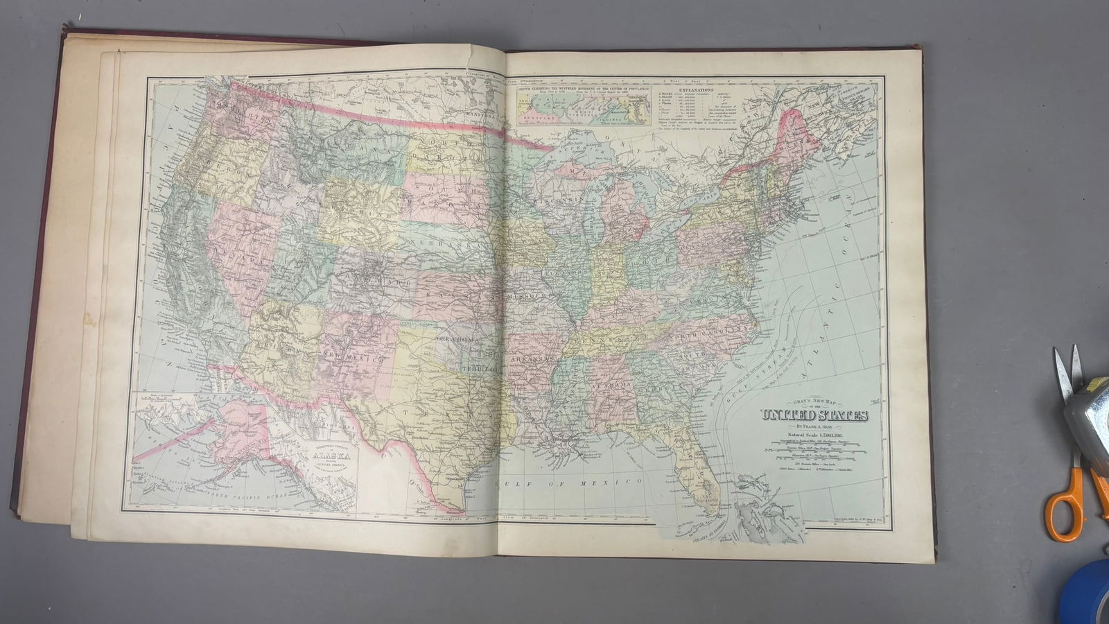
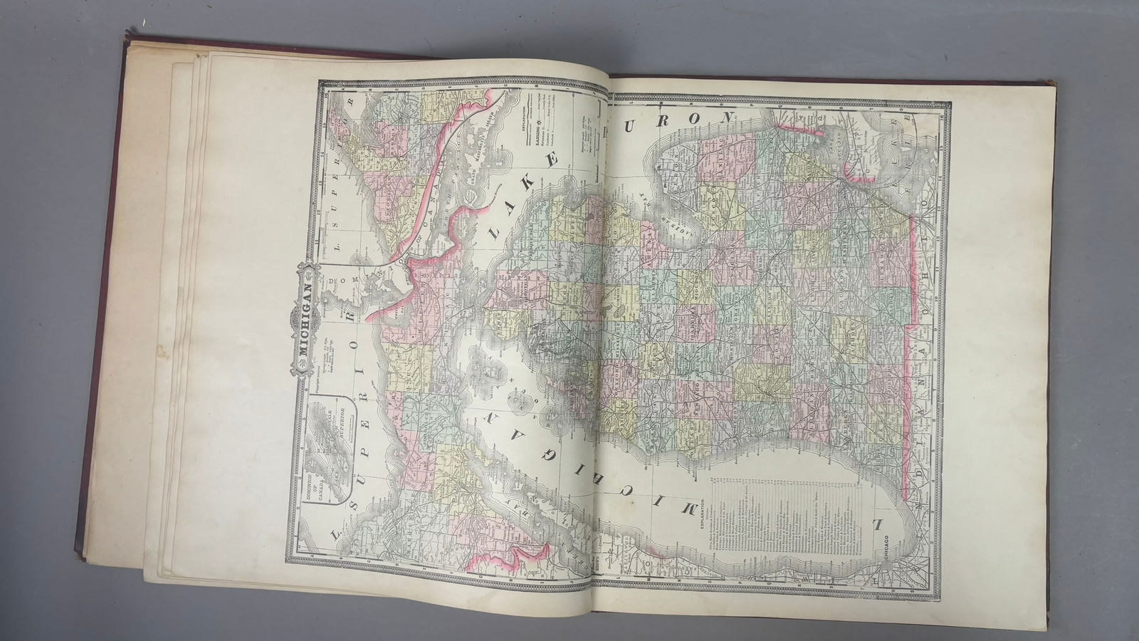
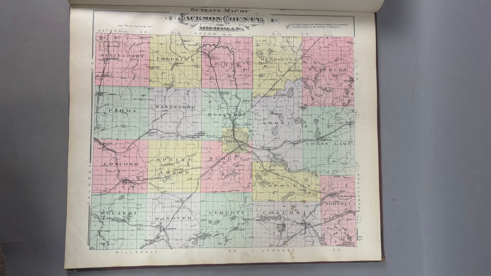
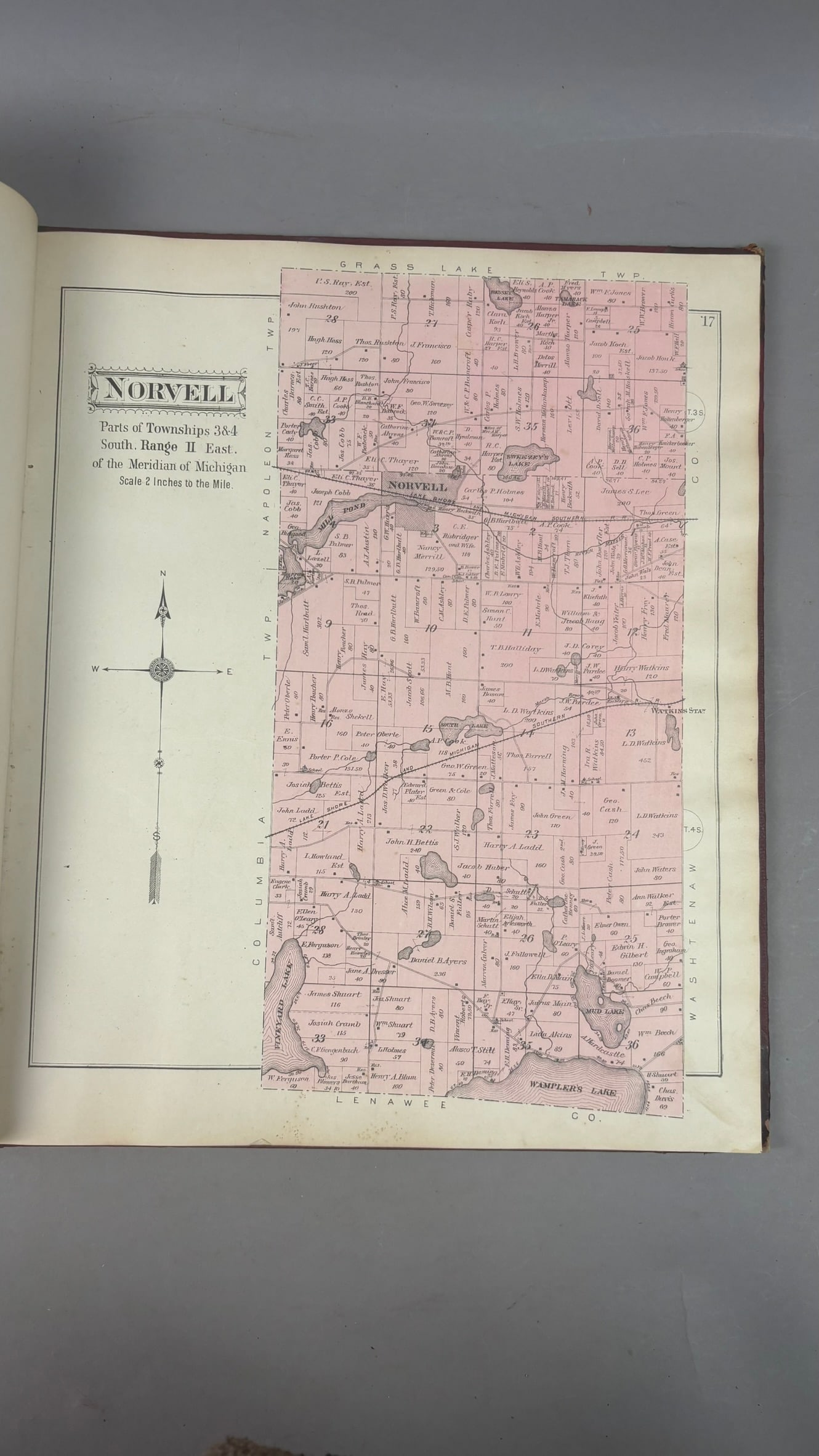
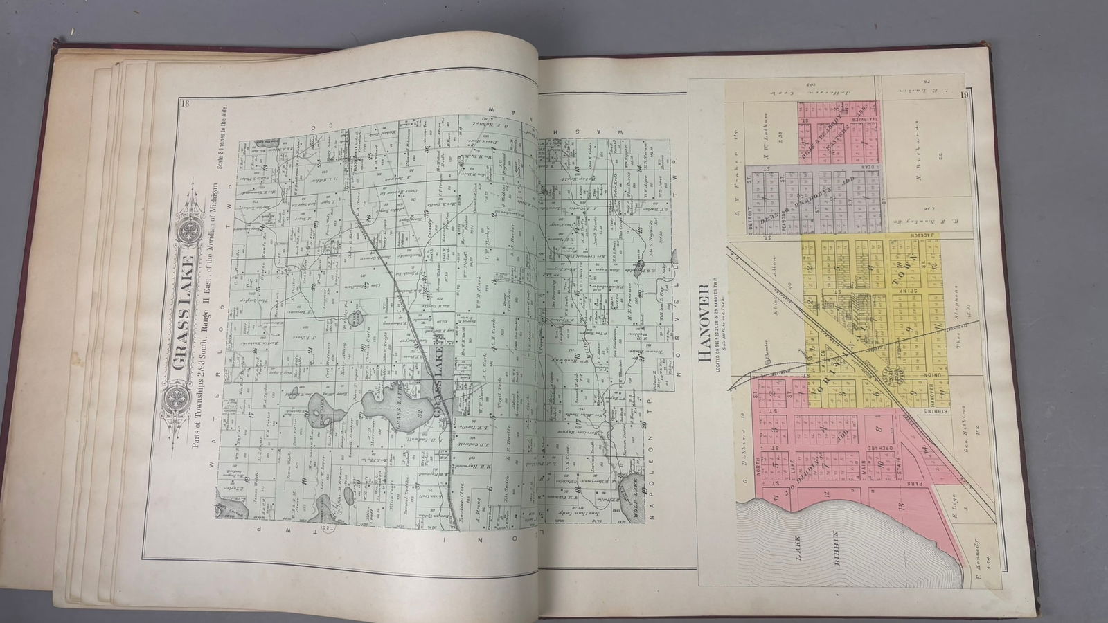
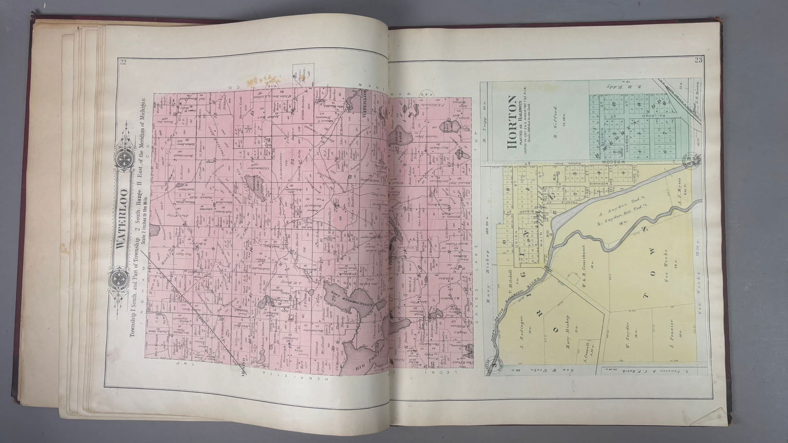
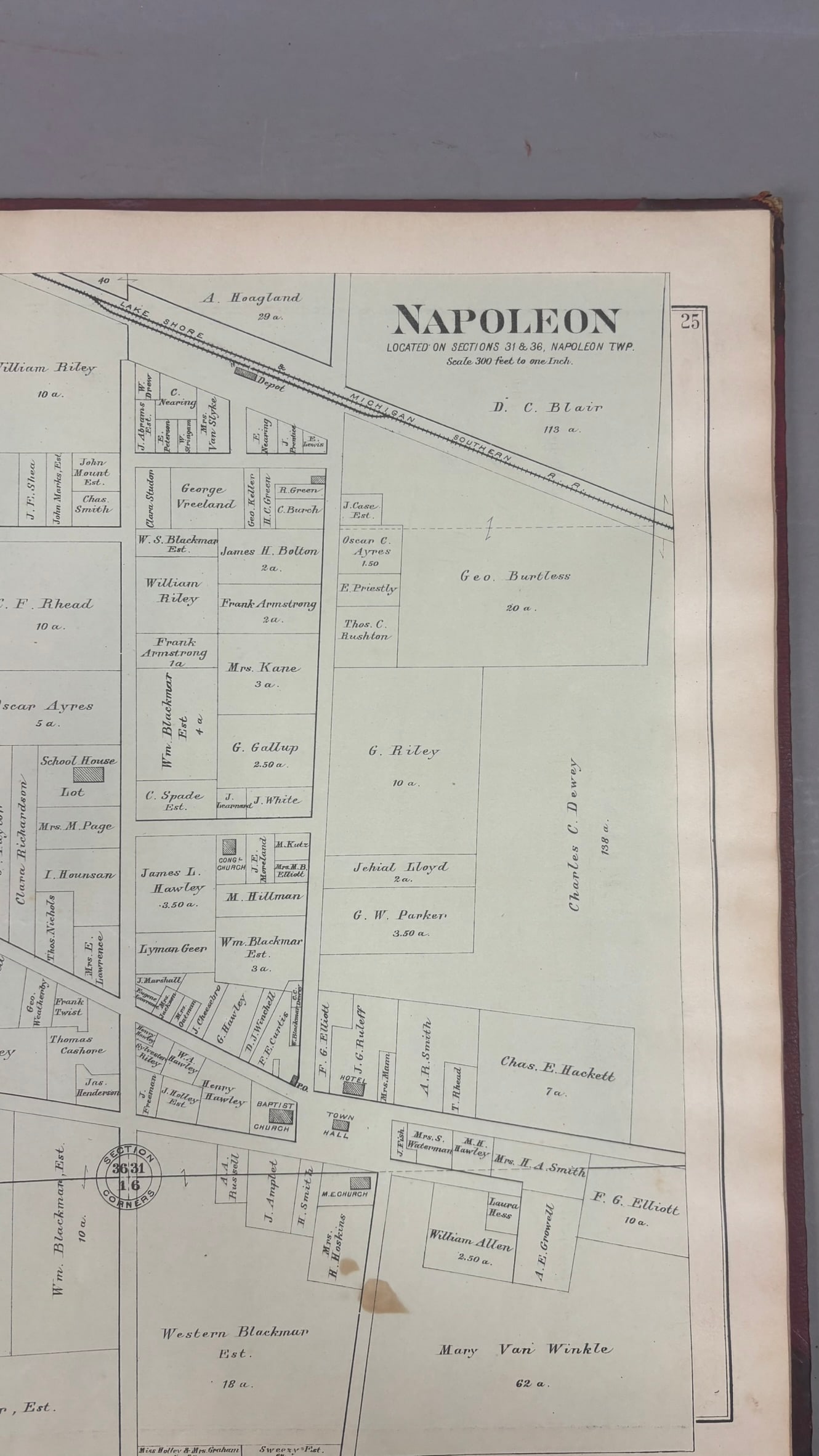
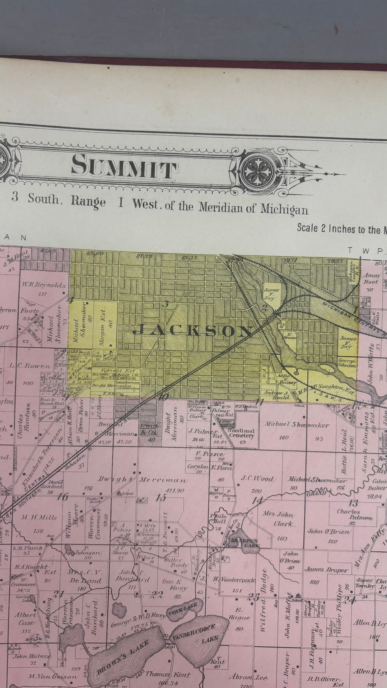
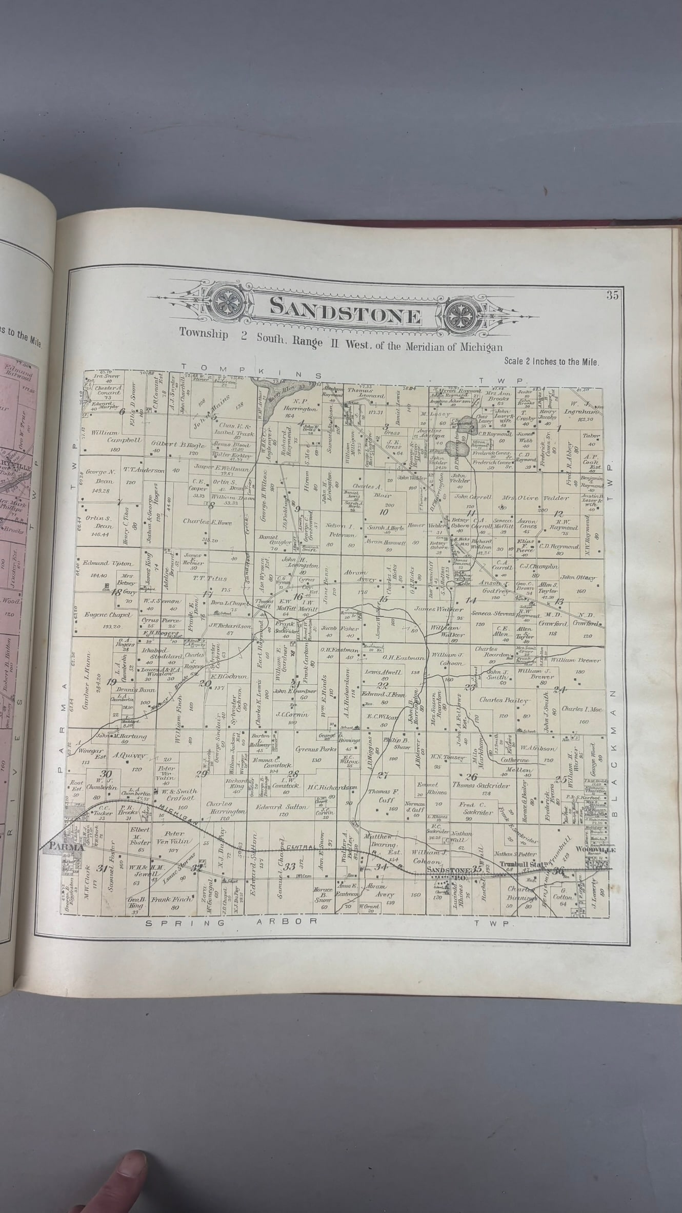
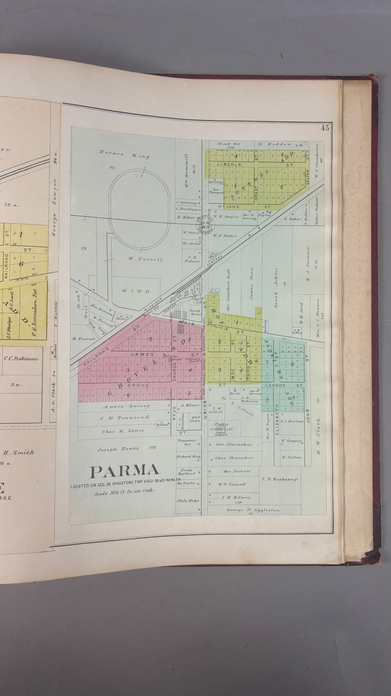
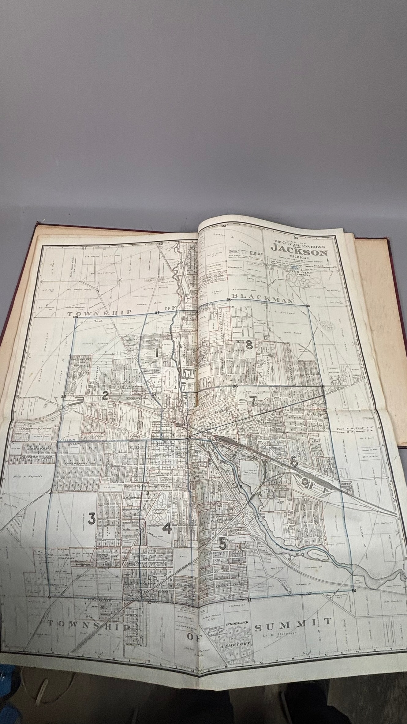
Large folio Plat Book of Jackson County Michigan compiled and published by the American Atlas Company, Chicago, 1894. Bound in original red gilt-stamped cloth boards with decorative borders and corner flourishes, the atlas contains detailed county maps, township plats, and city plans identifying landowners, roads, railroads, lakes, and property boundaries throughout Jackson County. Included are large folding color maps of the United States, Michigan, and numerous township maps such as Summit, Sandstone, and Napoleon, along with detailed plans of the City of Jackson and surrounding communities. The volume measures approximately 15.5" x 18" and presents with typical age-related wear including edge rubbing, corner wear, and light foxing to pages, while the maps remain clean and highly detailed. A desirable late 19th century Michigan county atlas useful for genealogy, land research, and regional history.
Share this lot: