
Art, Gold & Silver, Primitives & Rare Books
Lot 167:
Description
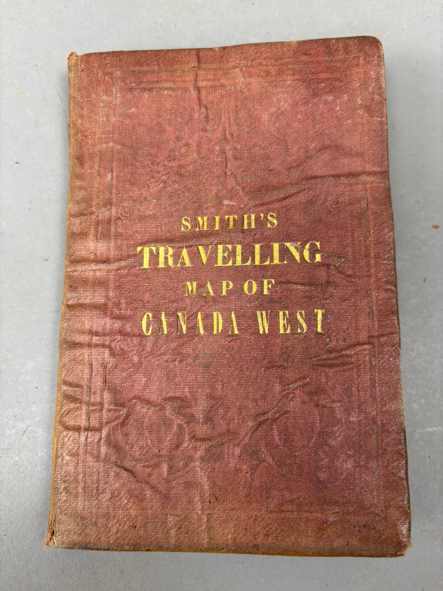
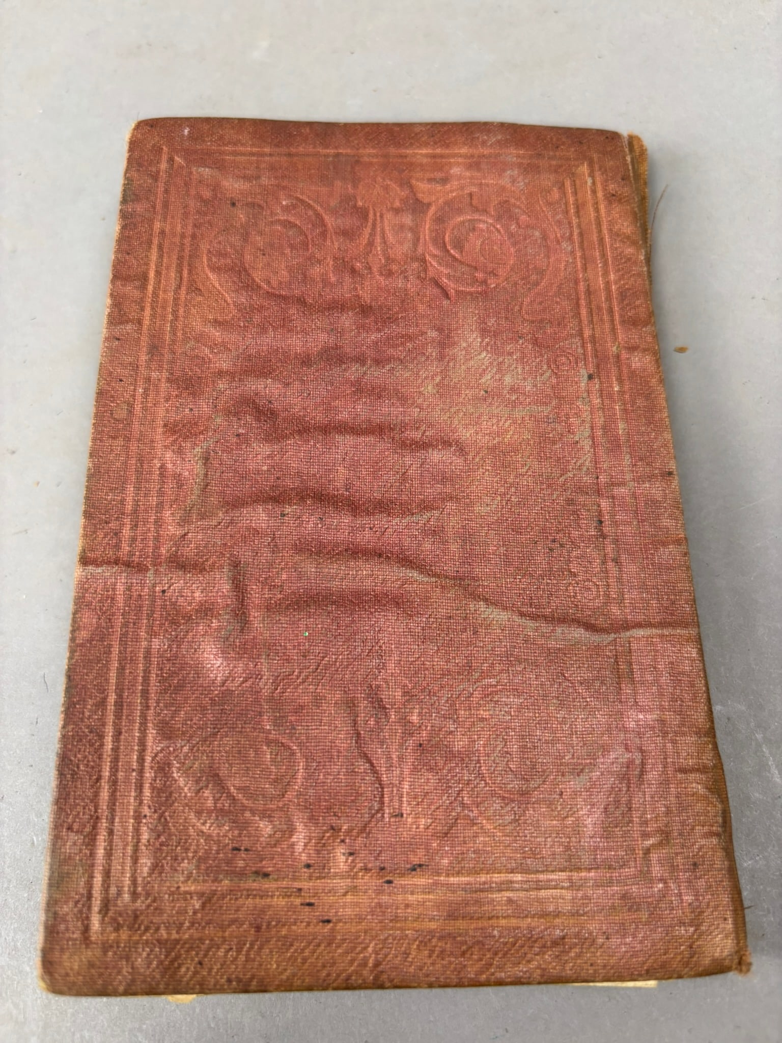
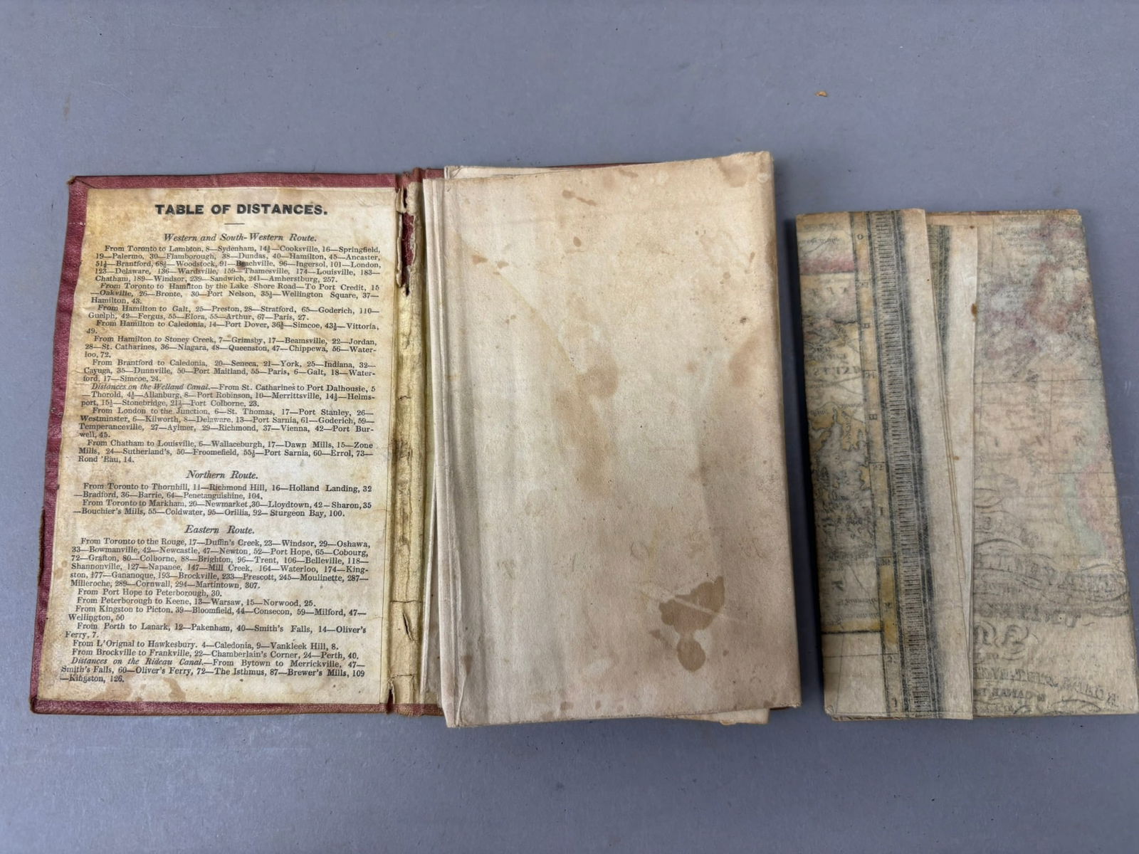
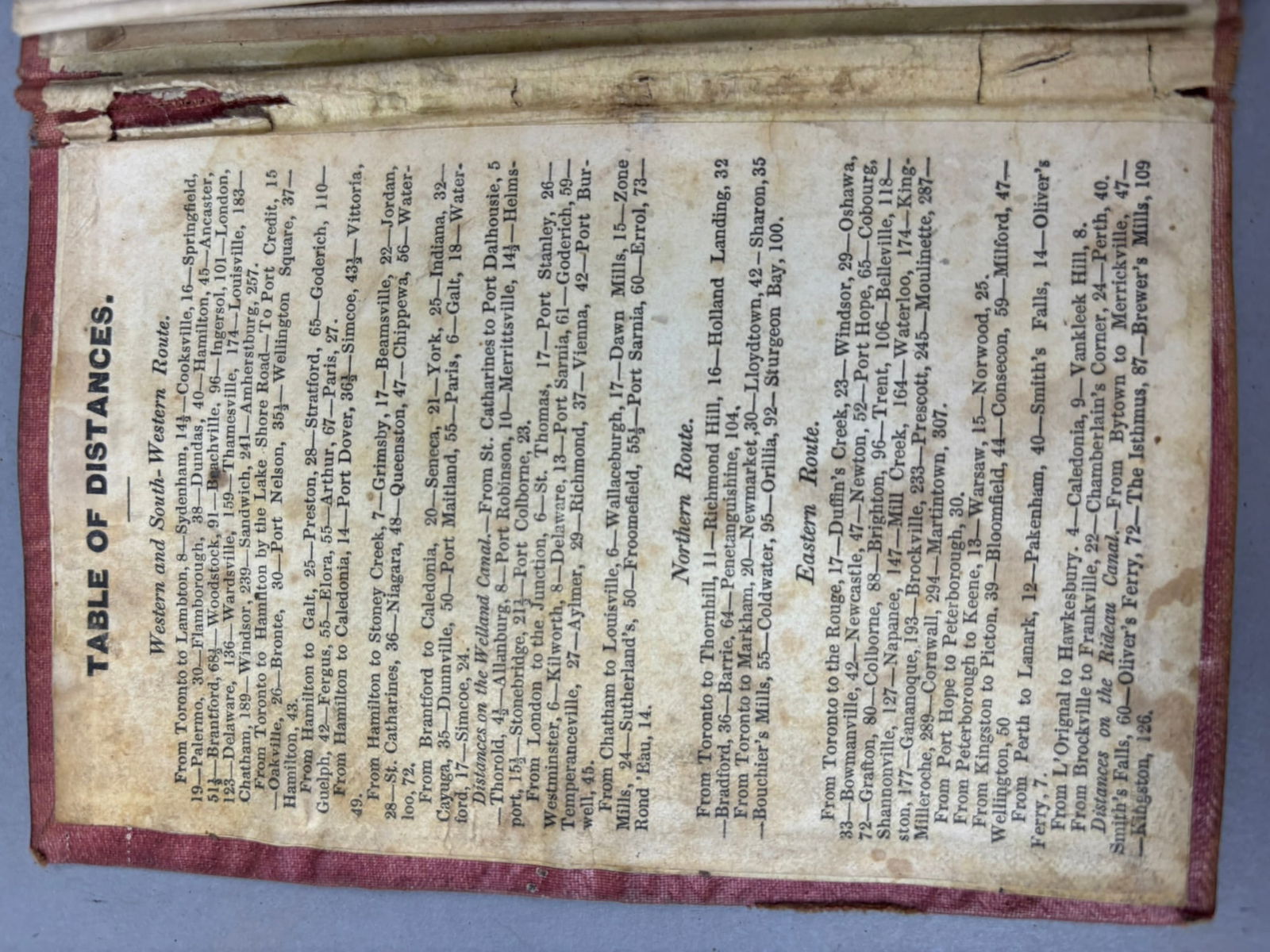
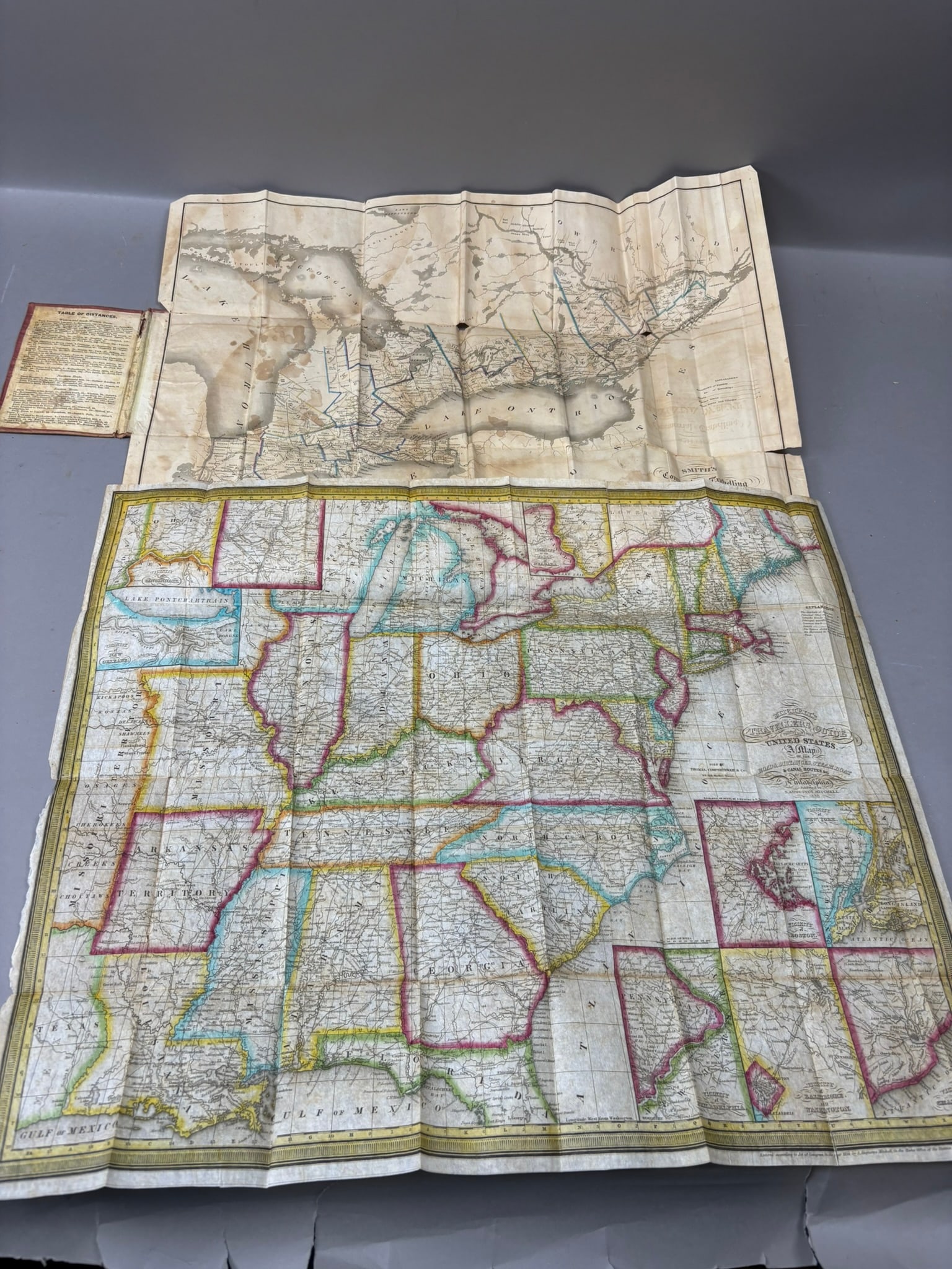
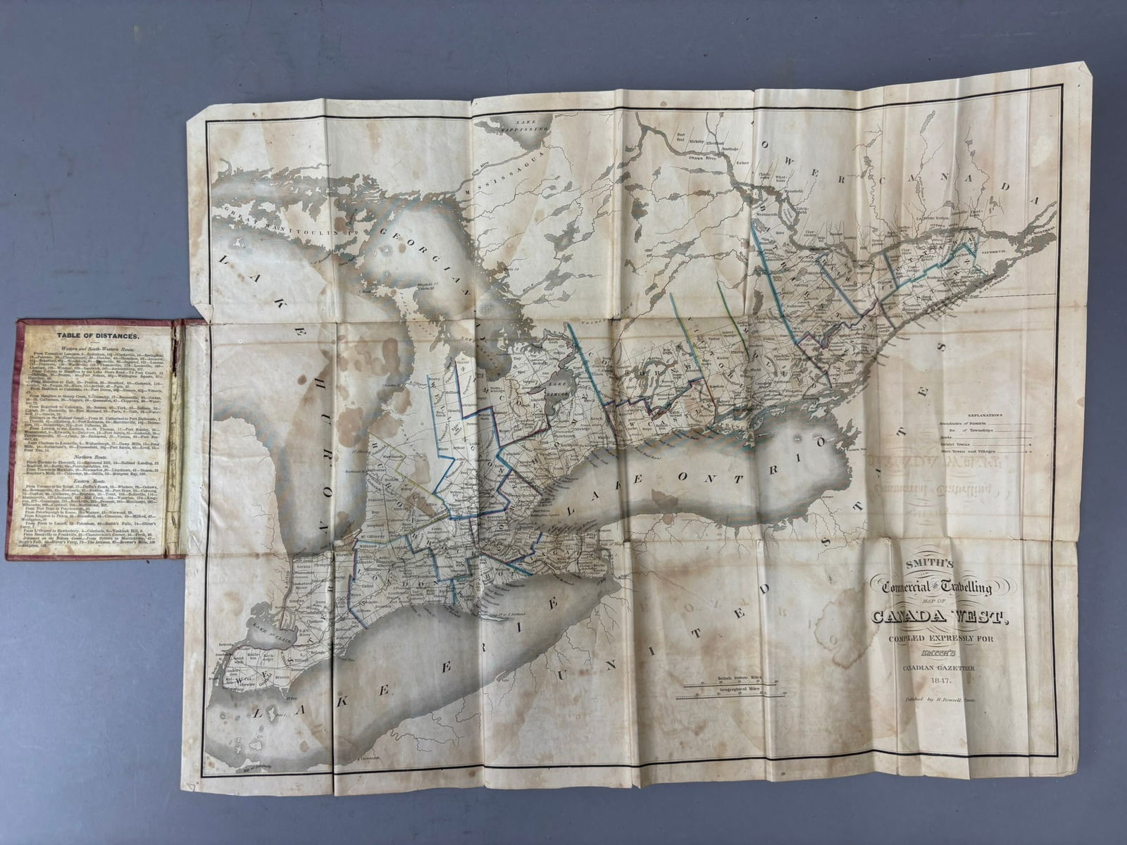
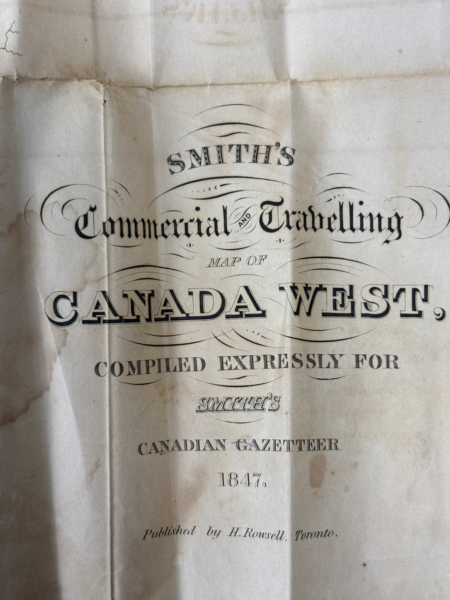
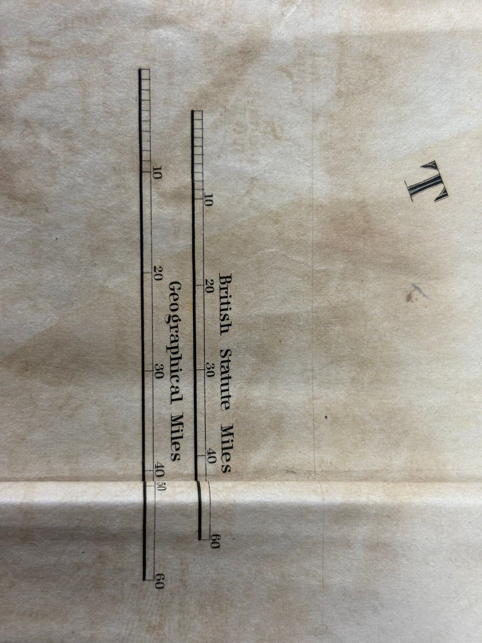
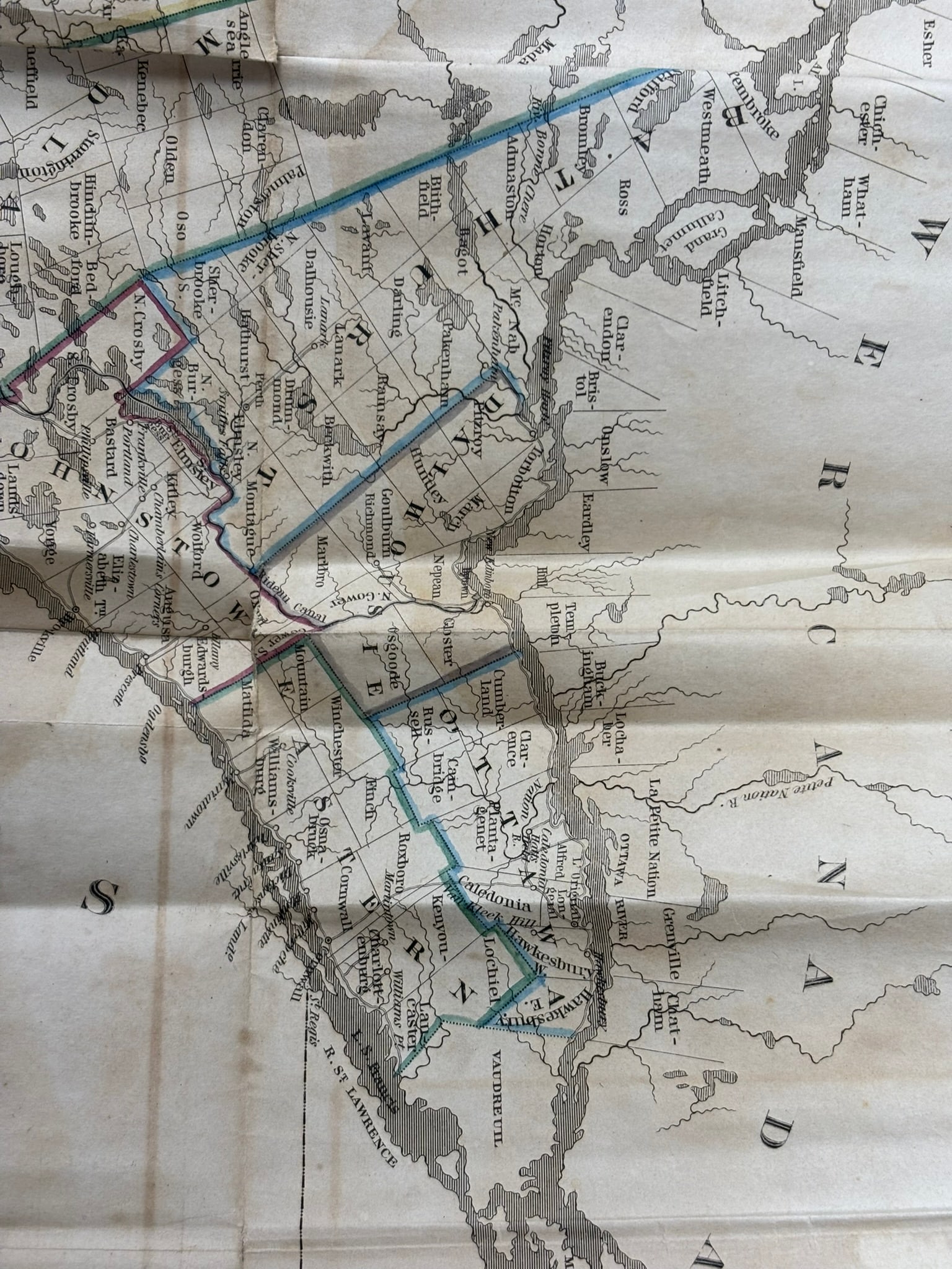
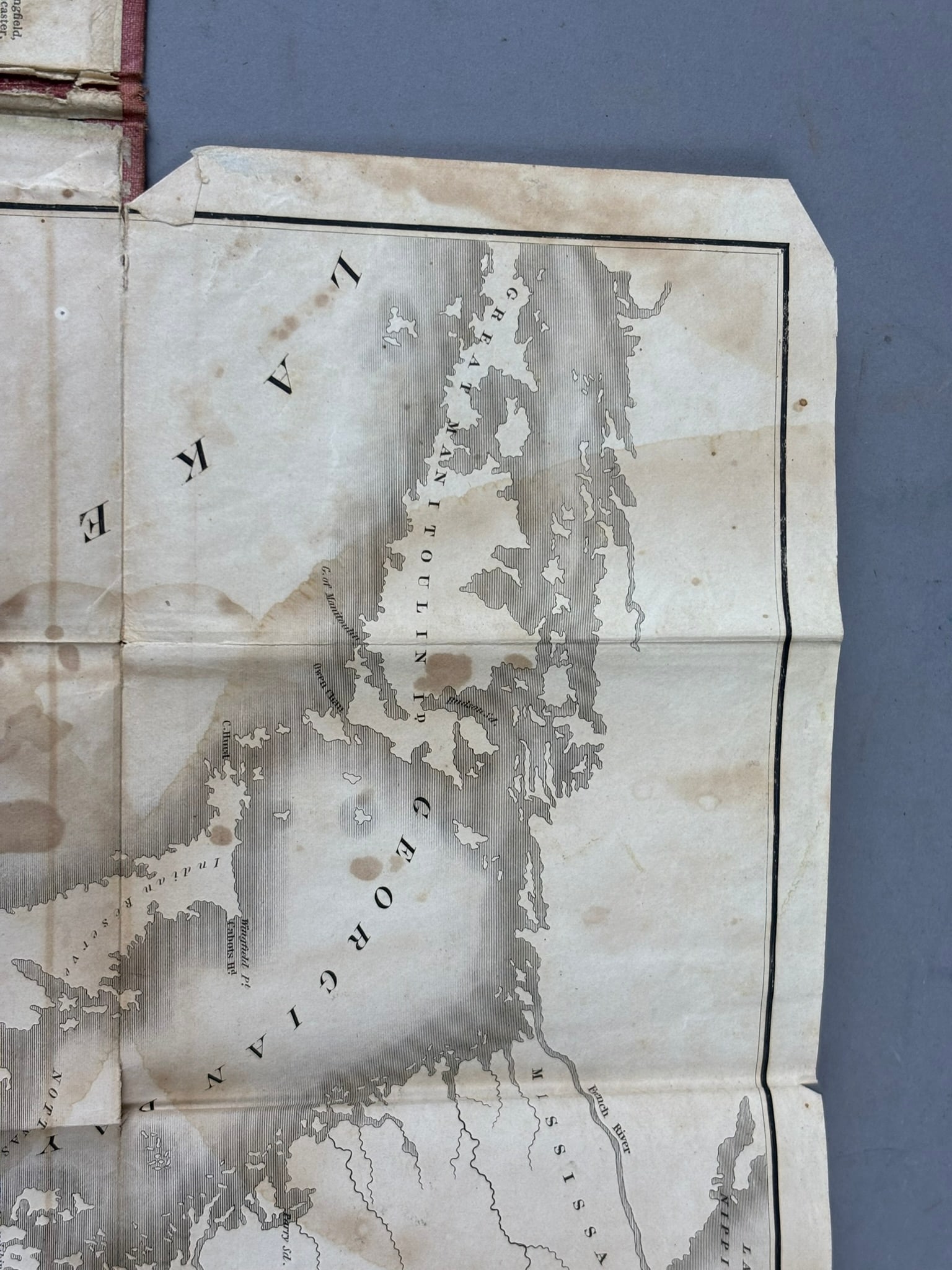
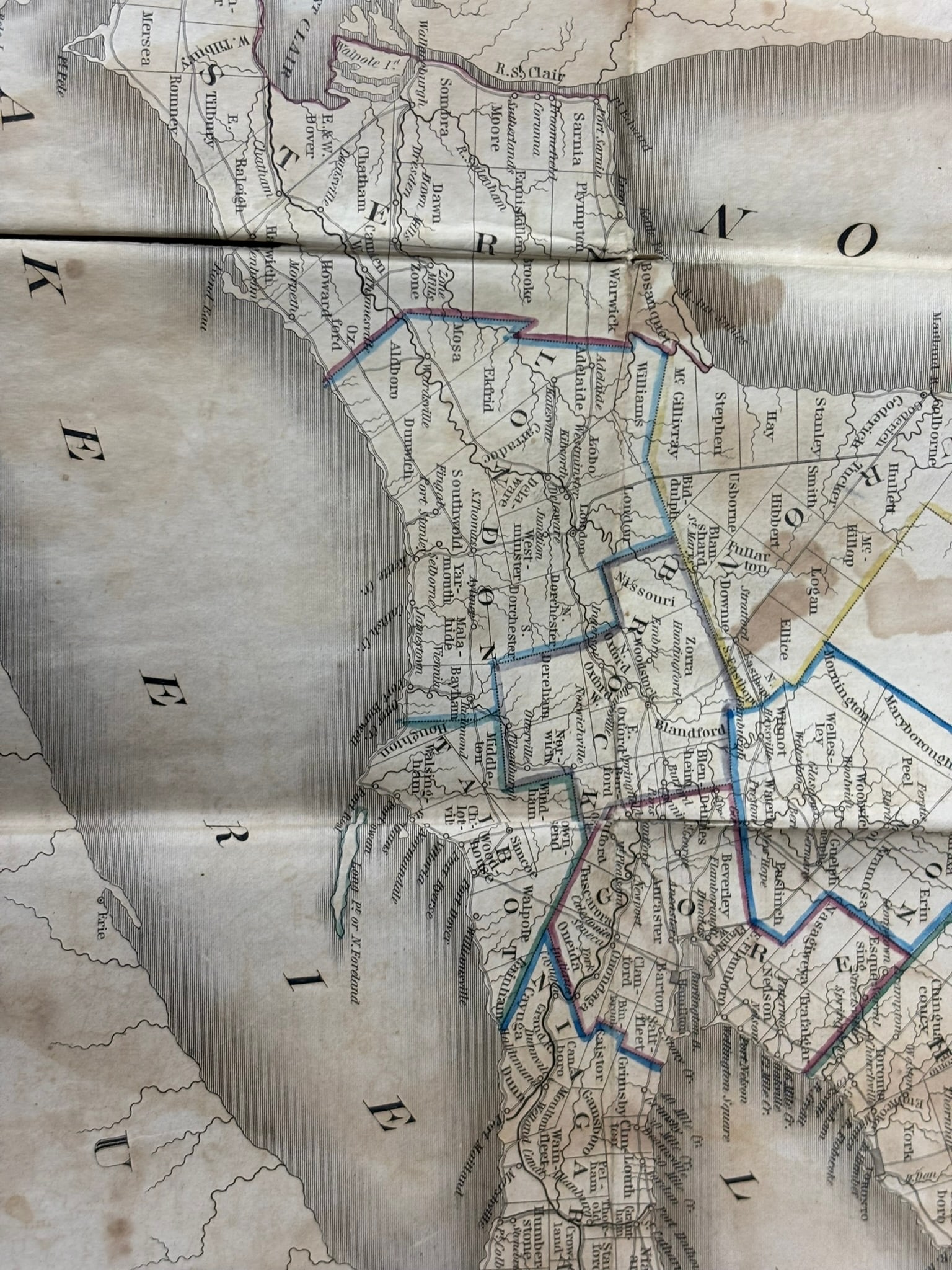
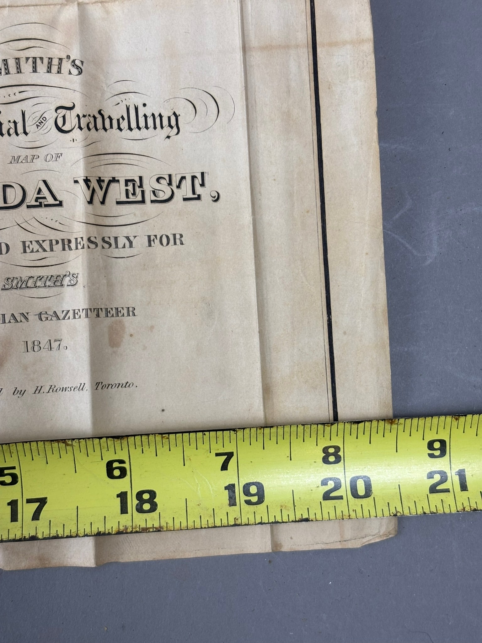
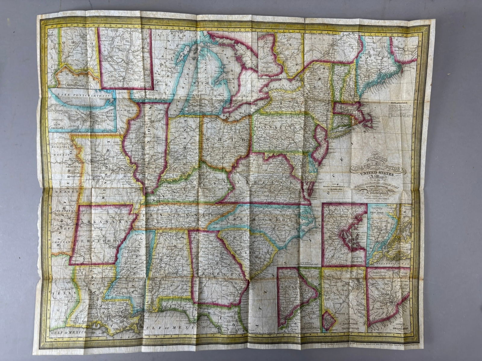
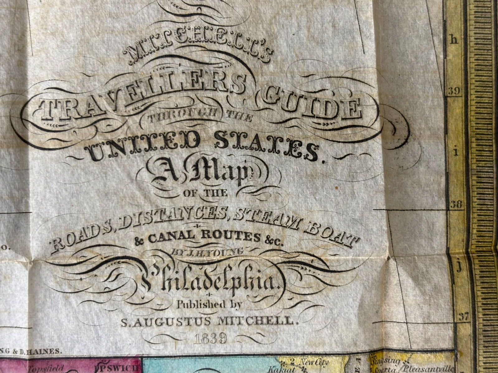
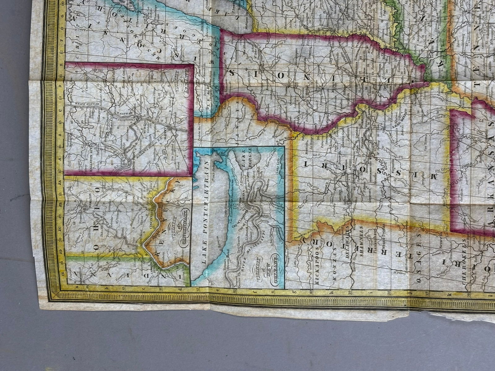
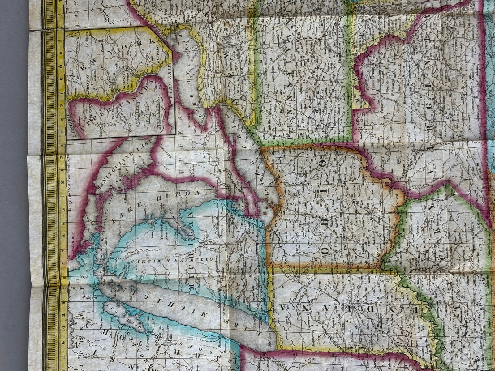
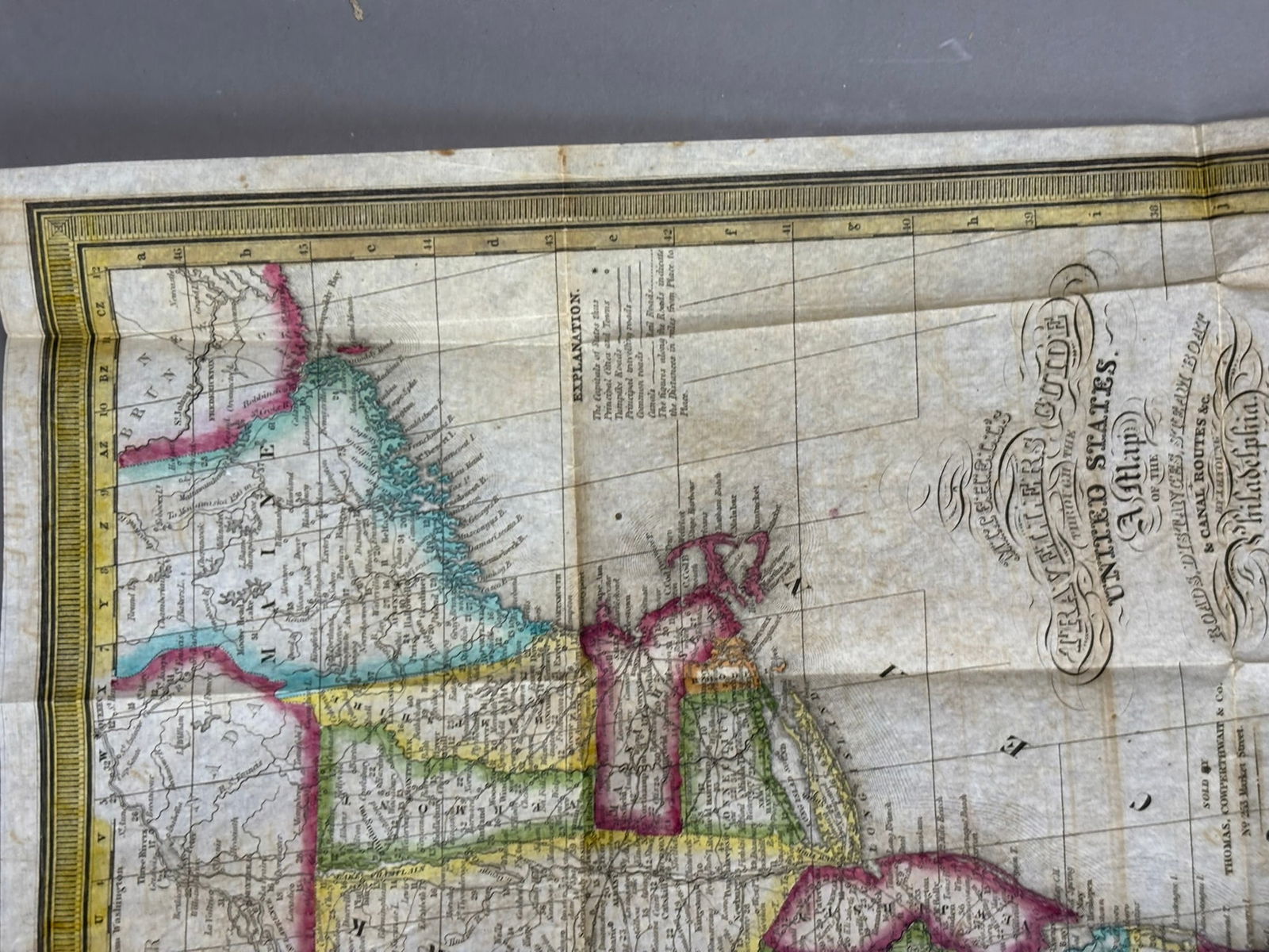
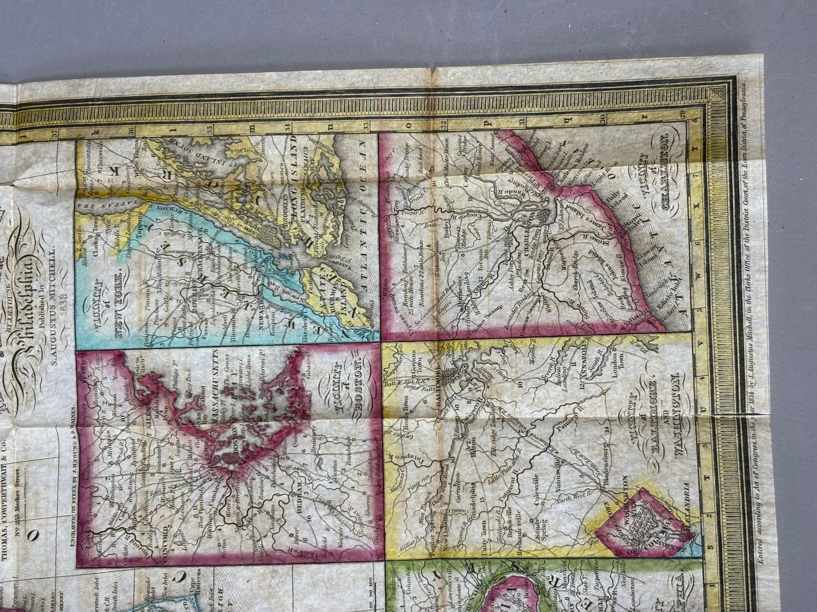
Mid-19th century folding pocket map titled Smith’s Travelling Map of Canada West, compiled expressly for Smith’s Canadian Gazetteer and published by H. Rowsell, Toronto, dated 1847. The map is housed in its original embossed cloth binding with gilt title on the cover and folds out into a detailed engraved map showing roads, distances, waterways, and transportation routes across Canada West (present-day Ontario). Interior includes printed tables of distances and route information for travelers, reflecting early commercial and transportation networks in the region during the pre-Confederation period. The map shows expected fold lines from use and age toning with some wear to the cloth covers and edges, consistent with a mid-19th century traveler’s guide. An attractive and historically interesting early Canadian pocket map combining cartographic detail with period travel information, desirable to collectors of Canadian history, early maps, and transportation ephemera.
Share this lot: